-
-

-
Fotograf: Tobias Ivarsson
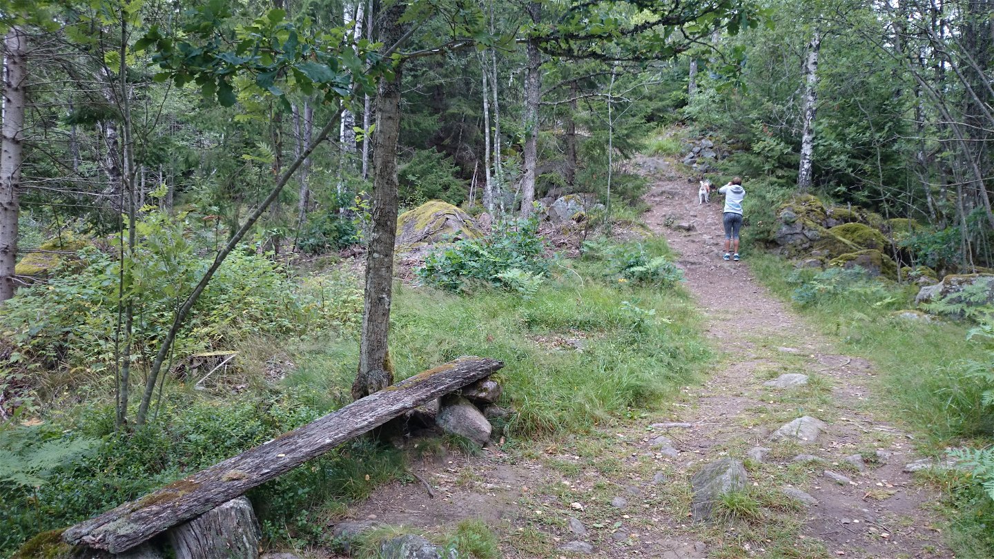
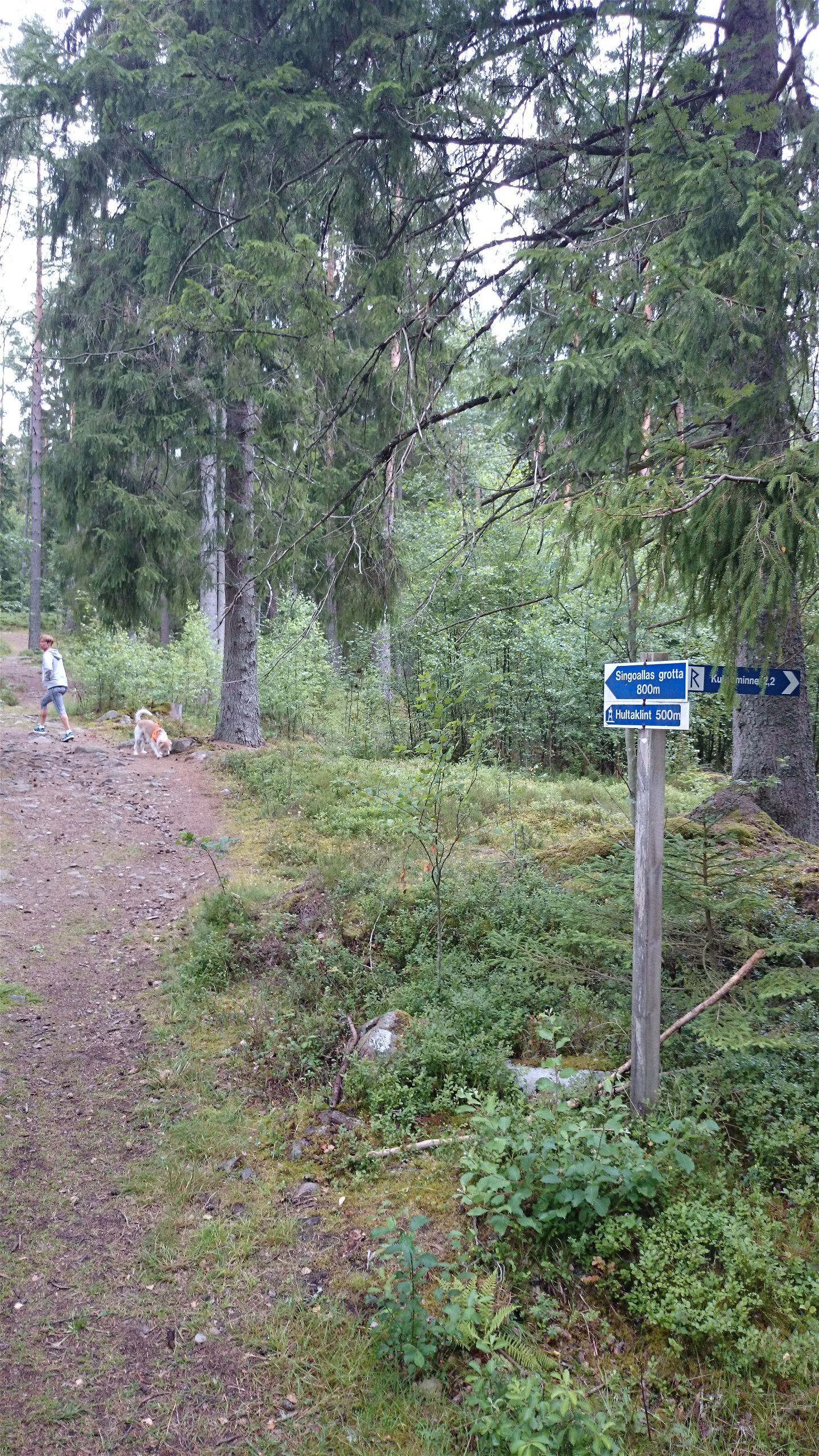

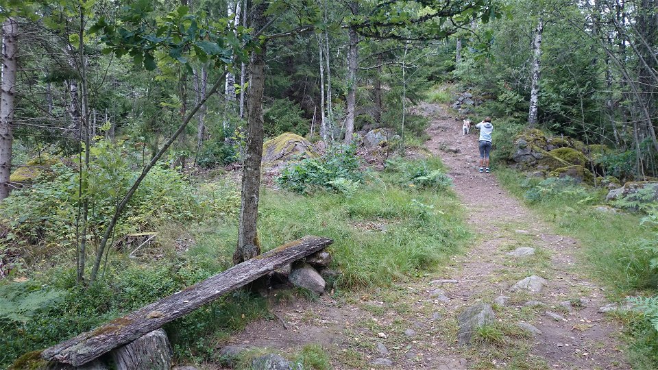
Trail to Hultaklint and Singoalla's cave
Hiking
- County: Kronobergs län
- 6791.15 km away from you
Trail details
- Length 0.8 km
- Difficulty Red - demanding
Actions
Description
This trail starts at the parking area and takes you up to Hultaklint (500 metres) and Singoalla’s cave (800 metres). Energetic legs and a good sense of balance are needed, as the trail, in part, can be steep and stony. A bit longer hike will take you to the root cellar in Björnadal.
Activities And Facilities
-
Hiking
Accessibility
-
 Near parking
Surface
Bred upptrampad stig
Hills
Rocky and steep sections
Directions
The trail starts from the Hultaklint parking lot and Singoalla cave. This is located east of Lädja village, follow the signs. Note that you cannot drive via GPS here but must follow the road signs towards the visitor destinations Singoallas grotta and Hultaklint.
Contact
Address
Telefon 0470-410 00
Email address
Kontaktcenter
Organization logotype
![]()
Please be aware that some of these texts have been automatically translated.
Questions & Answers
Ask a question to other Naturkartan users.
