-
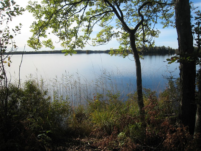
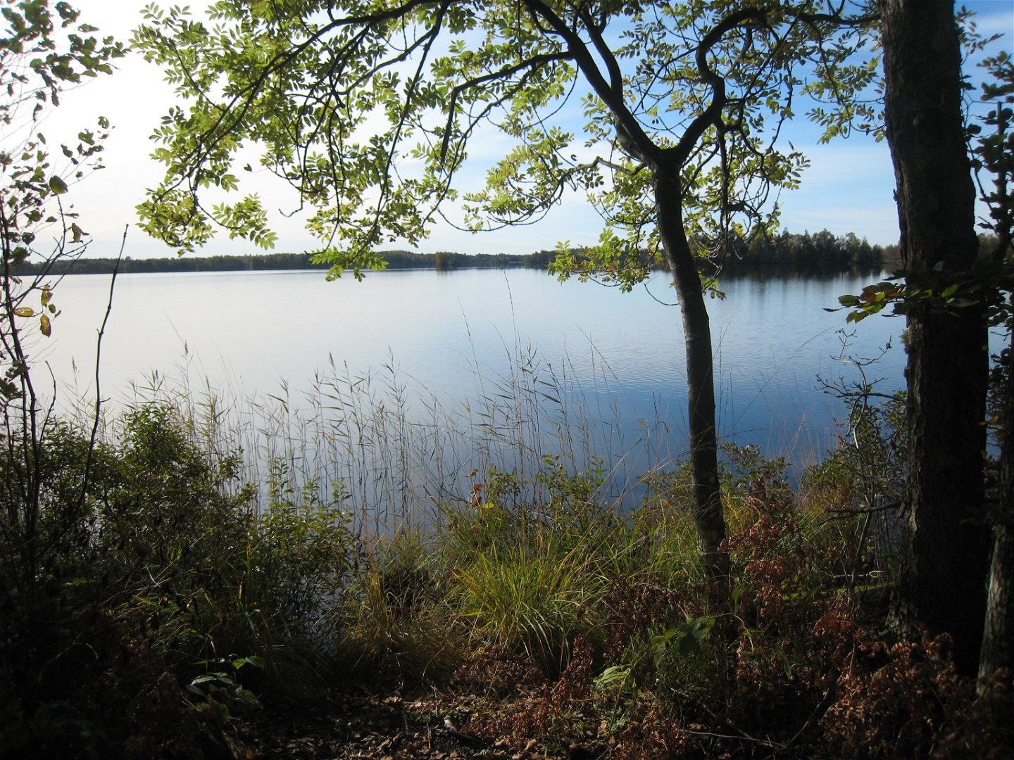
Utmed Vederslövssjön -

Fotograf: Ingela Eriksson -
Fotograf: Ingela Eriksson


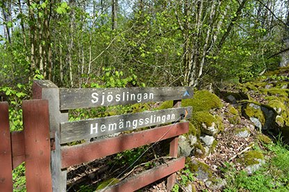
Osabys sjöslinga
Hiking
- County: Kronobergs län
- 6813.8 km away from you
Trail details
- Length 3.6 km
- Difficulty Blue - medium
Actions
Description
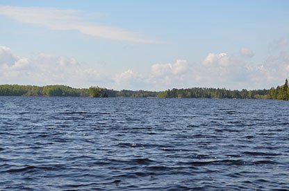
The walking and jogging-friendly Sjöslingan offers several of Osaby's highlights. Gröngölingen's oak groves are followed by flower-rich Hemmaängen and Osabyviken's reeds. Soon you will also reach a dense and lush wall of deciduous jungle and undergrowth. This section has grown up in the wake of hurricanes Gudrun and Per and is currently being formed into a new forest. The path also reaches atmospheric rocky outcrops facing the waters and islands of Vederslövssjön. Eurasian bittern, osprey and lark falcon belong to the summer, while otter tracks are often seen during winter and spring.
Activities And Facilities
-
Hiking
-
 Trail running
Accessibility
-
 Near parking
Surface
Nice little paths with some footbridges.
Hills
Mostly flat with some minor elevations.
Parking
There is parking at Osaby manor where the reserve parking lot is on the right side of the road.
Directions
Sjöslingan is part of Osaby nature reserve. Osaby is located 15 kilometers south of Växjö.
Contact
Address
Telefon 0470-410 00
Email address
Kontaktcenter
Organization logotype
![]()
Please be aware that some of these texts have been automatically translated.
Questions & Answers
Ask a question to other Naturkartan users.
