

-

Photo: Anders Bergön -

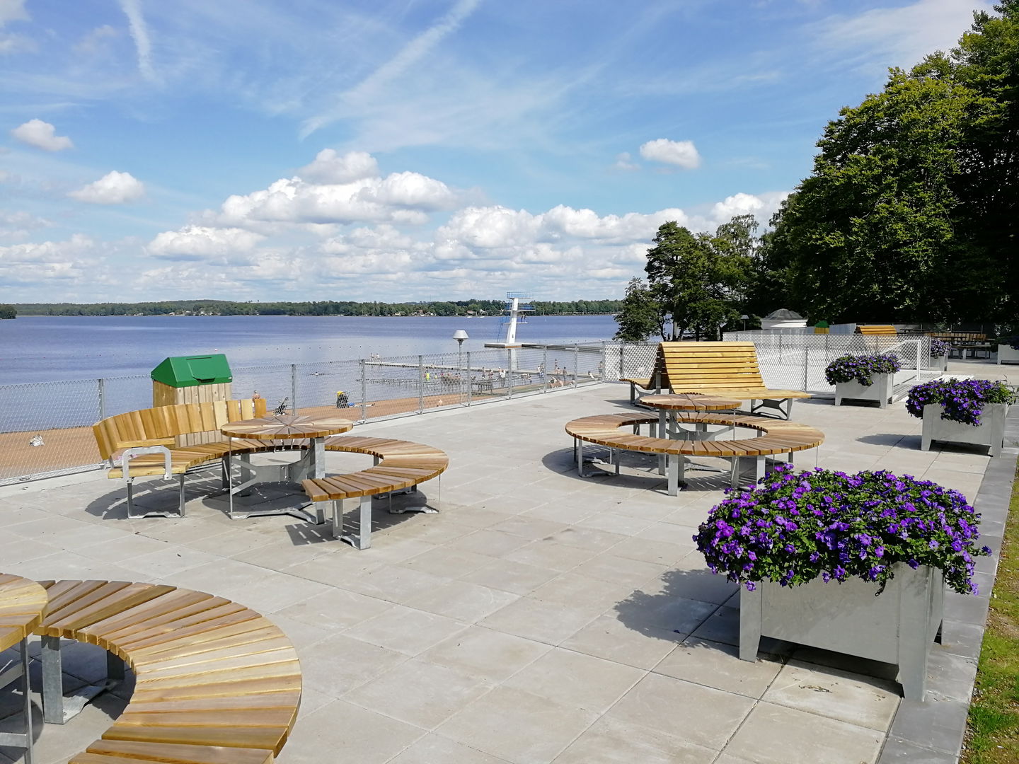
Sommarnavet Evedal -

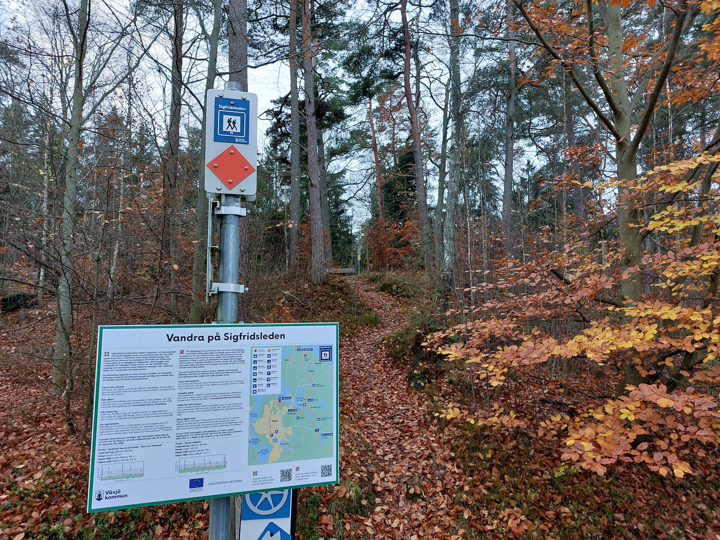
Ledinformation vid Evedalsåsen -

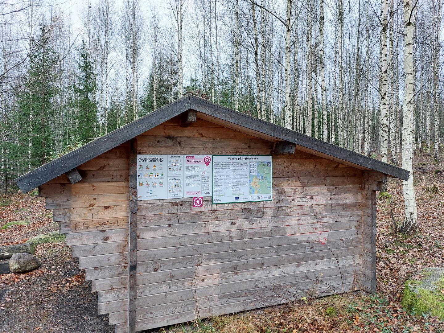
Vindskydd vid Ekorrbryggan

Sigfrid Trail stage SL3A – Växjö Cathedral-Evedal-nature reserve Fylleryd - Part of the Småland Trail
Hiking
- County: Kronobergs län
- 6808.29 km away from you
Trail details
- Length 12.4 km
- Time 2 h 28 min
- Difficulty Blue - medium
Actions
Description
Sigfridsleden trail connection from Växjö Cathedral and train station, past the Evedal hub, to the peaceful Ekorrbryggan in the Fylleryd nature reserve. The trail connection starts from Växjö Cathedral, along Sandgärdsgatan and further north on the narrow gauge to scenic Evedal. From Evedal, you can experience peaceful natural environments such as Evedalsåsen, Hovs göl and the Fylleryd nature reserve with the stage ending at Ekorrbryggan on the shore of lake Toftasjön. Three lakes are passed on the tour from the lively city of Växjö to the peaceful forest. It is, as always – easy to make public right of way on the hike.
Activities And Facilities
-
Hiking
Contact
Address
Telefon 0470-410 00
Email address
Kontaktcenter
Organization logotype
![]()
Questions & Answers
Ask a question to other Naturkartan users.
Reviews
You might also be interested in
