-

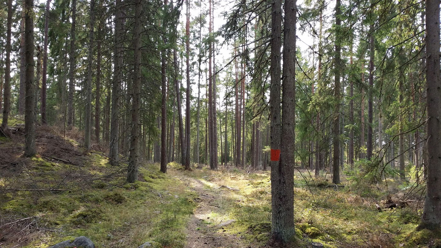
Skogskänsla nära Tjureda -

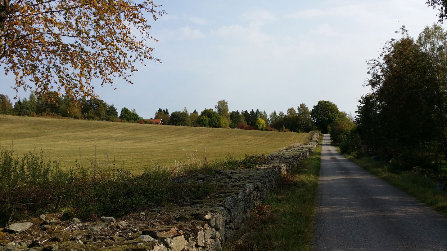
Ståtliga stenmurar -

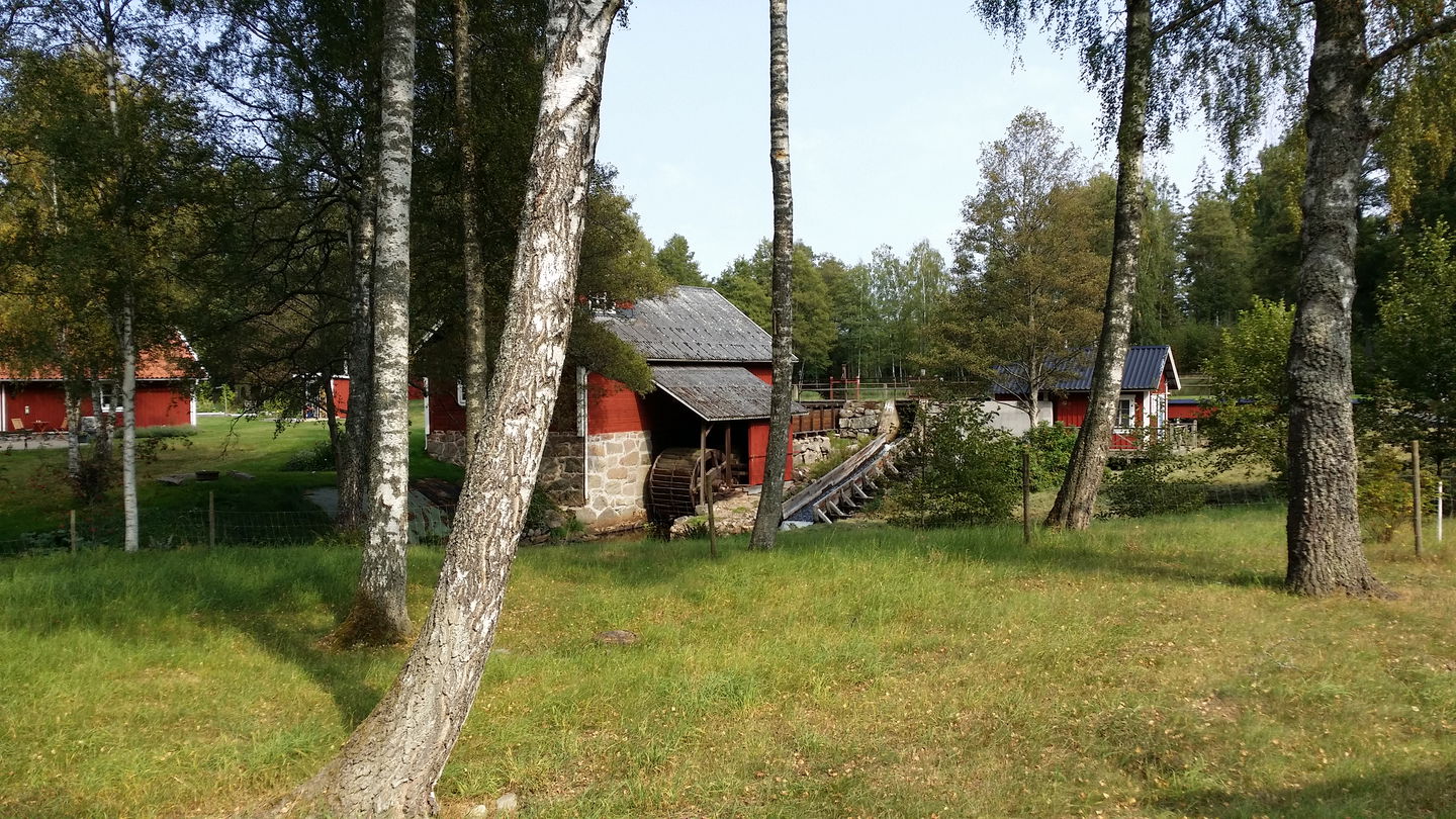
Stocke kraftverk inom synhåll -

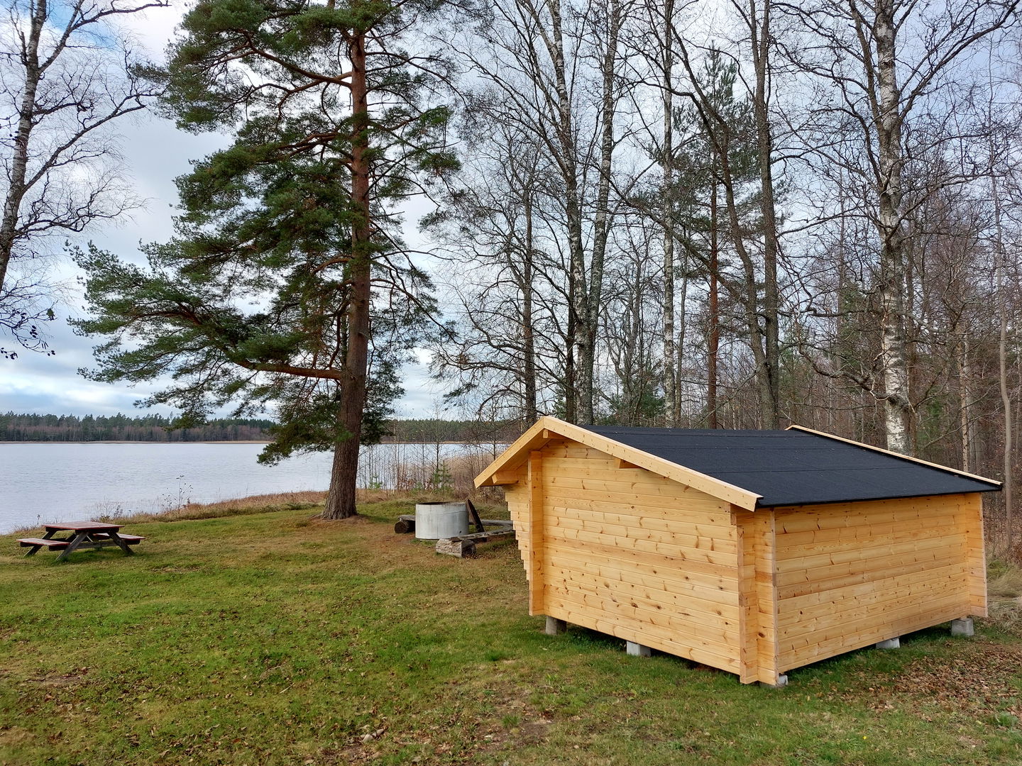
Stocke badplats med friluftsanordningar

Sigfrid Trail stage SL2 Nykulla-Stocke beach – Part of the Småland Trail
Hiking
- County: Kronobergs län
- 6800.09 km away from you
Trail details
- Length 12.9 km
- Time 2 h 30 min
- Difficulty Blue - medium
Actions
Description
The section between the Nykulla rest area and Stocke beach is an easy hike with trail grading indicated as blue. Longer stretches on paved minor roads with fine views of typical Småland agricultural landscapes are included. But also some more natural sections on forest roads and paths. Three lakes, with lake Helgasjön as the largest, are visible on the tour. Borlanda cultural environment is worth a short detour from Hagtorpet. Regional bus stops are close to both the start and finish of the stage, which facilitates sustainable transport on shorter hiking tours. Wind shelter and outdoor facilities make it easier to spend the night at the Nykulla rest area and Stocke beach. As always – it is easy to exercise public right of way on the hike.
Activities And Facilities
-
Hiking
Contact
Address
Telefon 0470-410 00
Email address
Kontaktcenter
Organization logotype
![]()
Questions & Answers
Ask a question to other Naturkartan users.
