-
-
-

Fotograf: Birgitta Warodell

Osabys gula stigar
Hiking
- County: Kronobergs län
- 6813.56 km away from you
Trail details
- Length 0.7 km
- Difficulty Green - simple
Actions
Description
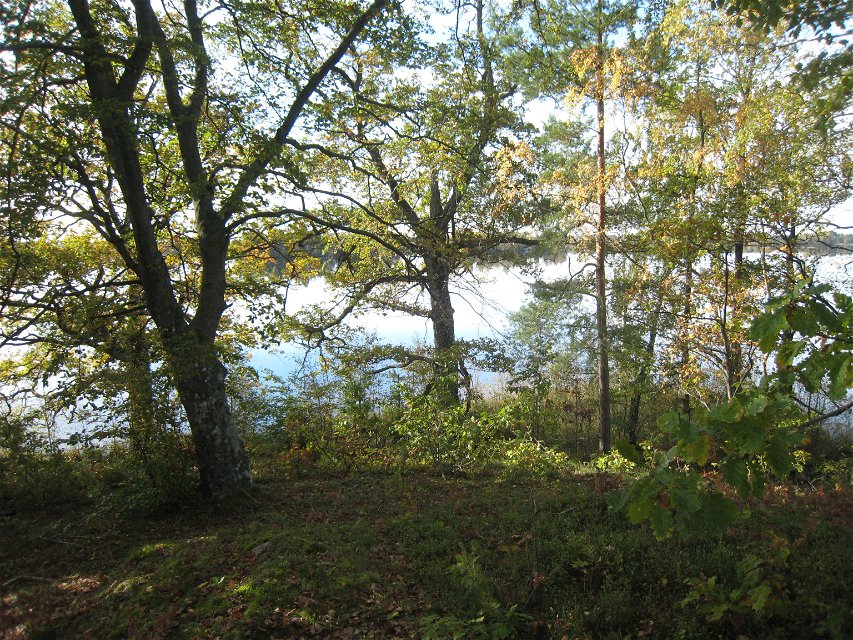
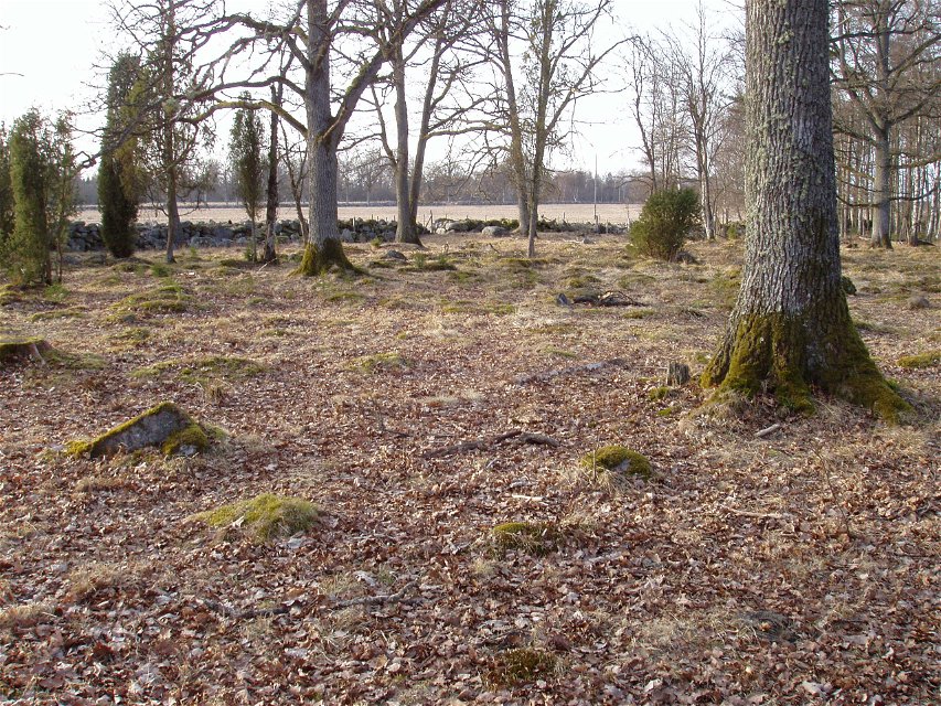
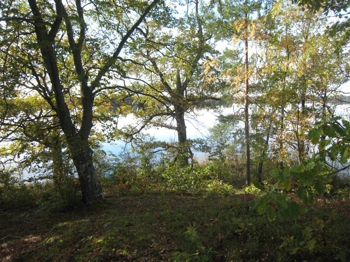
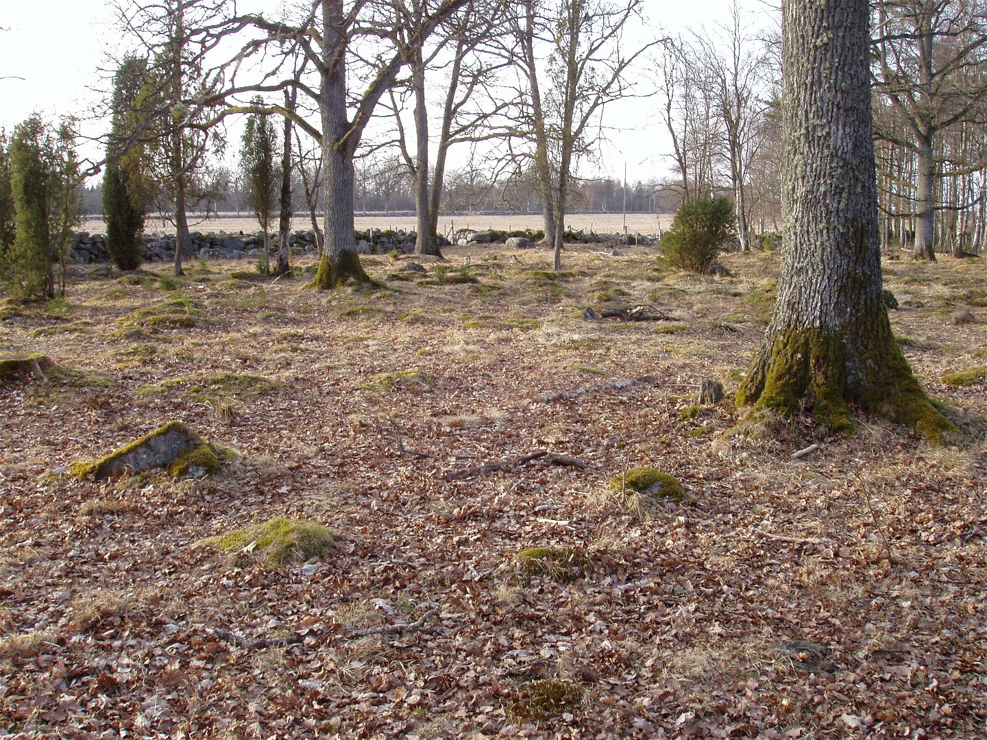
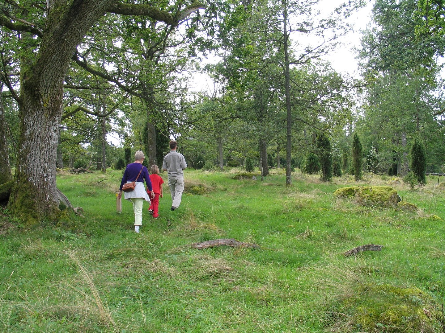
Wander around Osaby Nature Reserve with plenty of biodiversity. These trails take you to the reserve's undiscovered gems. The trails are connected to the reserve's three loops: Hemmaängsslingan, Hagmarksslingan and Sjöslingan. Length and surface vary.
Activities And Facilities
-
Hiking
Accessibility
-
 Near parking
Surface
Varied nature trails
Hills
Flackt
Parking
There is parking near Osaby manor where the reserve parking lot is just west of the road.
Directions
These trails are located within the Osaby Nature Reserve. Osaby is located 15 kilometers south of Växjö.
Contact
Address
Telefon 0470-410 00
Email address
Kontaktcenter
Organization logotype
![]()
Please be aware that some of these texts have been automatically translated.
Questions & Answers
Ask a question to other Naturkartan users.
