-
-
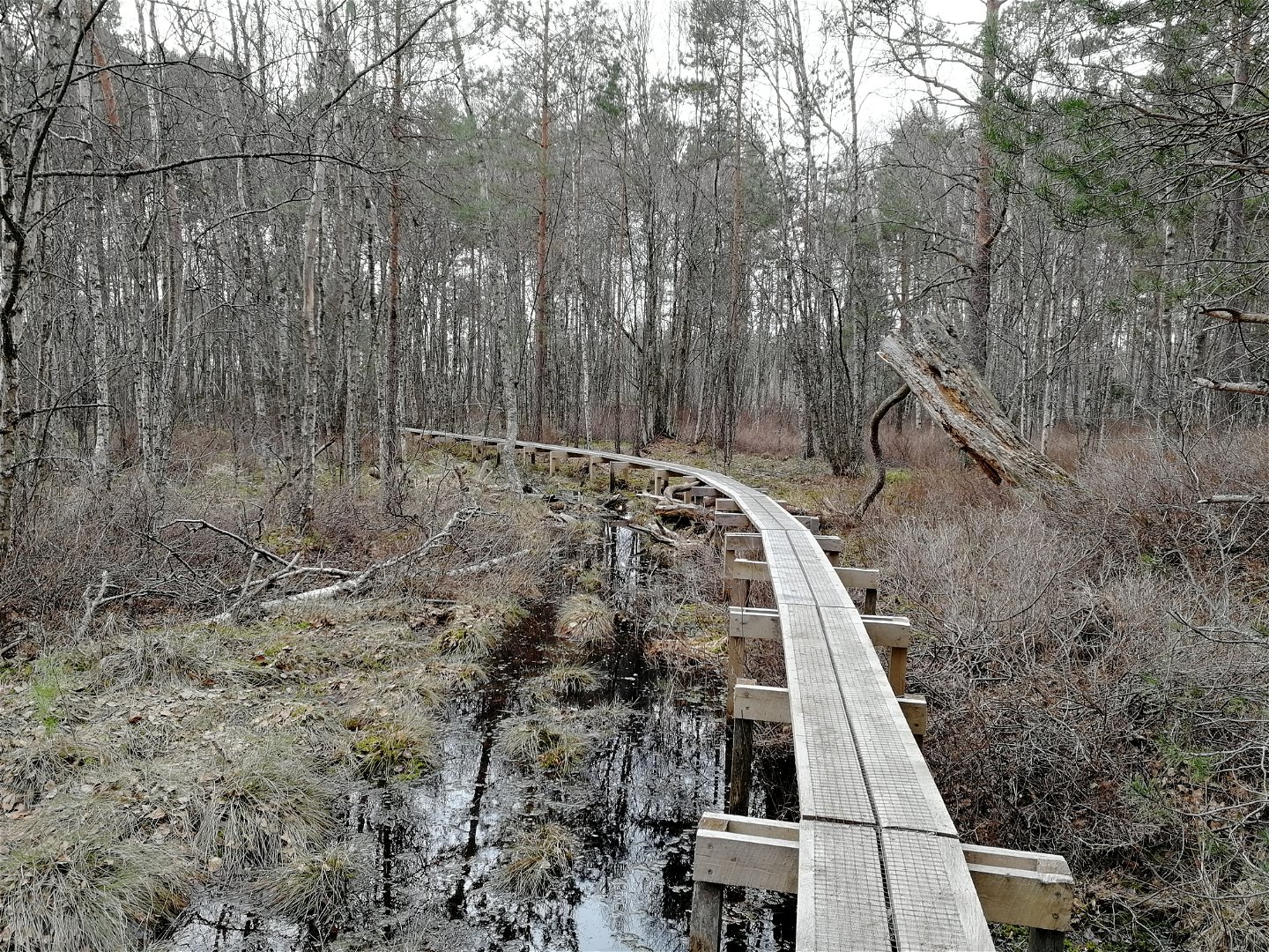
Herrängsmossen -

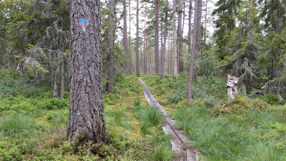
Variation på underlag -
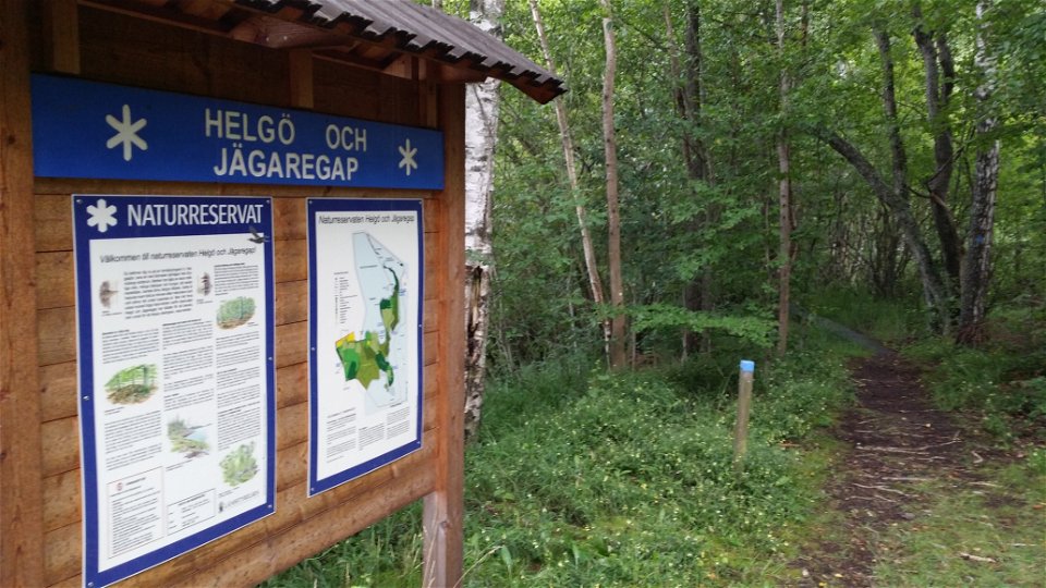
Reservatsinformation -

-
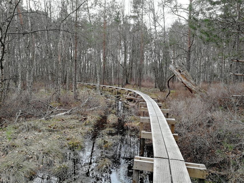
Nya spänger 2021


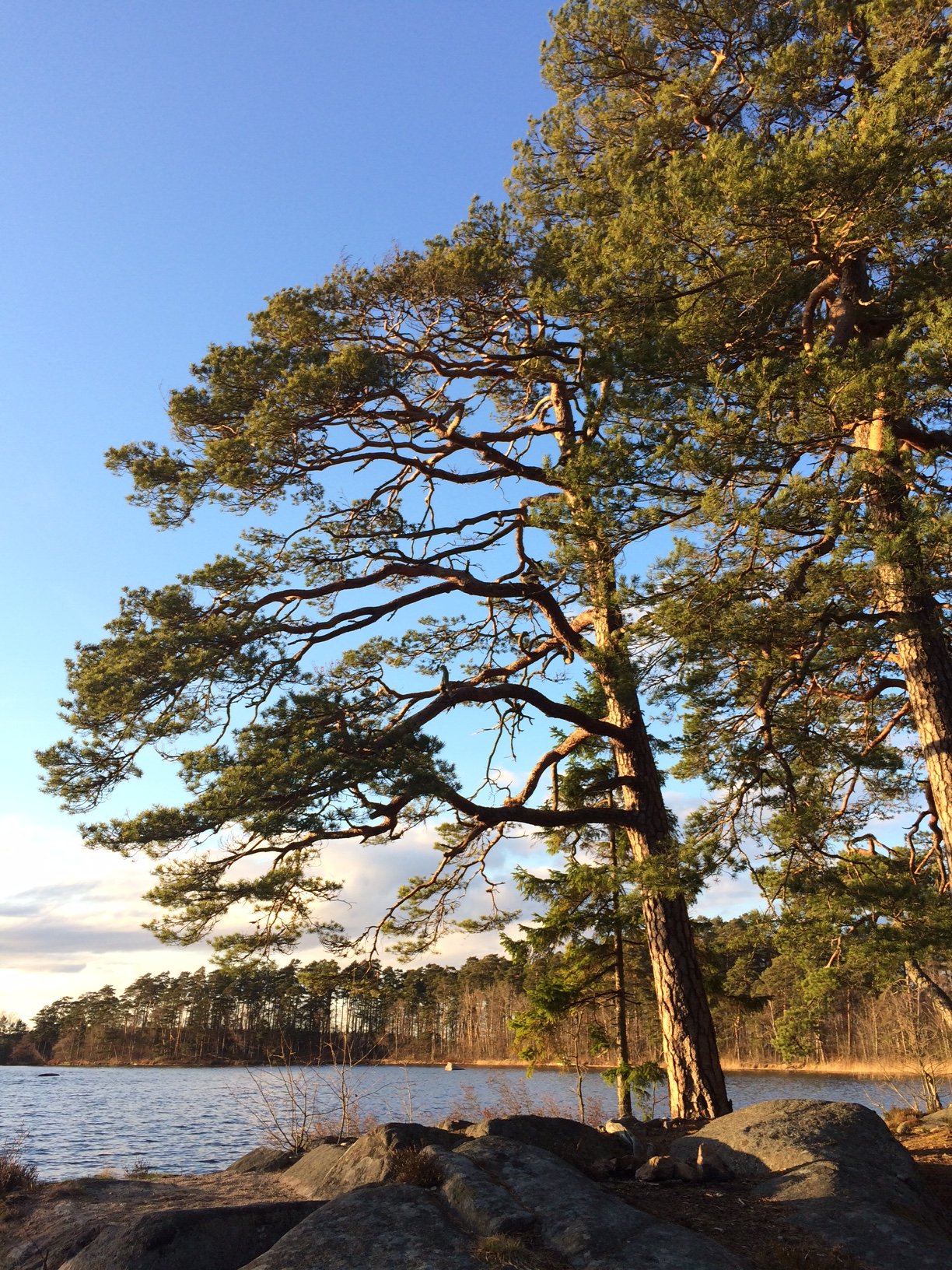

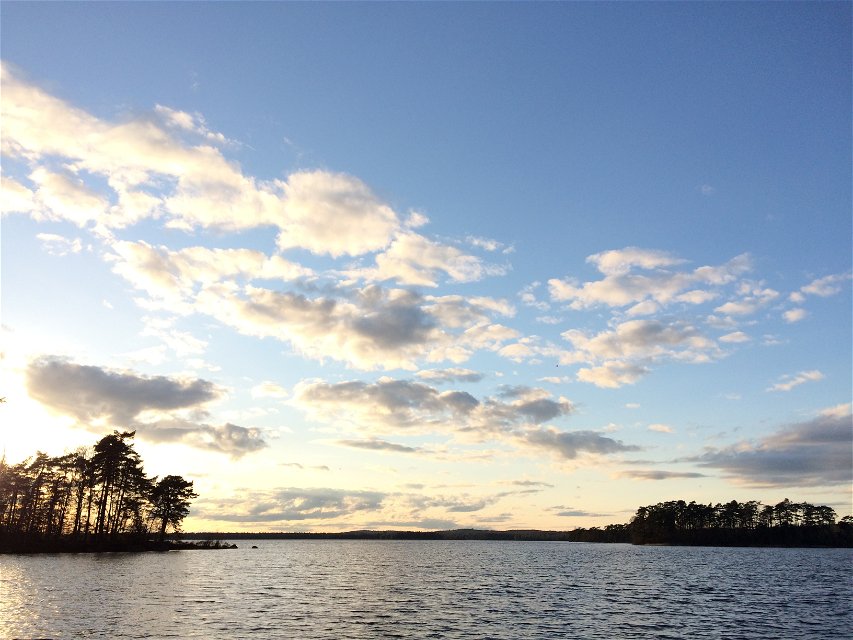
Round Helgö island
Hiking
- County: Kronobergs län
- 6804.01 km away from you
Trail details
- Length 7.0 km
- Difficulty Blue - medium
Actions
Description
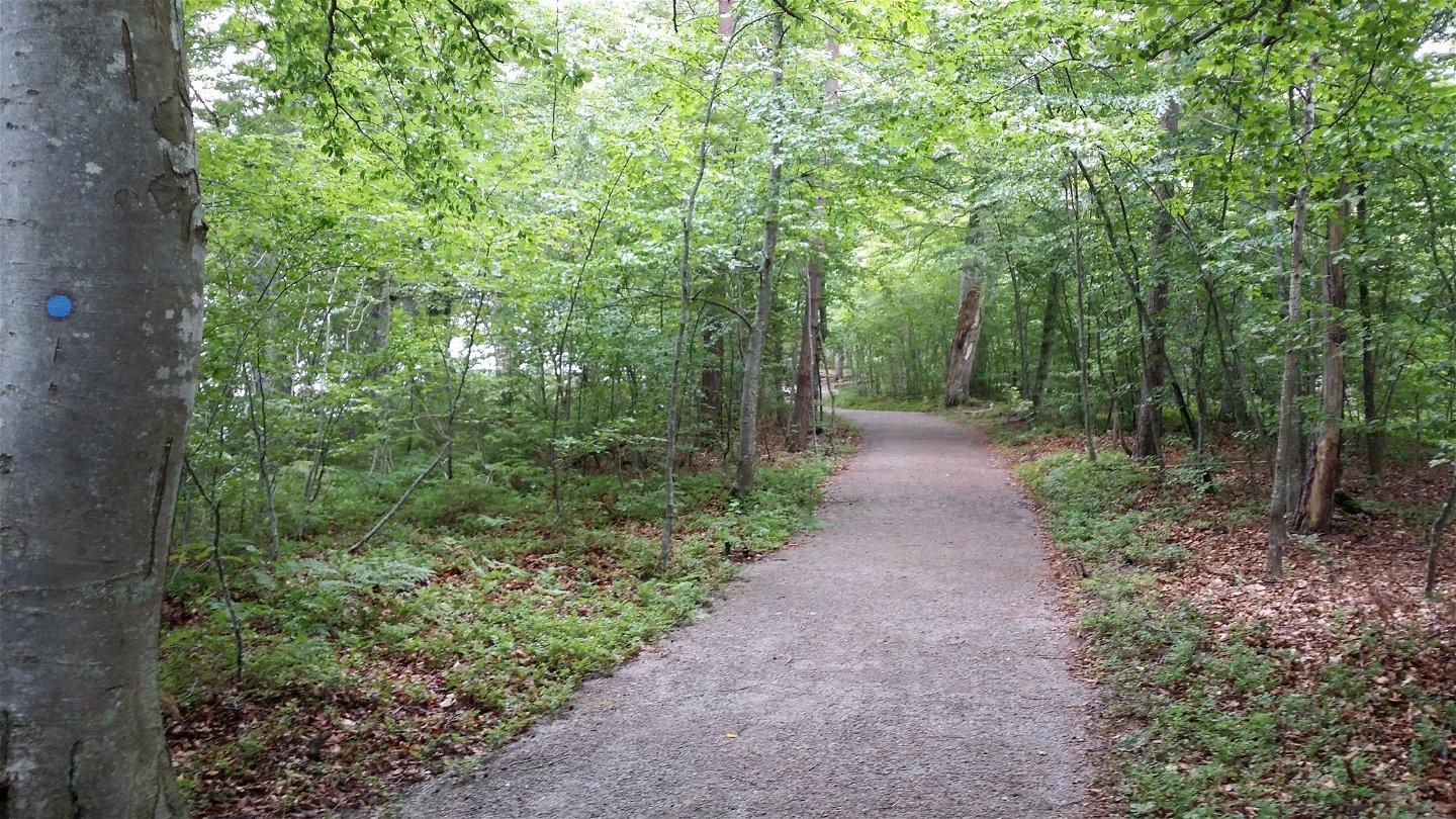
An hiking loop of 7 km that leads you around the entire nature reserve. This trail is a relatively easy one and will take you two hours at a leisurely pace, depending on how often you stop for coffee. If you are practicing trail-running, you should naturally complete this loop faster. Take an opportunity to enjoy the views.
Activities And Facilities
-
Hiking
-
 Trail running
-
 Circular trail
Accessibility
-
 Near parking
Surface
Stig and some spangled sections
Hills
Flat
Parking
Två större grusparkeringar i naturreservatet.
Directions
Helgö is accessible from Öjaby or Växjö airport. Follow the signs to the reserve's parking lot.
Contact
Address
Telefon 0470-410 00
Email address
Kontaktcenter
Organization logotype
![]()
Please be aware that some of these texts have been automatically translated.
Questions & Answers
Ask a question to other Naturkartan users.
