-

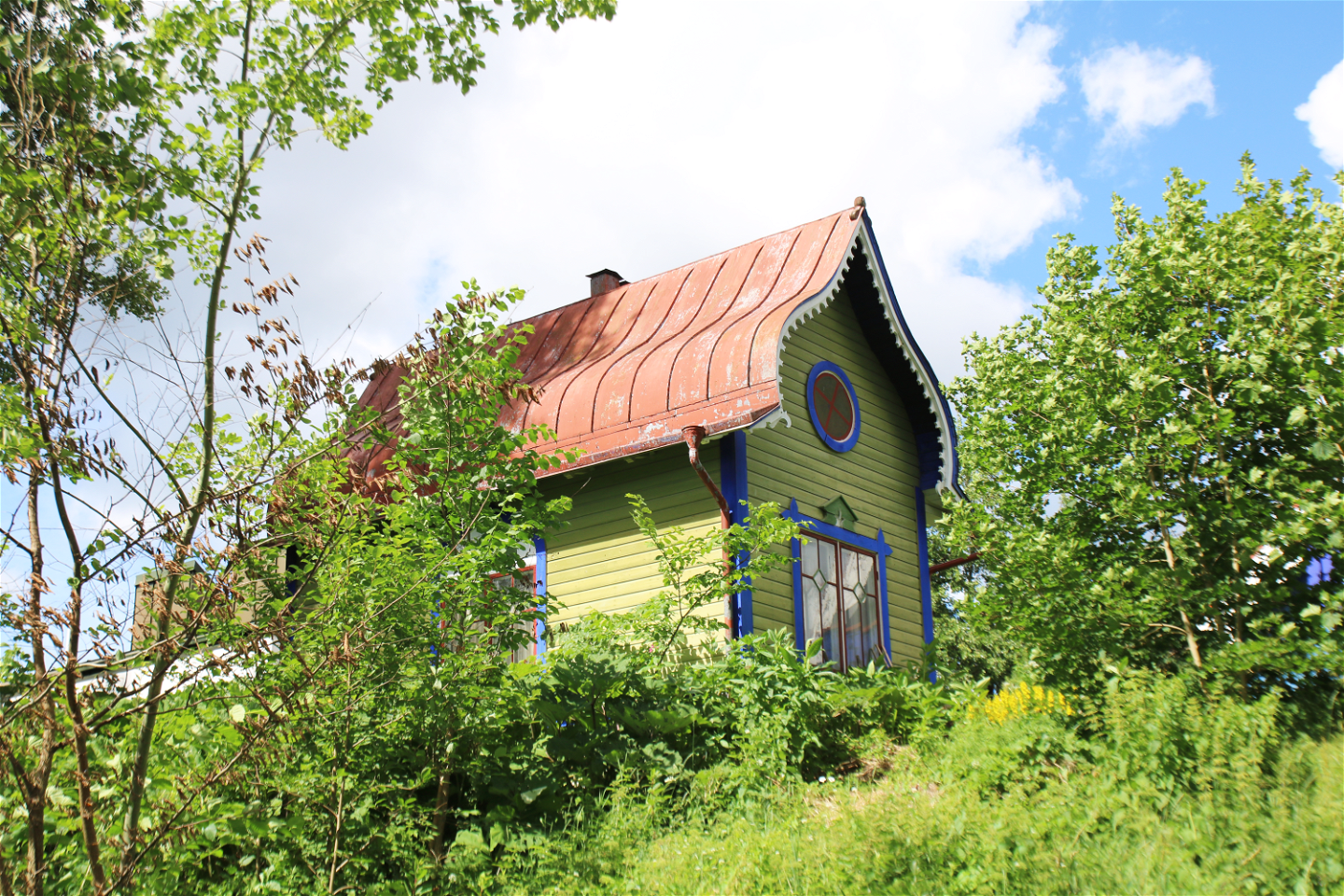
Ljungbergmuseet -

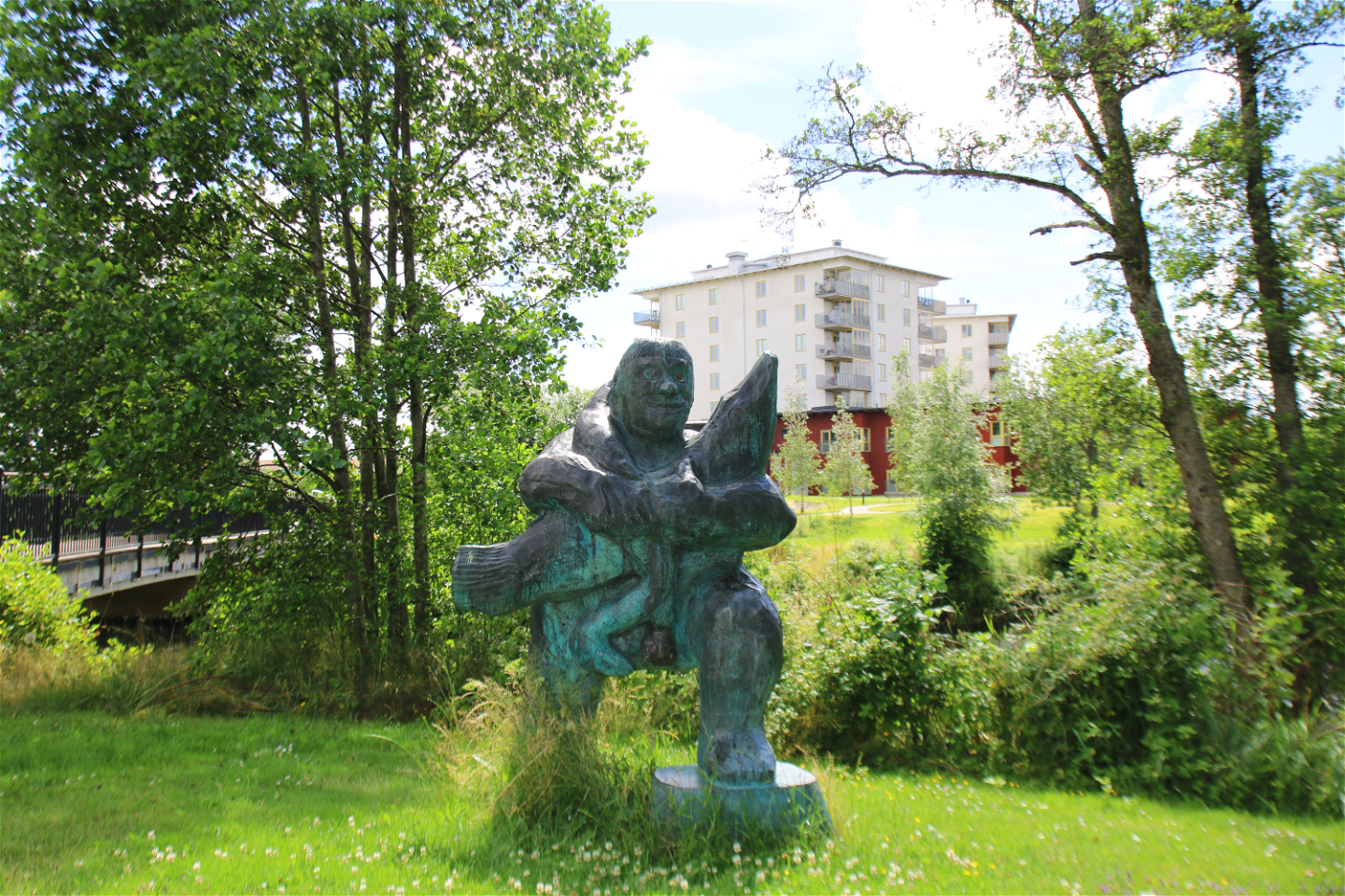
"Ågubben" -
Storytelling table -

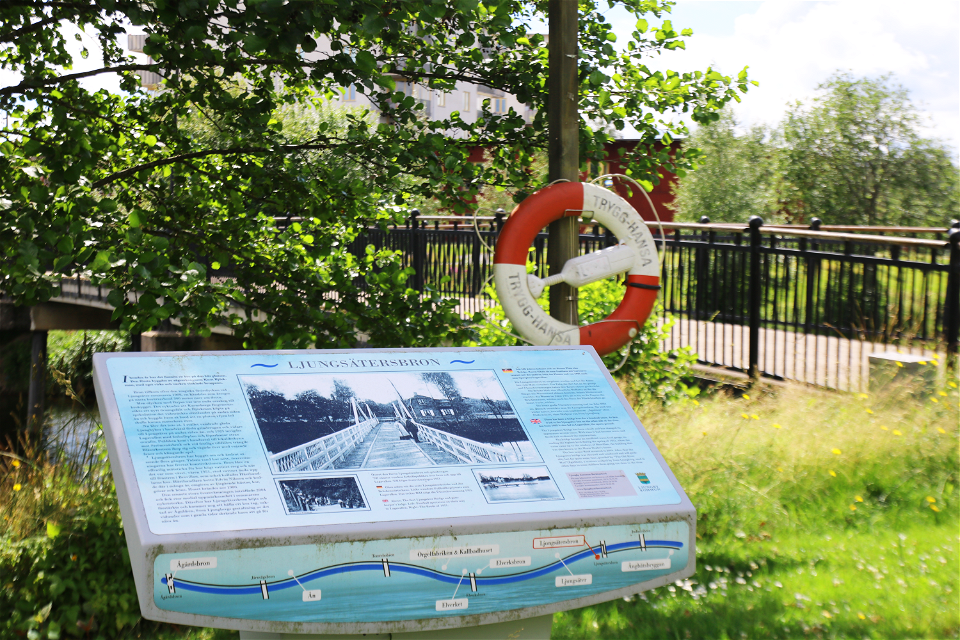
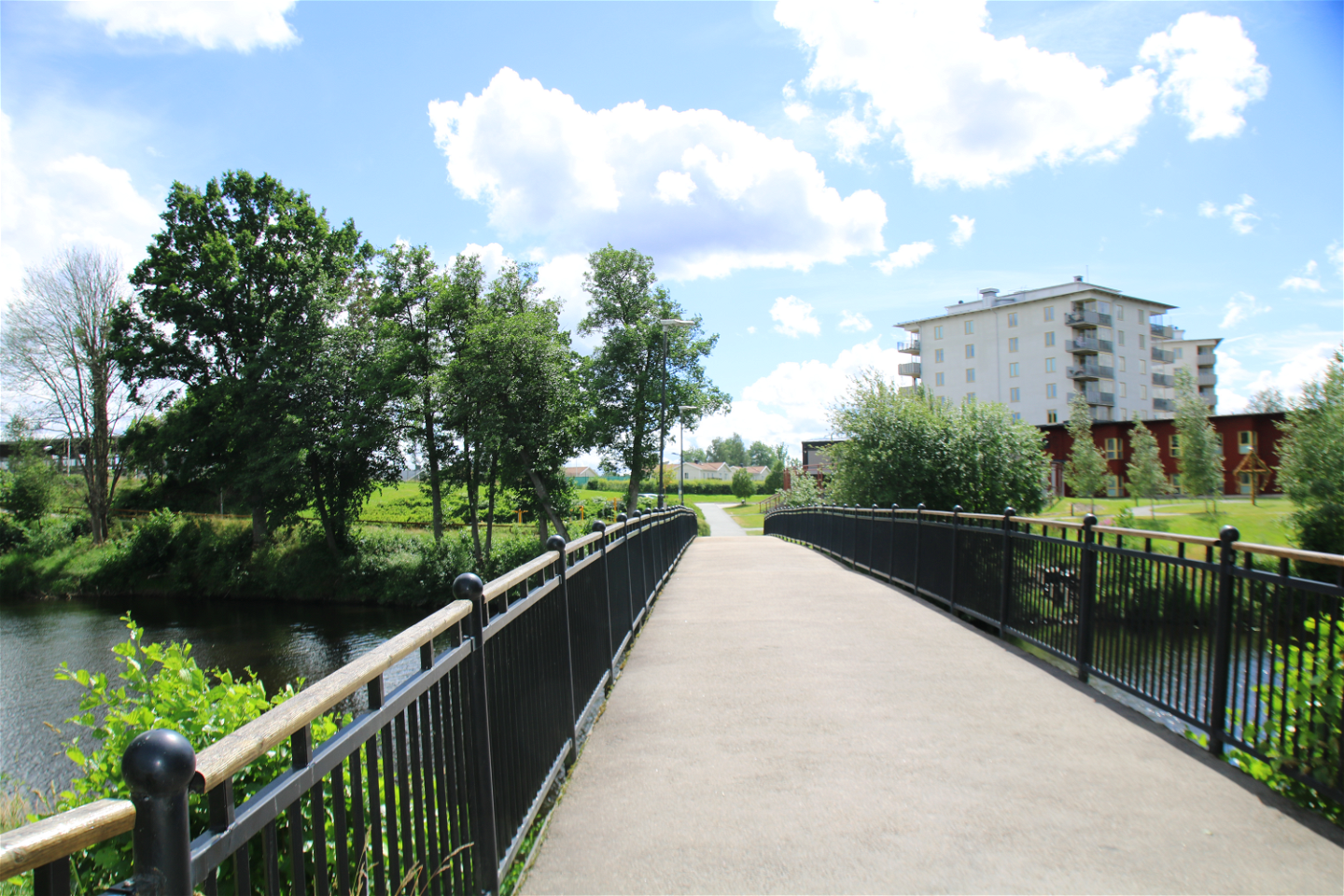
Ljungsätersbron -
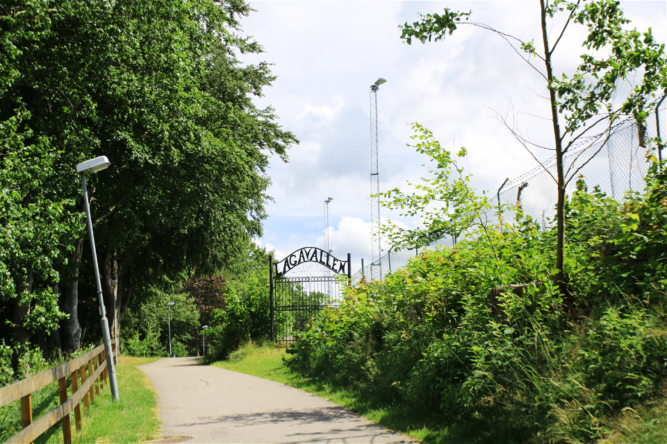
Lagavallen -

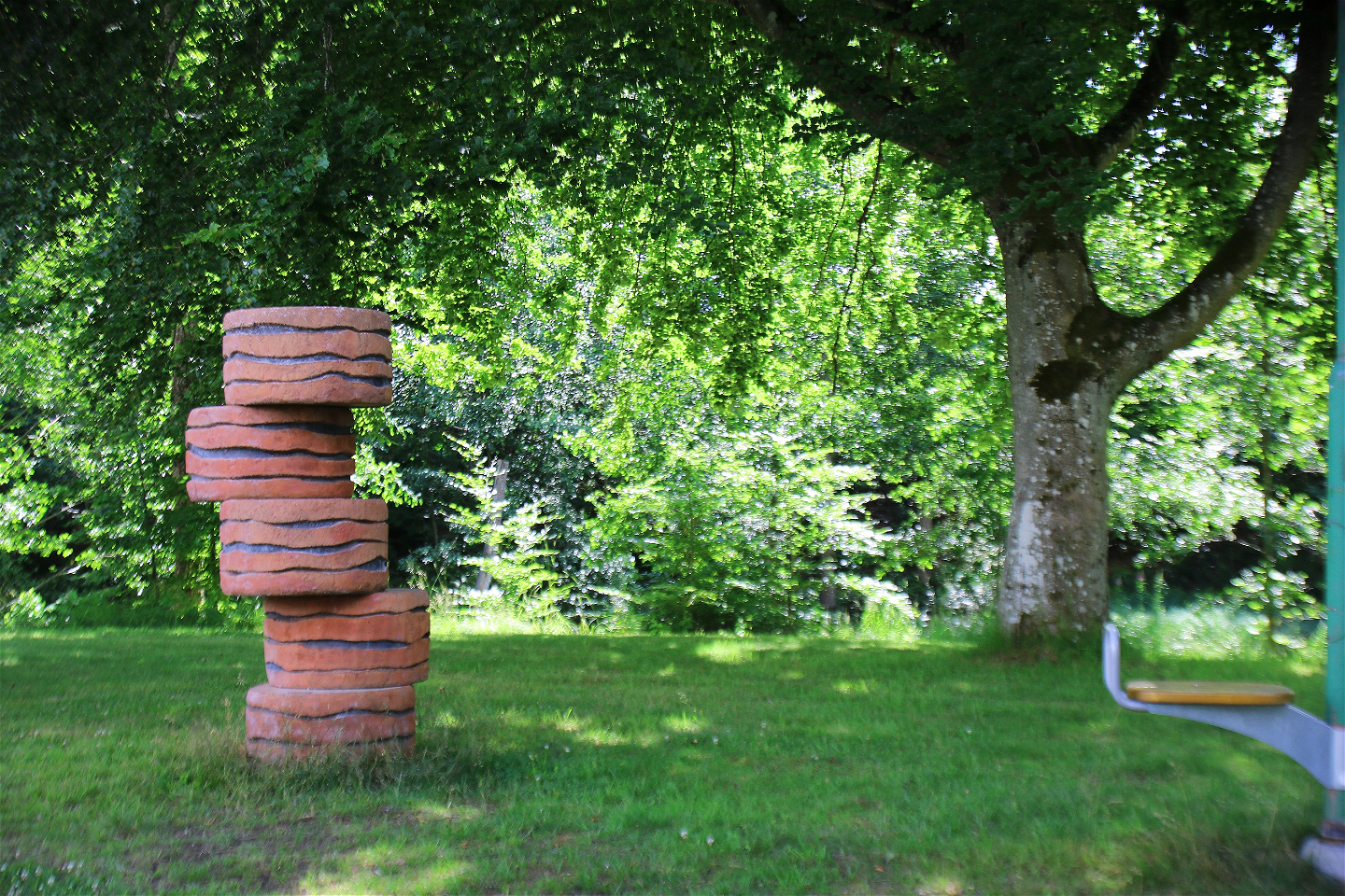
"Betong-ande" -

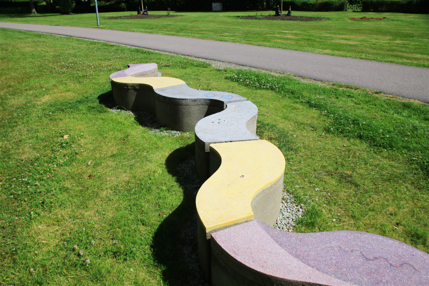
"Våg" -
Trail / seating -
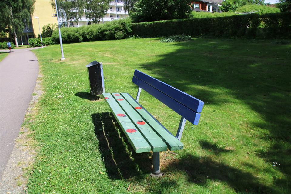
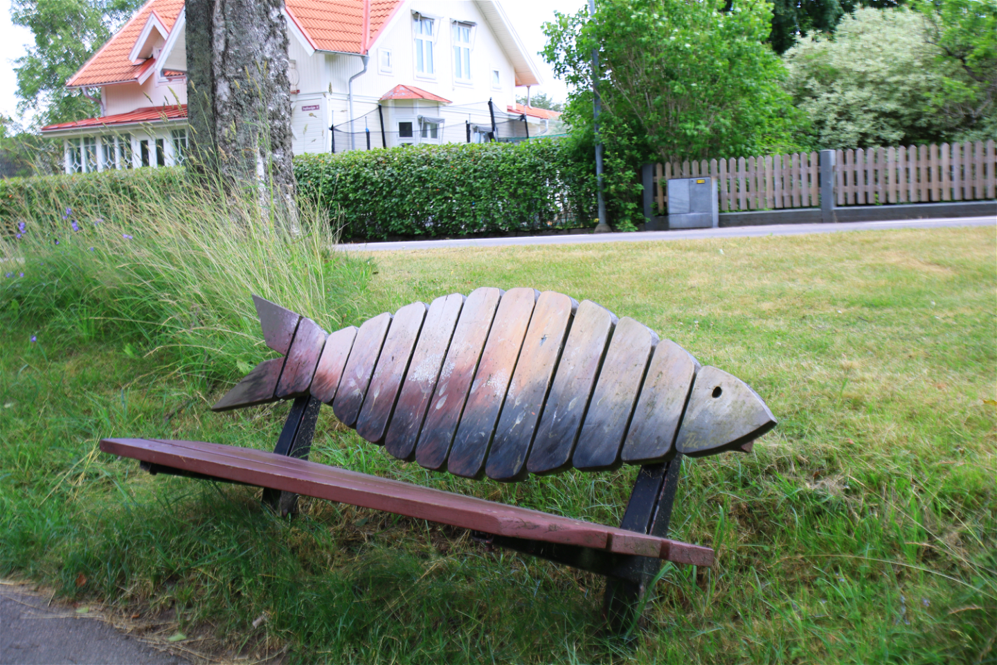
Bench by local artist -
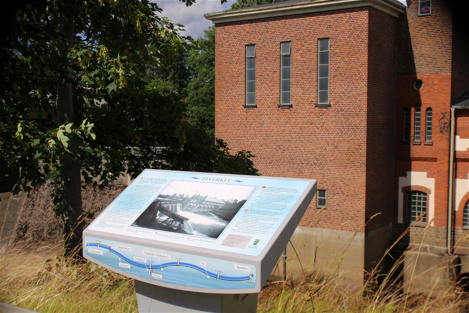
Storytelling table The power plant -

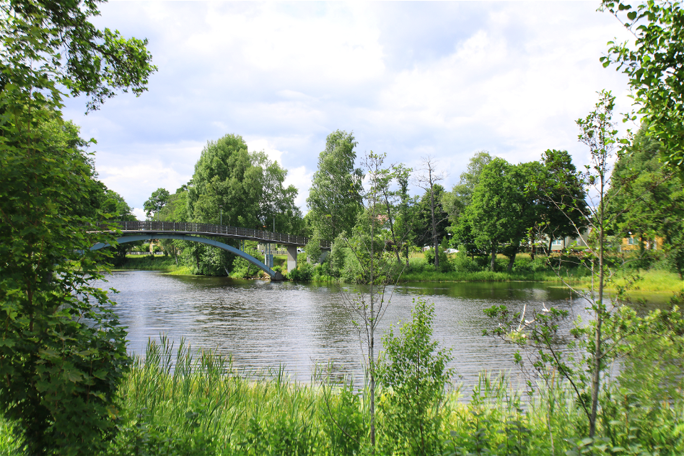
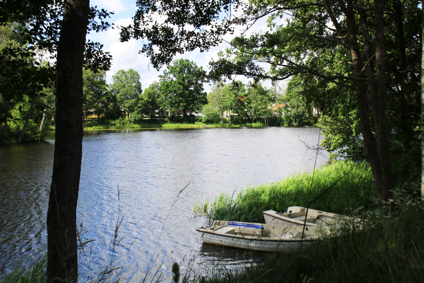
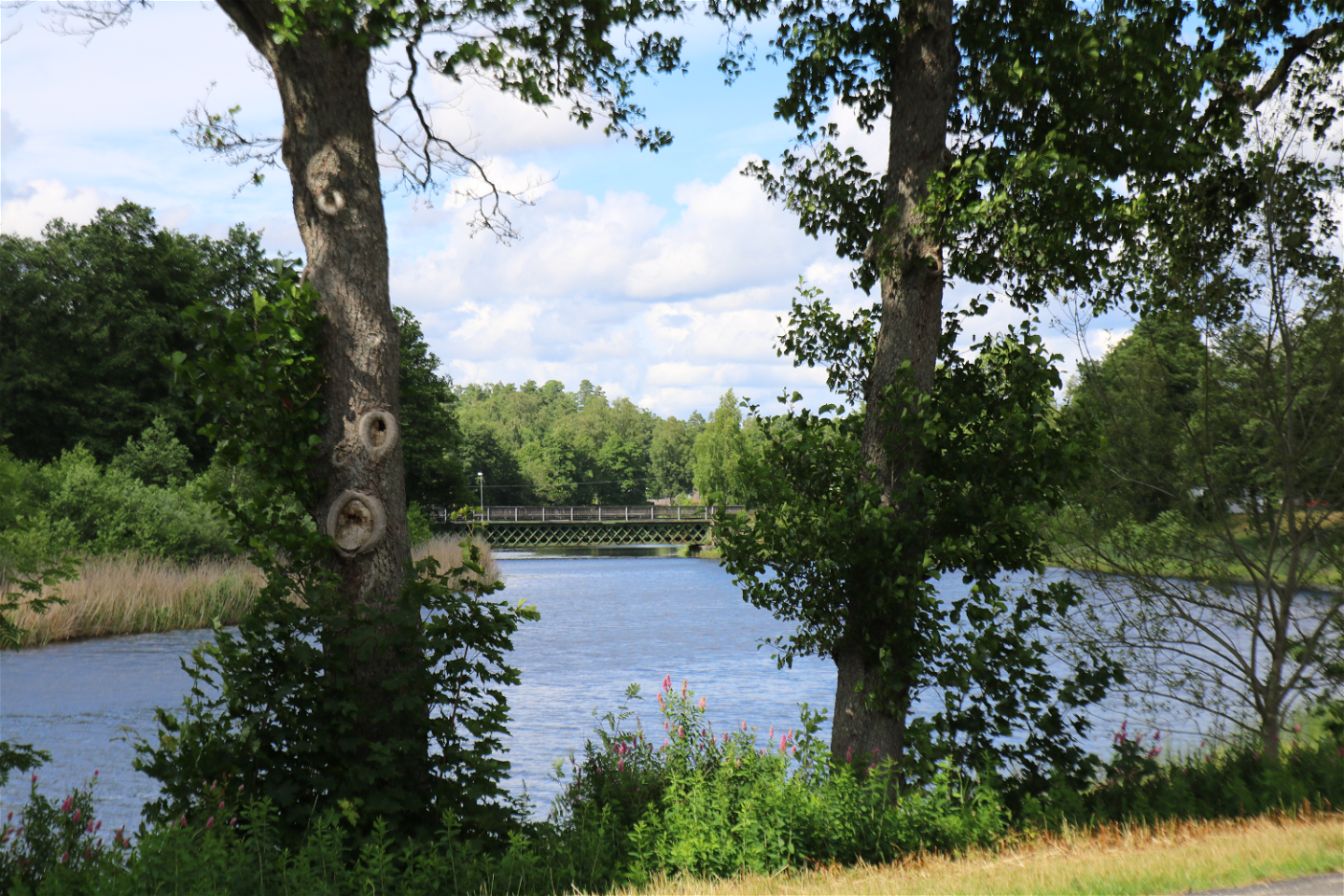
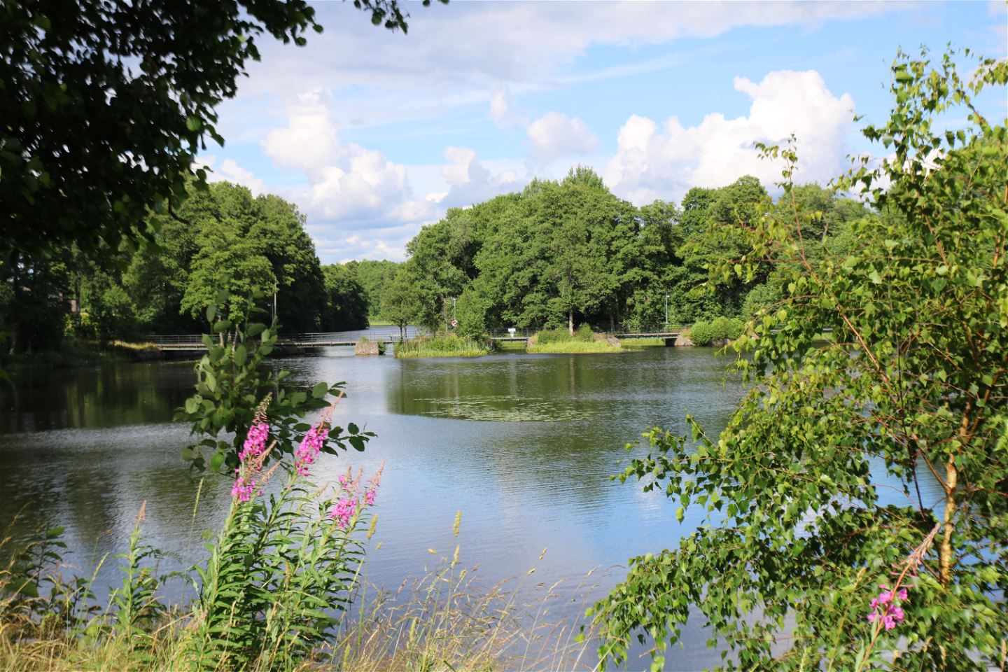
Lagaån -
Tomtebobron / Bananbron -

Järnvägsbron -

Bench by local artist -
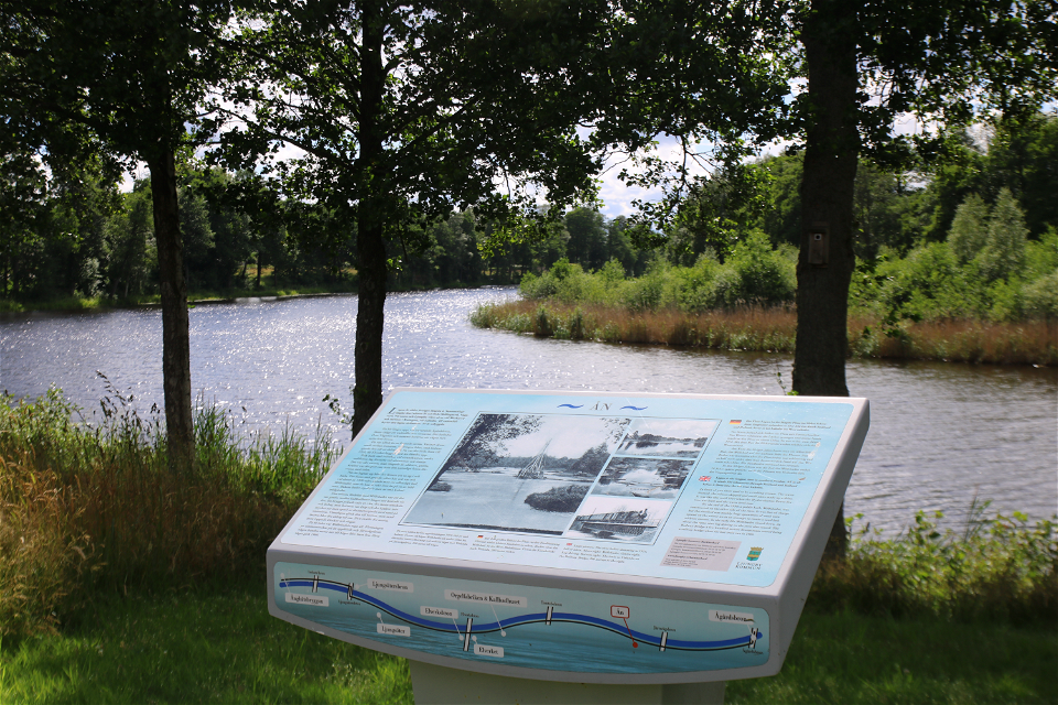
Storytelling table -
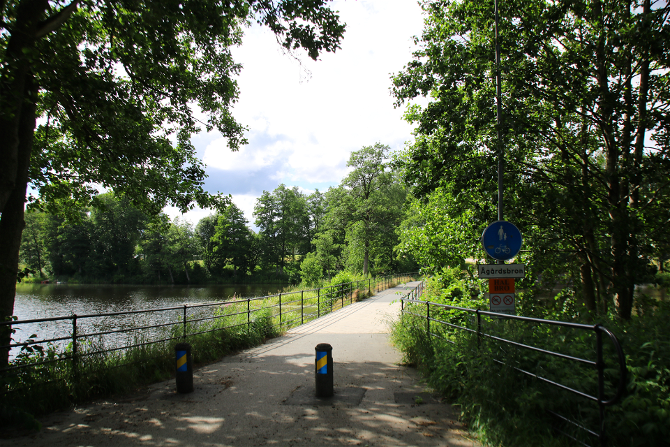
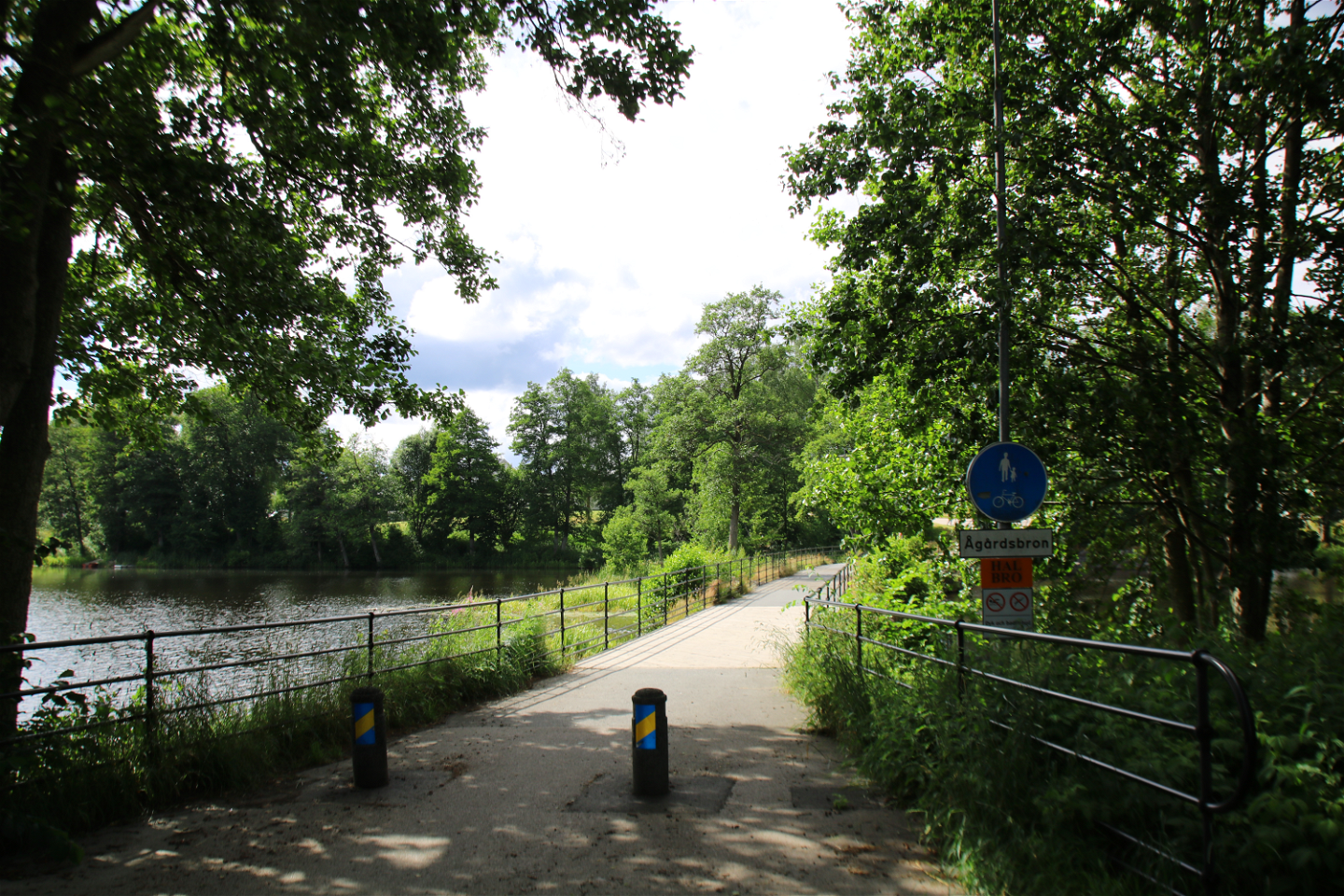
Ågårdsbron -

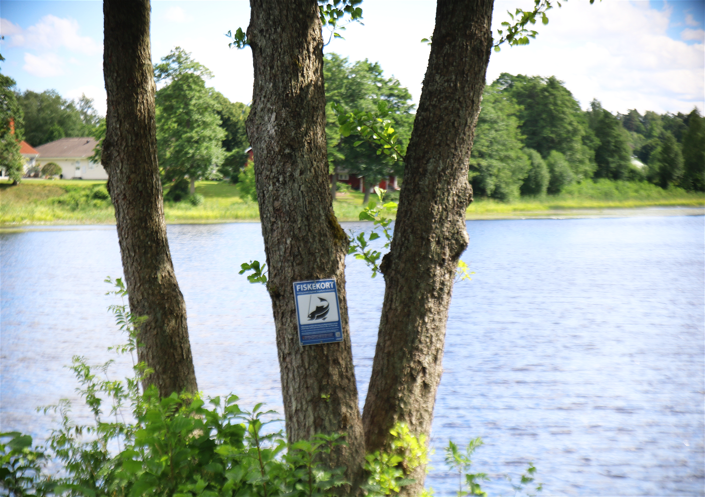
Fishing license -

River -

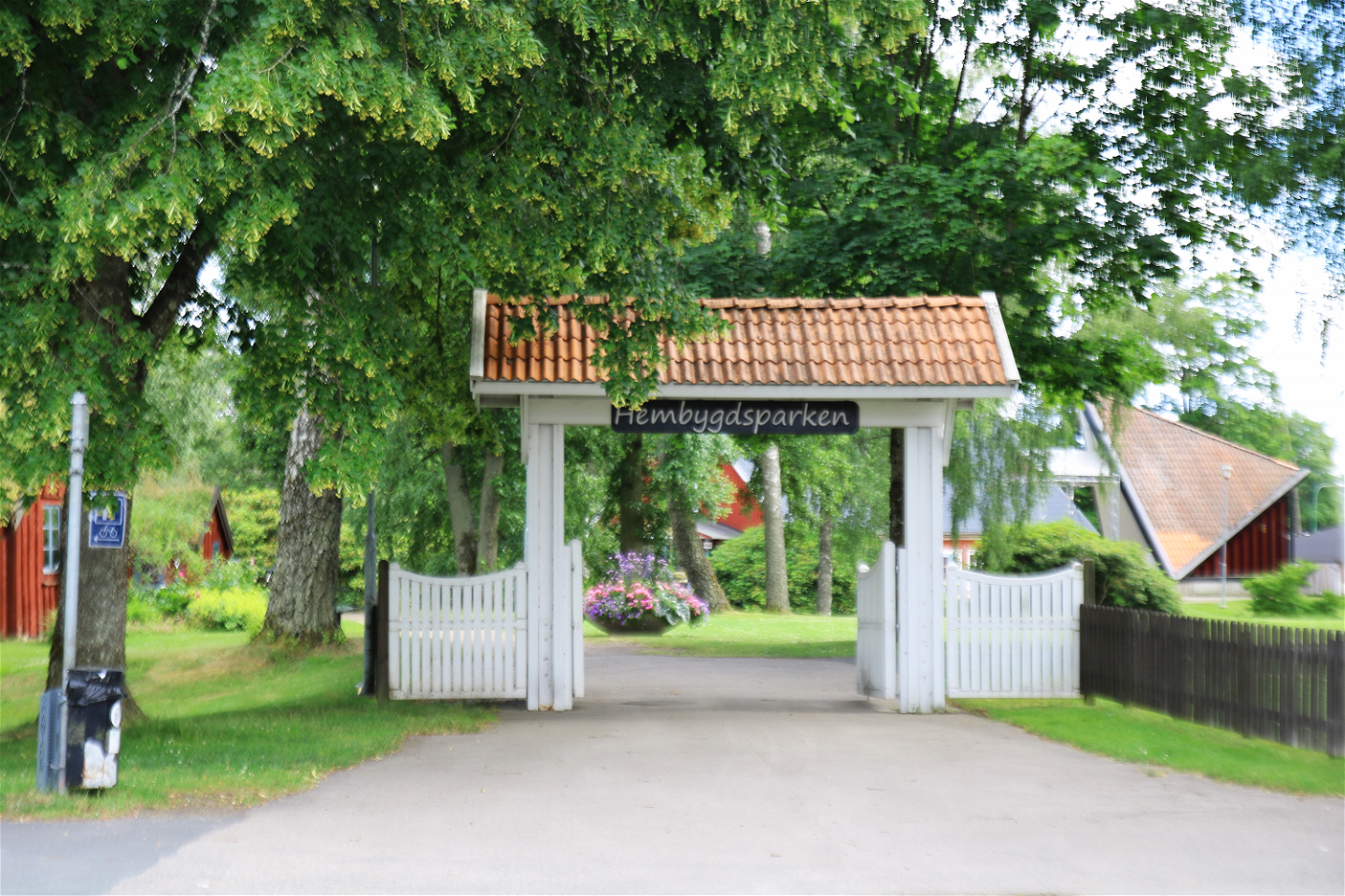
Hembygdsparken


Årundan och Hälsans stig
Hiking
- County: Kronobergs län
- 6767.02 km away from you
Trail details
- Length 6.0 km
Actions
Description
Through the town of Ljungby, the river Lagan meanders with its rippling water. Along the river also stretches the hiking trail Årundan and Hälsans stig with their scenic promenades that lead you through varied environments, artistic decorations and local sights/attractions. Along the 6km long trails, there are also storytelling tables that were inaugurated as early as 2008, where you can read about Ljungby's history.
Activities And Facilities
-
Hiking
-
 Running
-
 Walking
-
 Circular trail
Accessibility
-
 Stroller accessible
Contact
Email address
Organization logotype
![]()
Questions & Answers
Ask a question to other Naturkartan users.
