


Hallaryd walking trail
Hiking
- County: Kronobergs län
- 6783.34 km away from you
Trail details
- Length 3.5 km
- Difficulty Green - simple
Actions
Description
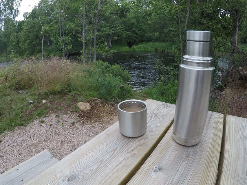
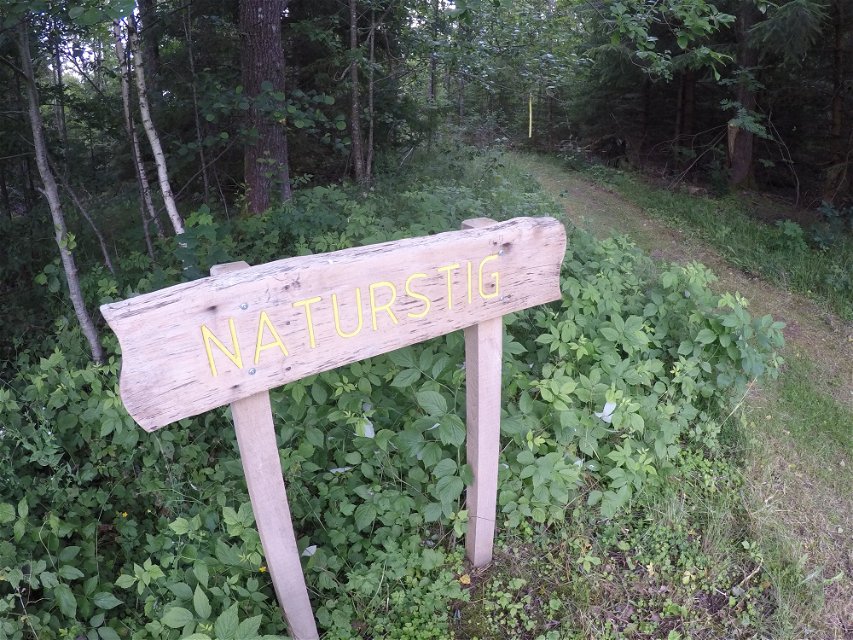
In Hallaryd there is a scenic nature trail that leads the hiker along the Helge river and through forest. Along the loop there are several countertops suitable for a packed lunch. The loop is marked with yellow arrows and marks on the trees so it is easy to find. It is also possible to make a shortcut in order to go down and drink coffee by the water a quickie. Park your car at the football field, Åvallen. Walk next to the football field to find the start of the nature trail.
The stretch is interesting for the fisherman, and here is precious fish for the enthusiast. Just do not forget to buy a fishing license, which is done digitally via ifiske.se (see link).
This path with its facilities has been implemented in a collaboration between Hallaryd Heritage Society, Älmhult Municipality, Helge å Model Forest and IKEA and the landowner with support from the County Administrative Board's funds for local nature conservation initiatives, LONA.
Activities And Facilities
-
Hiking
Contact
Email address
Älmhults turistinformation
Questions & Answers
Ask a question to other Naturkartan users.
