-
-
-
-
-

Photo: Lina Jakobsson -

-

-
-

-

-


Ljungnäsleden
Circular trail
- County: Kalmar län och Öland
- 6896.68 km away from you
Trail details
- Length 8.8 km
Actions
Description
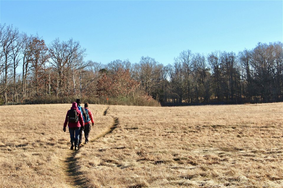
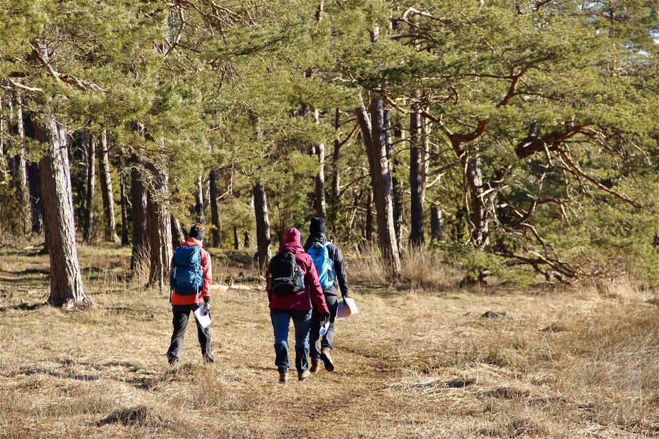
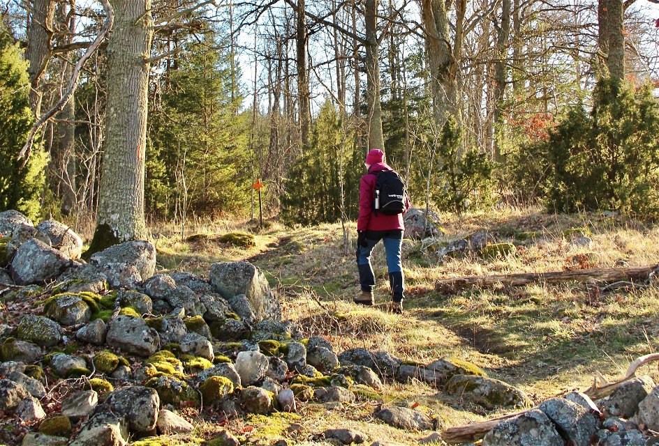
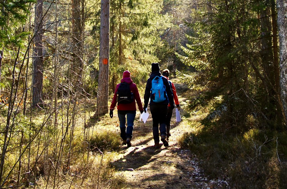
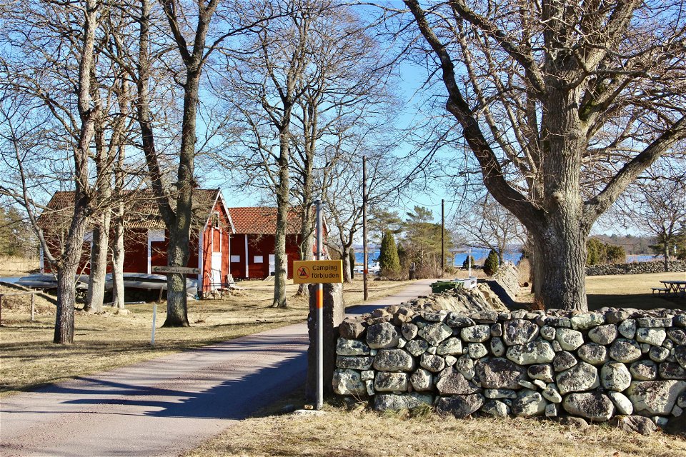
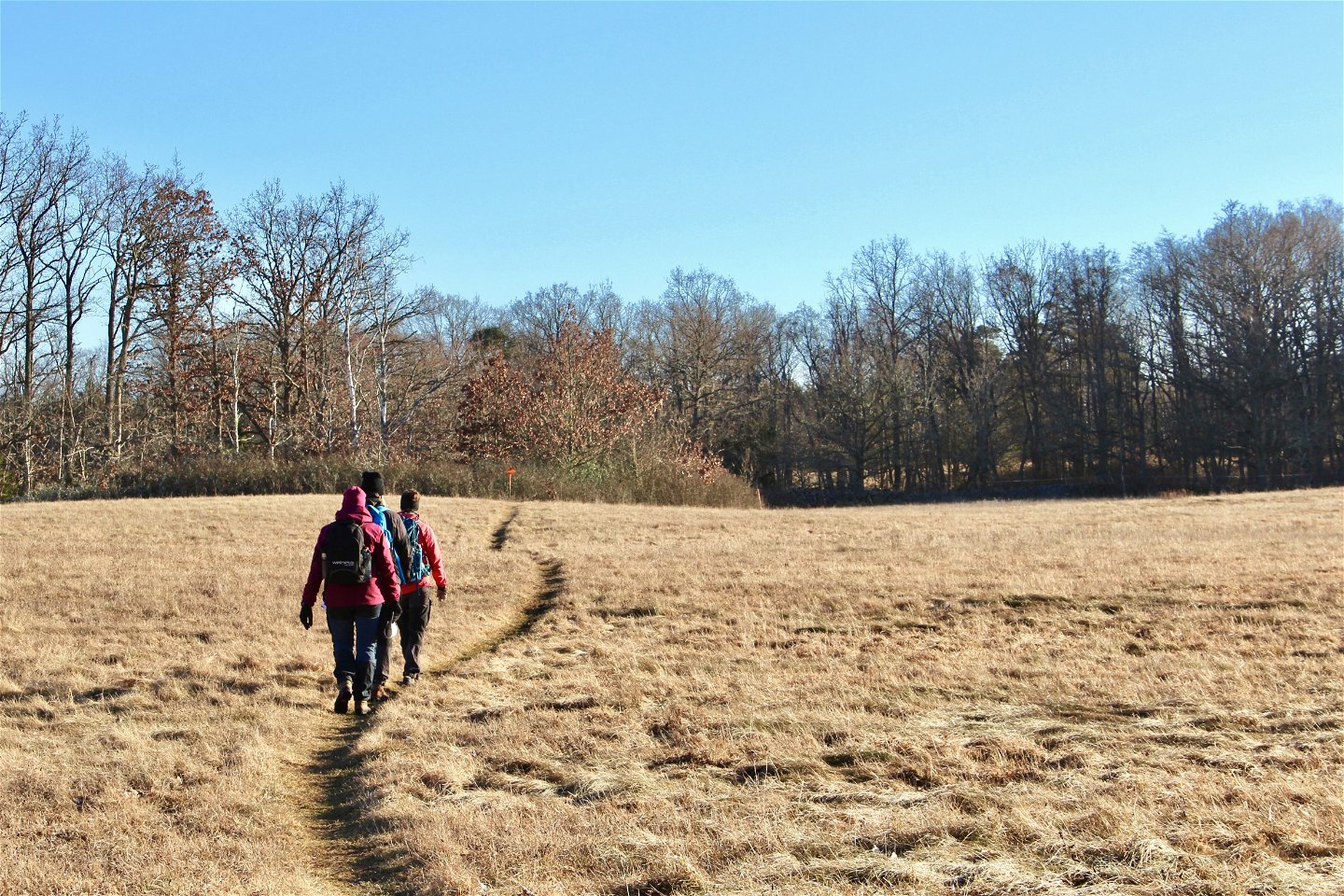
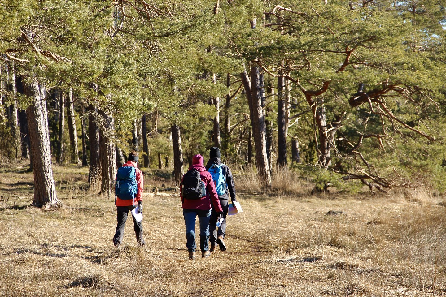
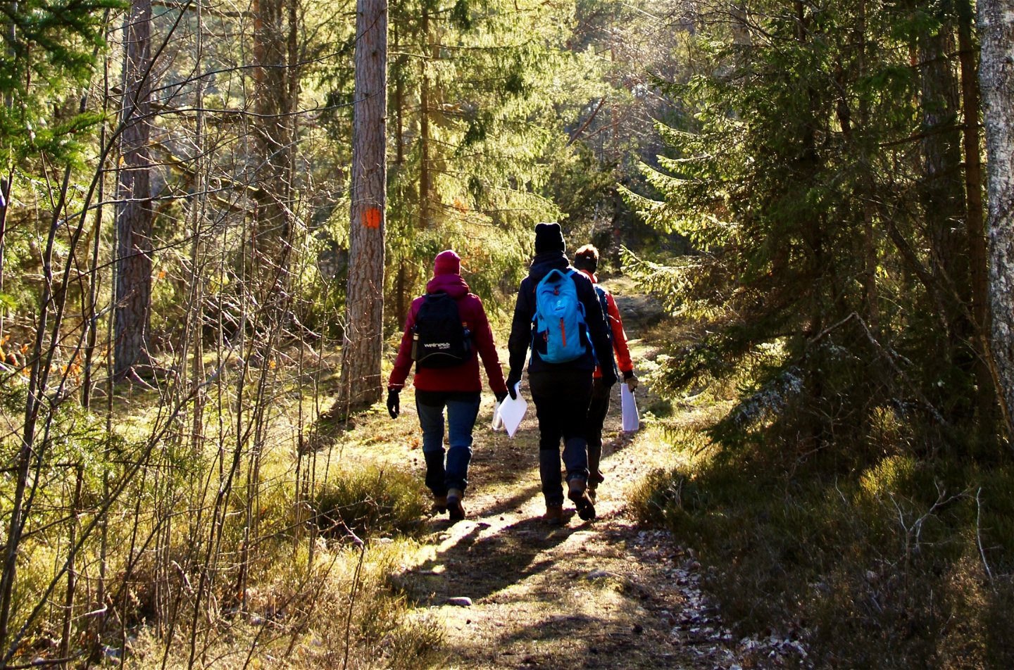
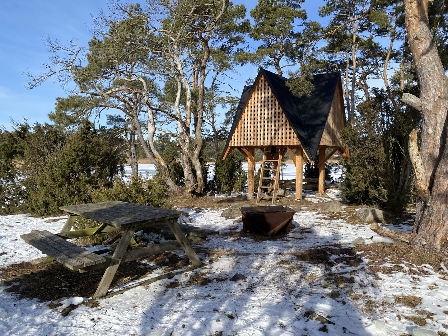
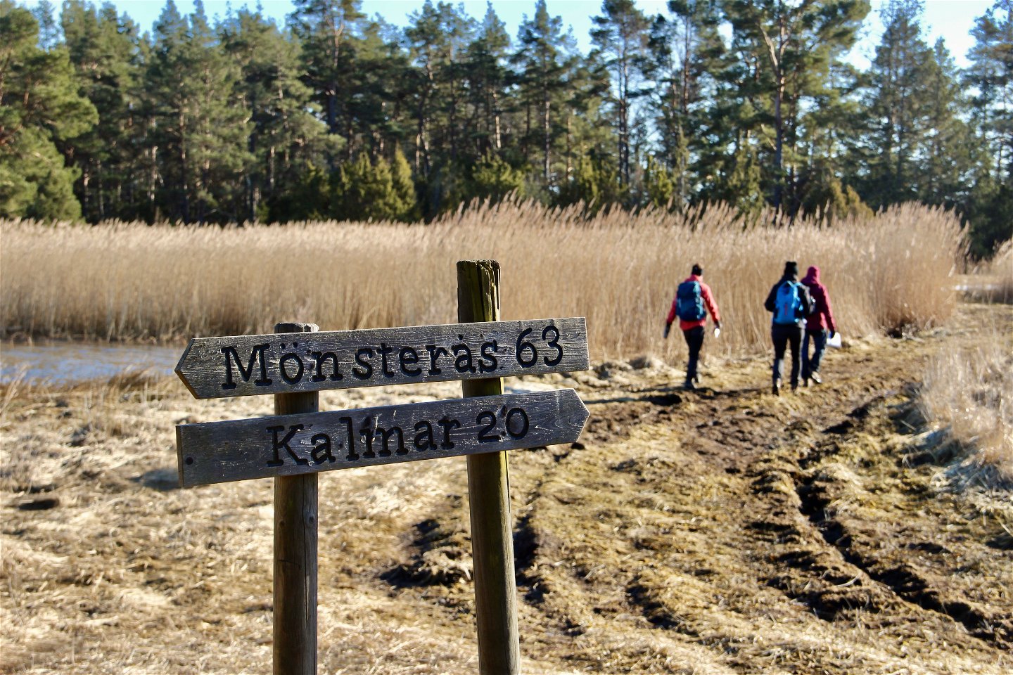
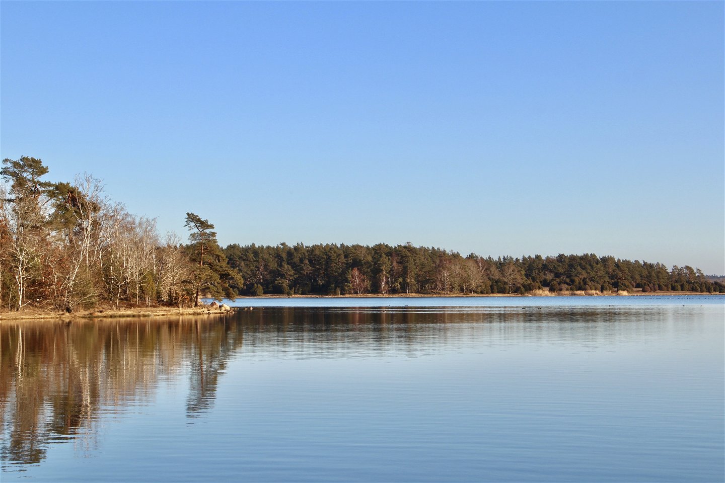
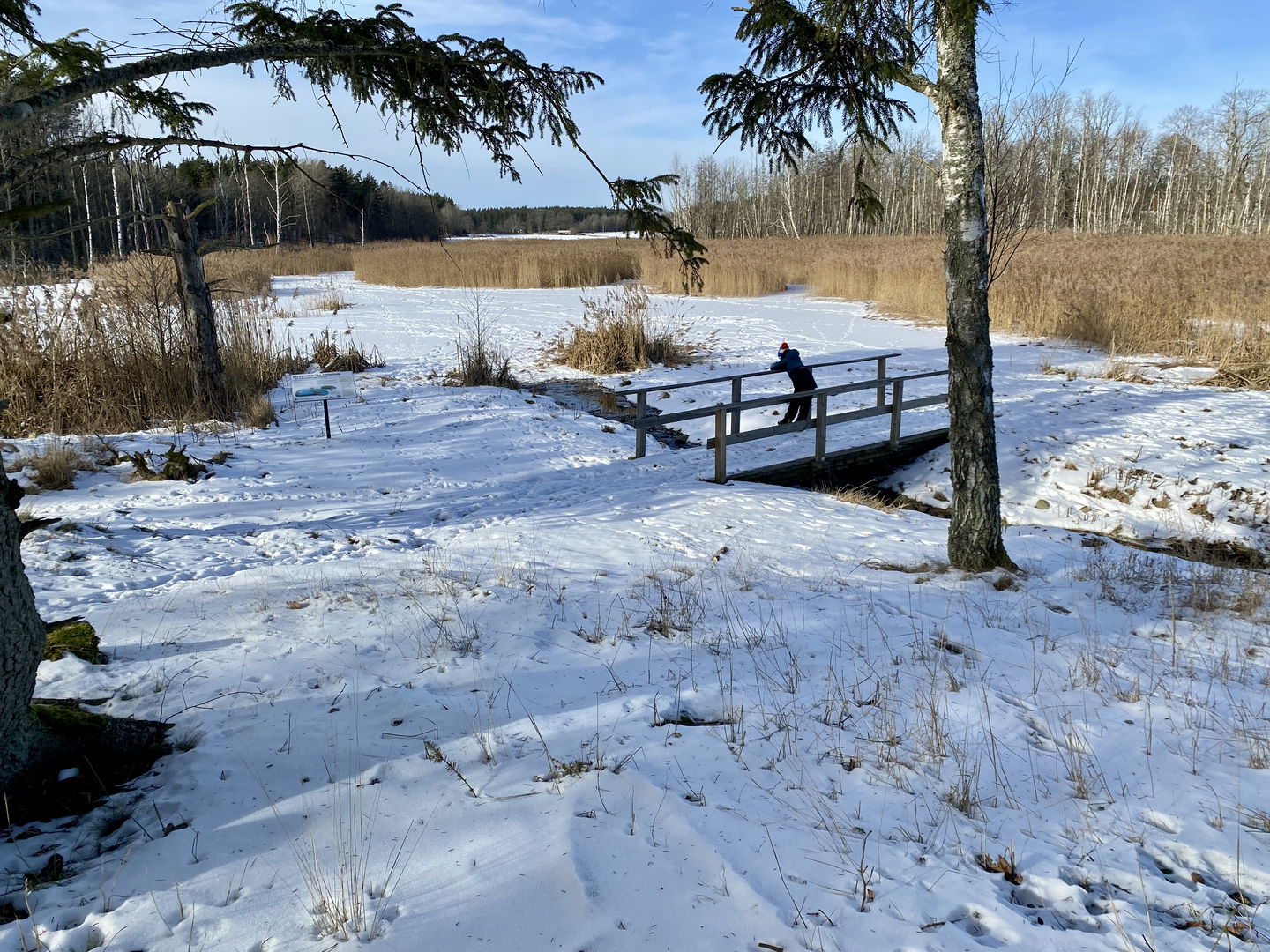
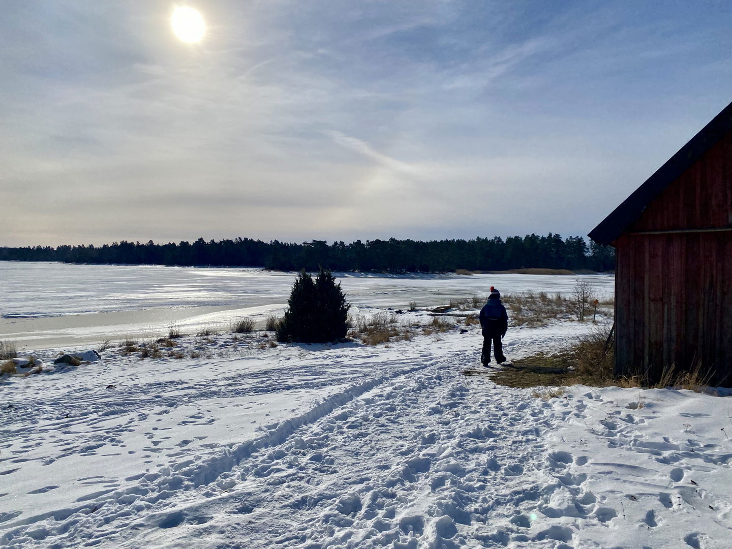
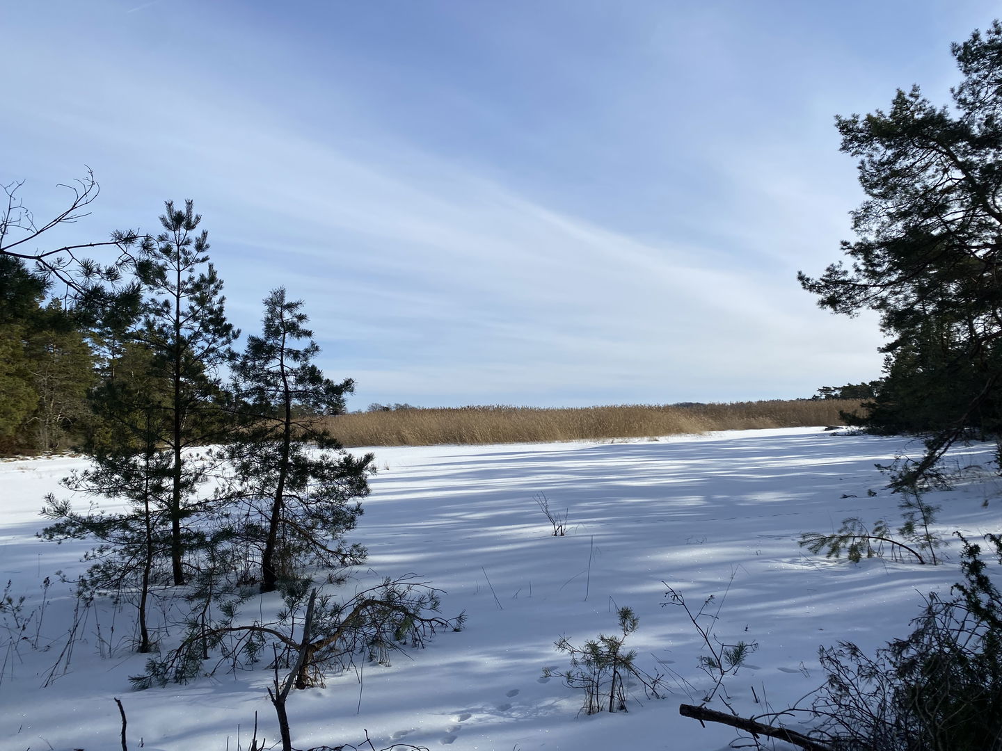
A circular trail of about 10 km in beautiful and varied terrain. The hiking trail offers beautiful coastal views, forest trails, stone cairns, footbridges and much more. Here is the opportunity to take a well-deserved break at one of the various barbecue areas and shelters along the trail.
**Accessibility: Accessible surface for wheelchairs for parts of the route. Just south of the bathing area, the paved road ends and then turns into a path. After that, there is no accessible surface until after the wetland (at the windbreak in Törnerum) where the surface again varies between gravel road and paved road.
Activities And Facilities
-
 Hiking
-
 Walking
-
Circular trail
Contact
Email address
Eva-Lena Larsdotter
Please be aware that some of these texts have been automatically translated.
Questions & Answers
Ask a question to other Naturkartan users.
