Teknisk uppgradering av Naturkartan måndag morgon

På måndag morgon driftsätter vi en stor teknisk uppgradering av Naturkartan som vi arbetat med i 18 månader. Uppgraderingen ger en snabbare och mer stabil plattform och lägger grunden för de nya funktioner som kommer i Naturkartan version 3 under hösten. Det kan förekomma kortare driftstörningar under början av veckan men vi gör vårt bästa för att lösa alla problem som uppstår. Hjälp oss gärna genom att tipsa oss på emil@outdoormap.com - om något inte fungerar som det skall!

Hiking

John Bauerleden stage JB2 Råbyskogen - Bunn - Part of Smålandsleden

Hiking

0 of 5 stars — (see reviews)

Trail details

  • Length 14.9 km
  • Time 4 h
  • Difficulty Blue - medium

Actions

Description

John Bauerleden stage 2 starts/ends at Råbyskogen nature reserve. There is parking and a toilet here, which is managed by the County Administrative Board of Jönköping. There is a circular trail of about 2 km through the nature reserve and you can also visit Hägnen, which is an old croft that remains as it was left when the brothers who lived there moved out.

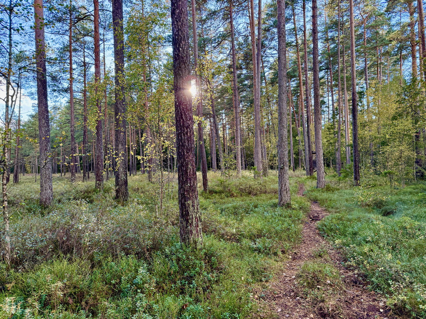
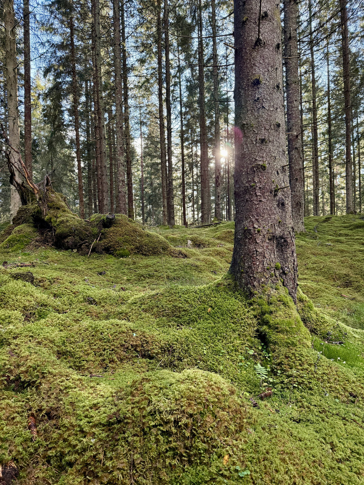
On this stage you walk through a mixed nature on forest roads, paths and some slightly larger paved roads. Along the stage there is a shelter.

At the stage finish/start in Bunn after about 15 km, there is access to accommodation, drinking water and swimming.

Get here by public transport

Activities And Facilities

  • Hiking Hiking

Downloads

Contact

Email address

smalandsleden@rjl.se

Questions & Answers

Ask a question to other Naturkartan users.

Reviews

Naturkartan

Naturkartan

Open this in the app