Teknisk uppgradering av Naturkartan måndag morgon

På måndag morgon driftsätter vi en stor teknisk uppgradering av Naturkartan som vi arbetat med i 18 månader. Uppgraderingen ger en snabbare och mer stabil plattform och lägger grunden för de nya funktioner som kommer i Naturkartan version 3 under hösten. Det kan förekomma kortare driftstörningar under början av veckan men vi gör vårt bästa för att lösa alla problem som uppstår. Hjälp oss gärna genom att tipsa oss på emil@outdoormap.com - om något inte fungerar som det skall!

Hiking

Höglandsleden stage HÖ20 Hok - Byarum - Part of Smålandsleden

Hiking

0 of 5 stars — (see reviews)

Trail details

  • Length 15.4 km
  • Time 3 h 50 min
  • Difficulty Blue - medium

Actions

Description

At Hooks Herrgård there is a trail entrance that can take you towards Byarum or Tomtabacken.

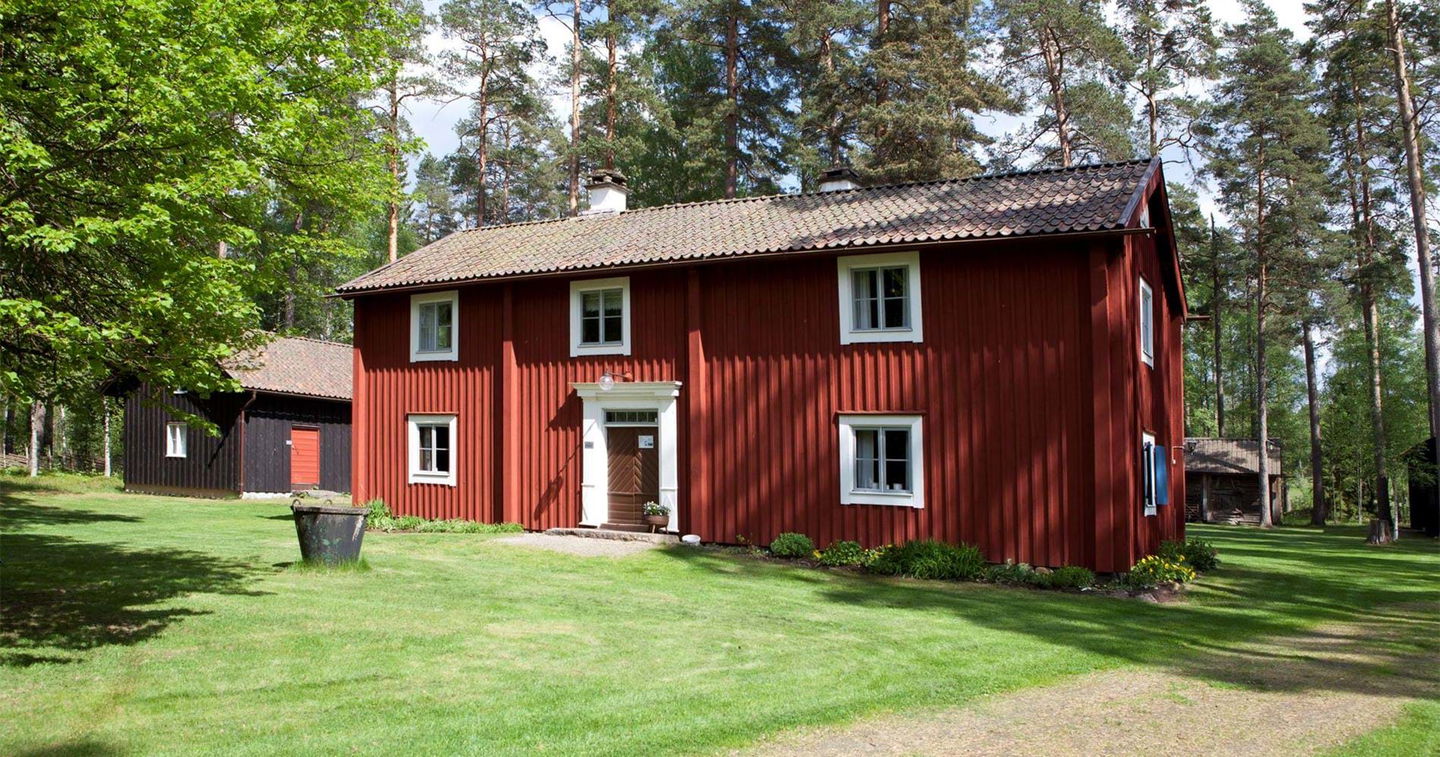
Hooks Herrgård is beautifully situated by the lake and there is a well-reputed golf course, SPA and accommodation.

If you are not looking for this type of accommodation, there is a newly built shelter at Sandsjö's bathing place a few kilometers towards Byarum.

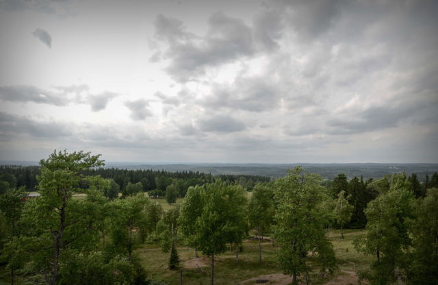
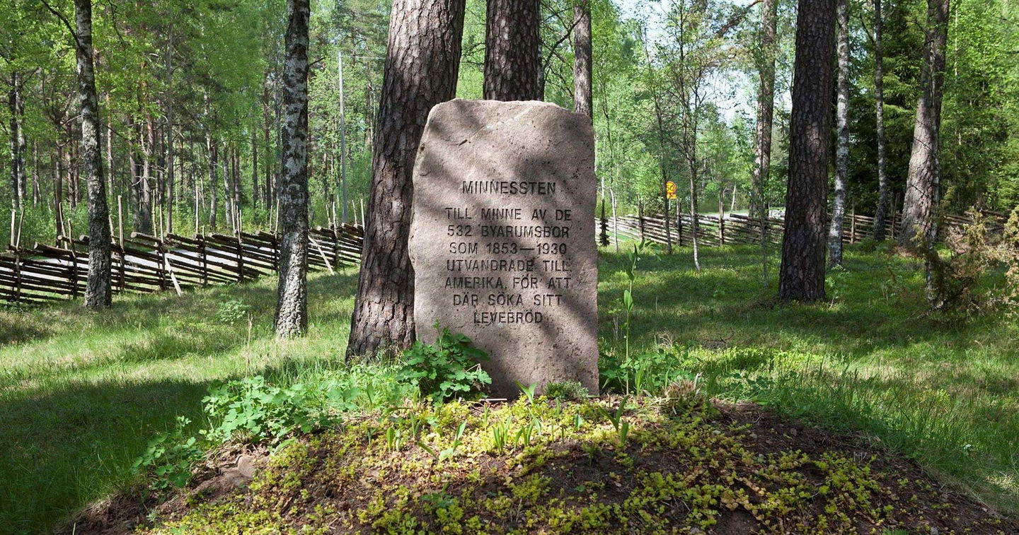
The hike goes through the scenic area towards Byarum where there was a nunnery in the Middle Ages.

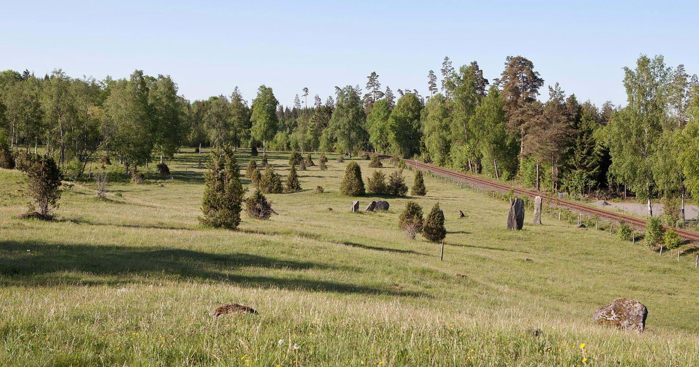
Just before Byarum there is the nature reserve Gärahovs ängar, which is worth taking a walk on the circular trail in connection with the stage.

Get here by public transport

Activities And Facilities

  • Hiking Hiking

Downloads

Contact

Email address

smalandsleden@rjl.se

Questions & Answers

Ask a question to other Naturkartan users.

Reviews

Naturkartan

Naturkartan

Open this in the app