


Connecting trail, Rusarebo Äng – Lundsbo Bokskog (beech forest)
Hiking
- County: Jönköpings län
- 6762.86 km away from you
Trail details
- Length 2.3 km
- Difficulty Green - simple
Actions
Description
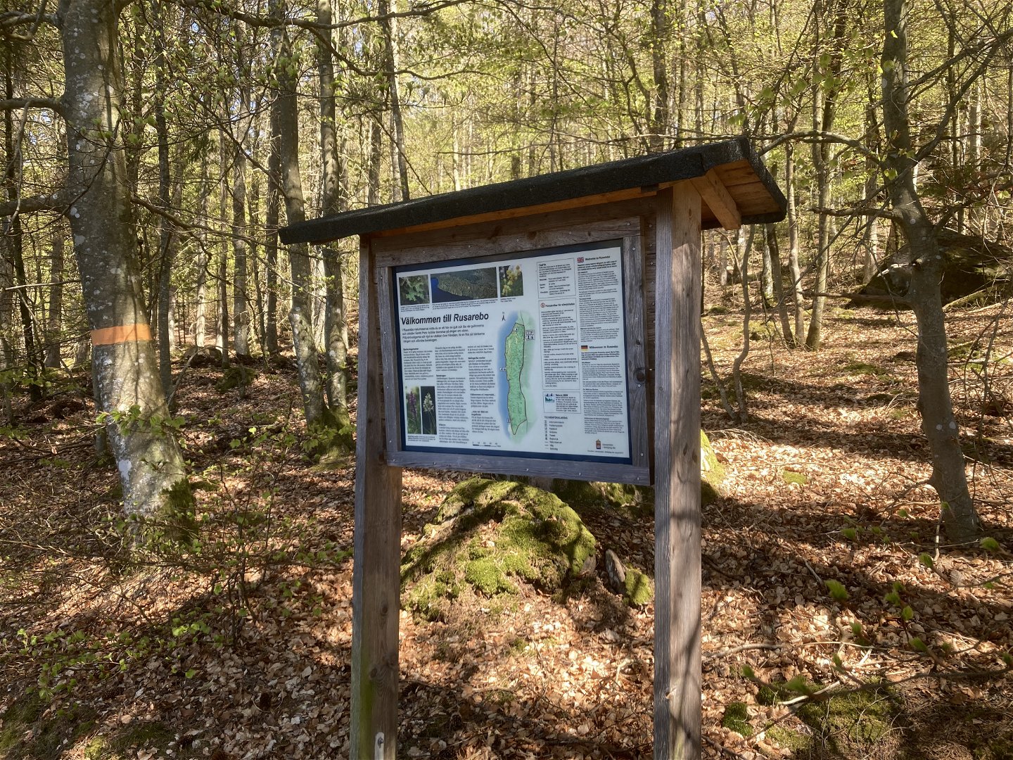
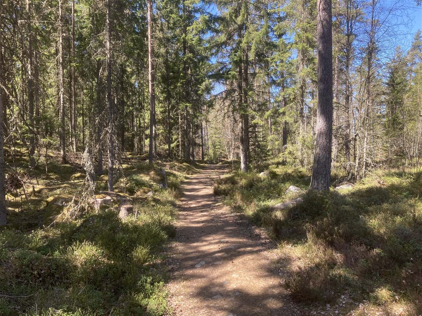
Connecting
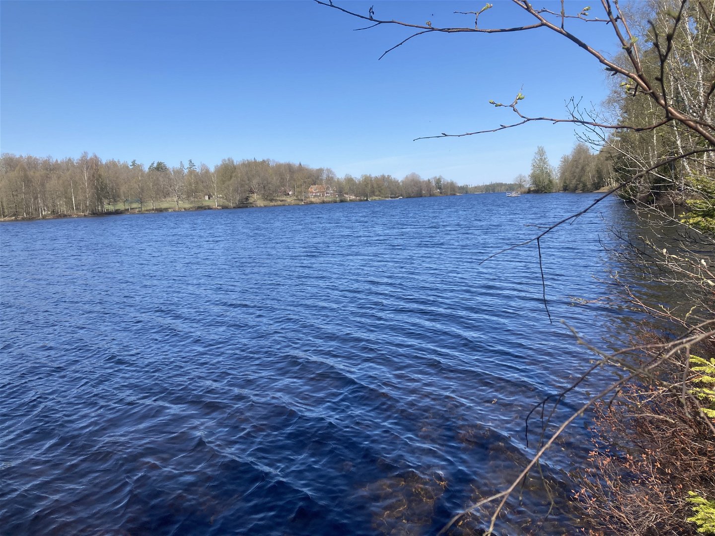
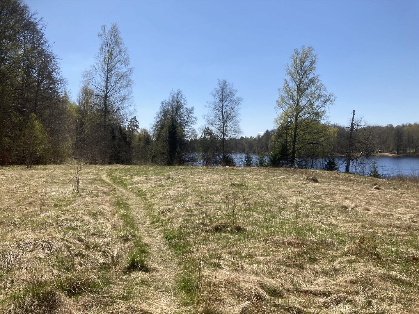
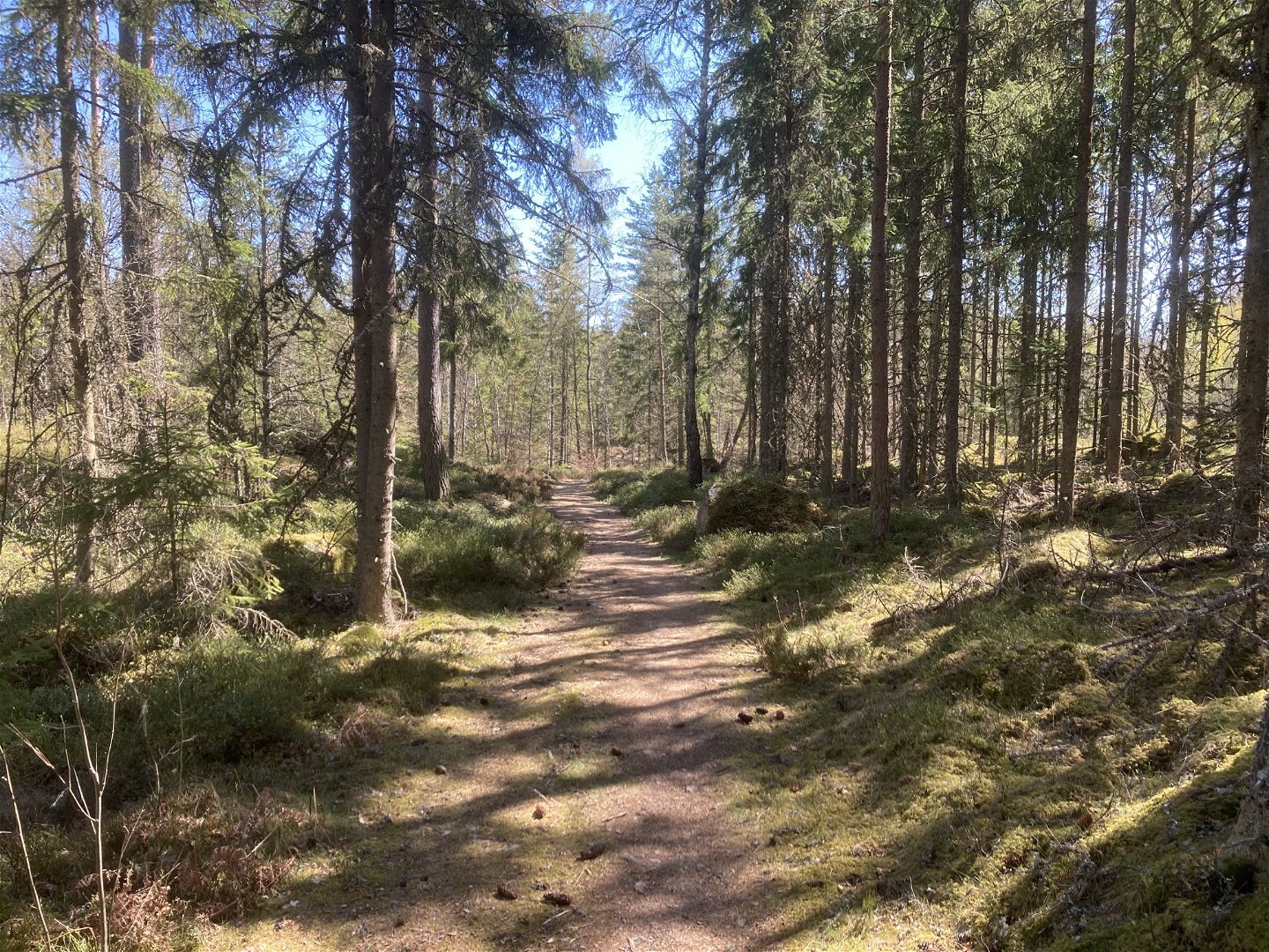
trail between the footpaths in Rusarebo Äng and Lundsbo Bokskog. The eastern
part of the trail goes through coniferous forest, while the western part
follows the shore of Lake Hindsen. Here you can enjoy beautiful views of the
lake. Halfway through the trail you will pass the museum railway Ohsabanan.
The trail
is currently unmarked, so you will have to navigate using the map. Trail
markings will be added shortly.
A small
part of the trail runs along a road. Please keep an eye out for traffic during
this short stretch.
Activities And Facilities
-
Hiking
-
 Trail running
-
 Walking
-
 Archaeological
Accessibility
-
 Near parking
Surface
The surface is mostly trail, with the exception of a section that is a minor forest road and a small section that is a tarmac road.
Contact
Address
Kontaktcenter Värnamo kommun
Kyrktorget 1, 331 83 Värnamo
Telefon 0370-37 70 00
www.varnamo.se
Email address
Kontaktcenter Värnamo kommun
Organization logotype
![]()
Questions & Answers
Ask a question to other Naturkartan users.
Reviews
You might also be interested in
