
Smålandsleden


Circular trail
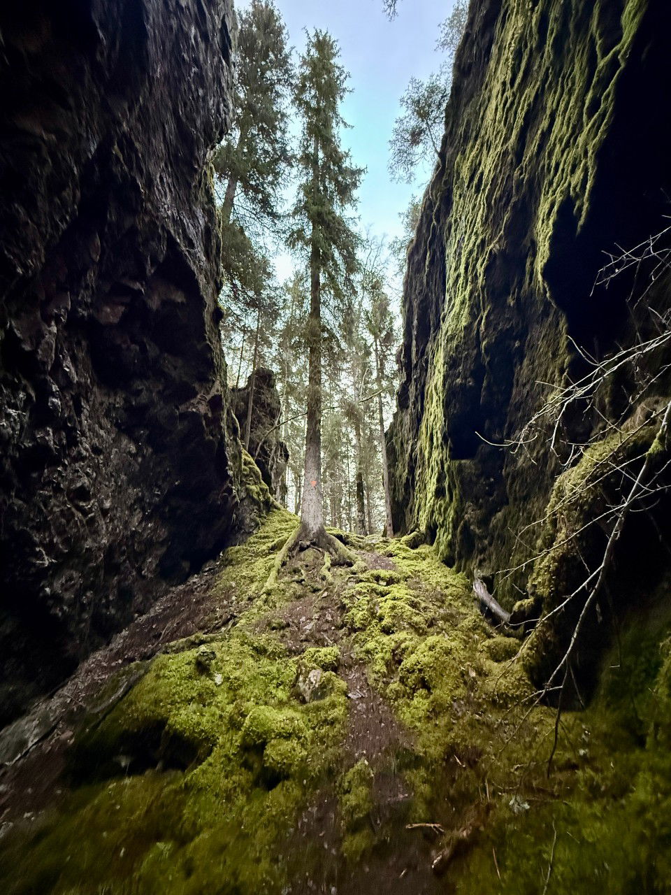
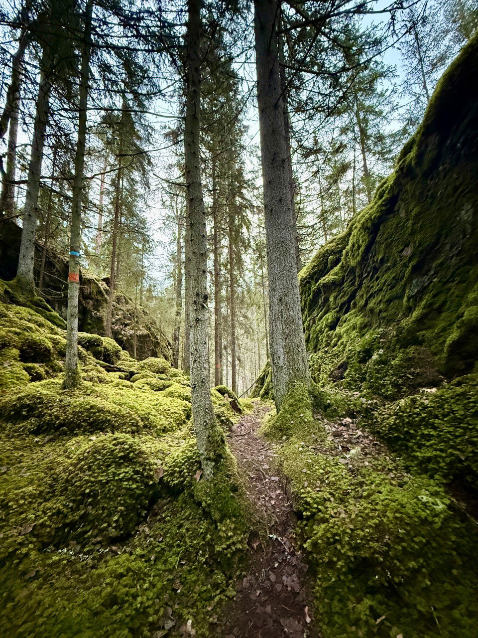
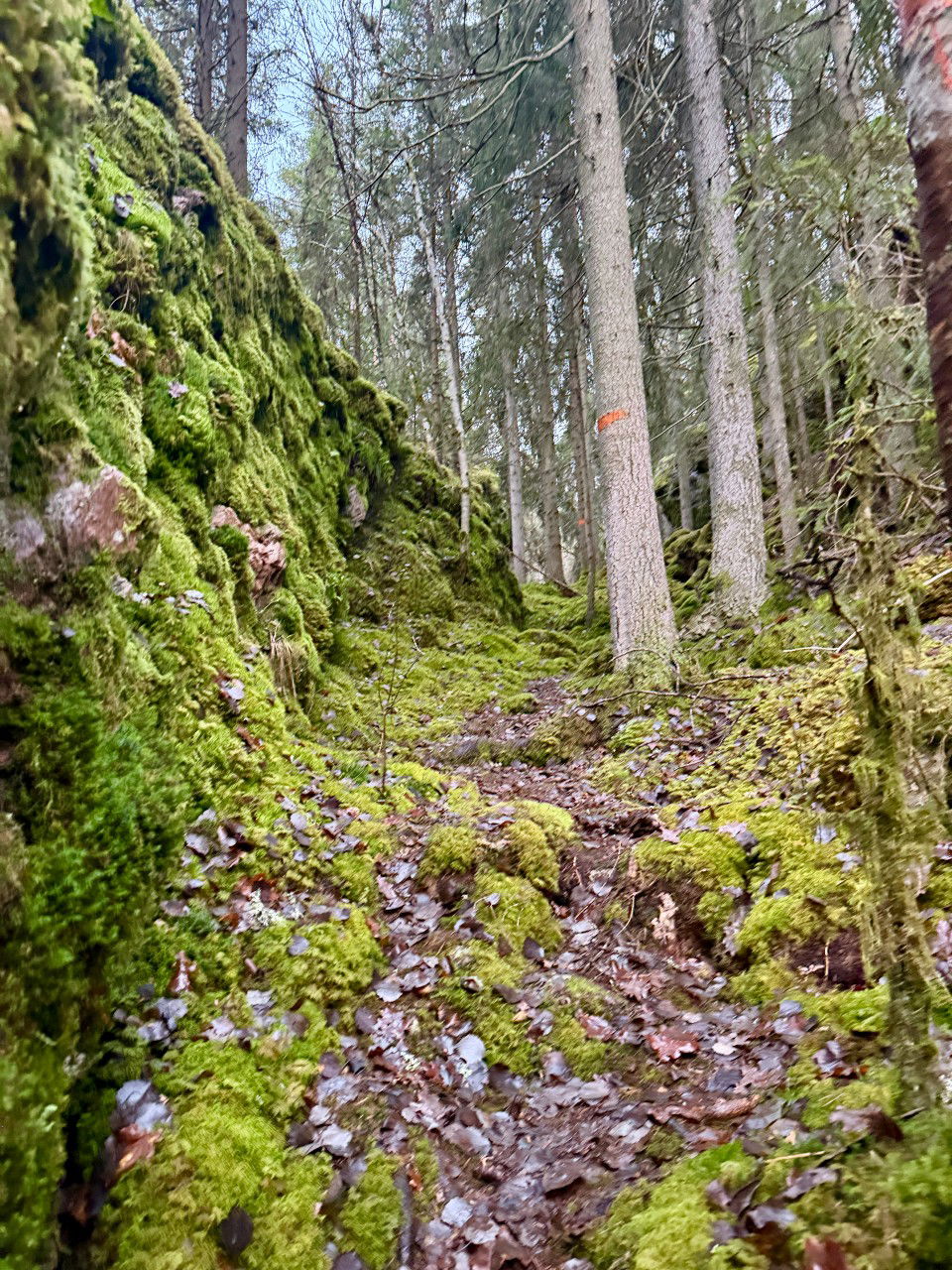
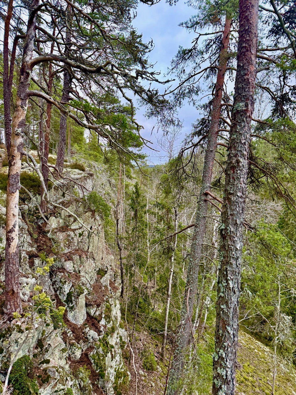
Djupaskuran-Lillån offers dramatic terrain and many rare species. Mosses and fungi thrive in the damp environment, and an abundance of dead wood of various kinds gives rise to a dazzling array of species.
There is a blue-marked loop trail in the southern part of the nature reserve. Roughly halfway through, the trail branches off to a spectacular viewpoint where Djupaskuran plunges steeply downward. The trail is 2.5 kilometers long, including the detour, and runs through ravines and along the Lillån River, but also up on the ridges. The Smålandsleden trail runs partly parallel to the blue trail, but continues onward where the blue trail turns back.
More information at Jönköping County Administrative Board
 Hiking
Circular trail
Hiking
Circular trail
Ask a question to other Naturkartan users.
