

Bike trail, Fyrleden
Biking
- County: Hallands län
- 6677.48 km away from you
Trail details
- Length 8.5 km
- Difficulty Green - simple
Actions
Description
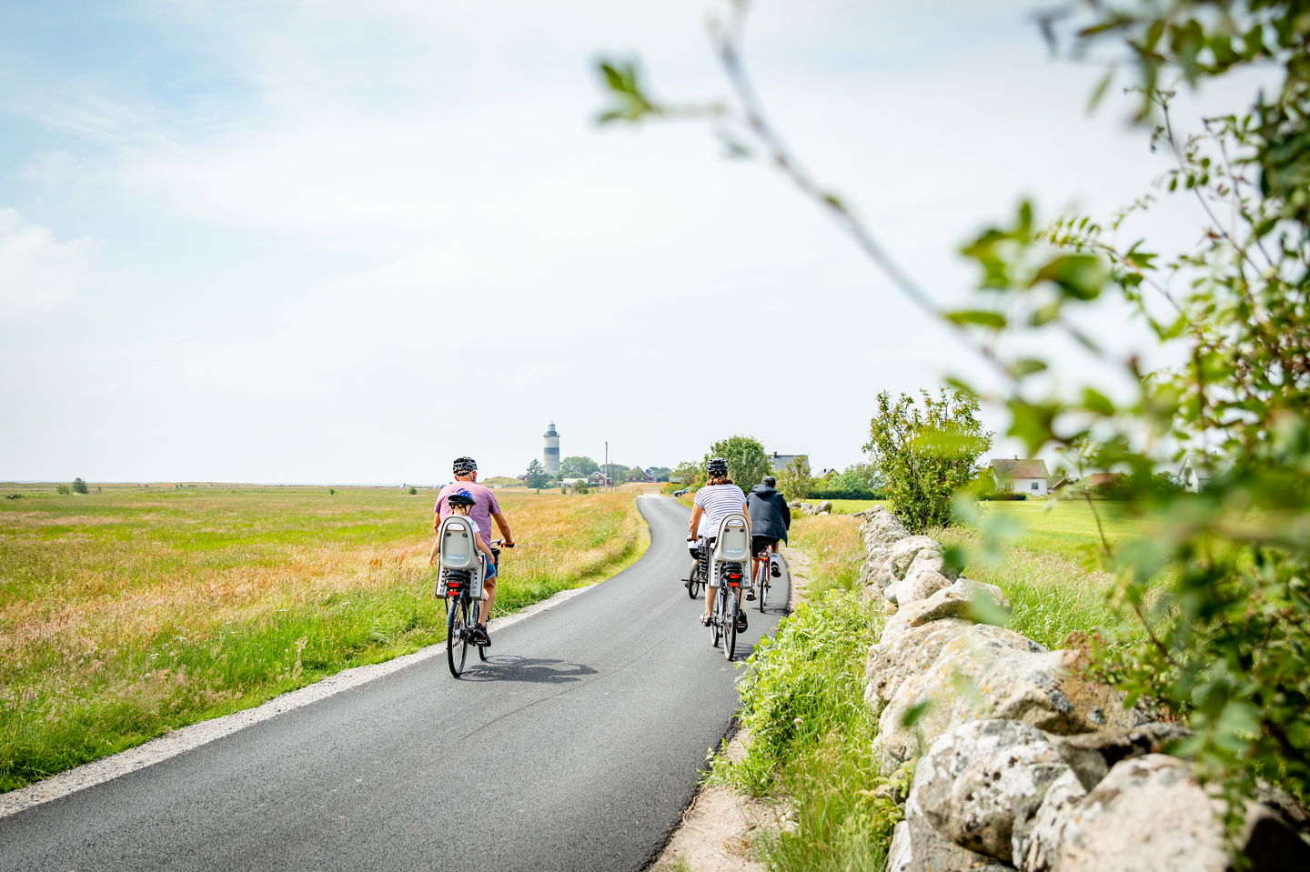
You might already know about the Kattegatt trail. It runs from Helsingborg in the south to Gothenburg in the north. This is a sea-side trail, but at certain locations you can get even closer to the sea. In order not to miss several beautiful locations in the areas around Glommen, an alternative route to the Kattegatt Trail has been made, called Fyrleden.
If you would like to go bicycling on a shorter tour, Fyrleden is a pleasant trip itself extending 8.5 km. The signs have the same design as the Kattegatt Trail signs (red and white) and are easy to follow.
Activities And Facilities
-
Biking
Questions & Answers
Ask a question to other Naturkartan users.
