

Hiking trail Åkulla - Ullared, Hallandsleden
Hiking
- County: Hallands län
- 6678.4 km away from you
Trail details
- Length 11.0 km
- Difficulty Red - demanding
Actions
Description
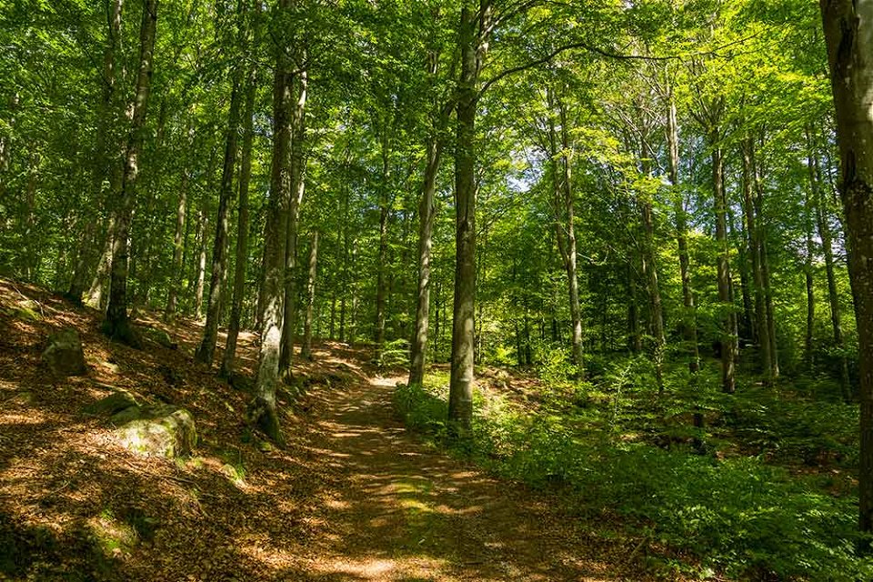
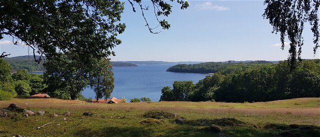
The stage runs mostly through a hilly terrain with different types of forests. At Släryd you pass some more open land, but then the forest closes again and the trail goes down to the Högvadsån valley.
Accommodation A short distance from the trail is the campsite Kogstorp. The shelter can accommodate 4-5 adults and there is a fireplace and dry toilet. In Åkulla you will find two shelters, one out on the island in Lake Yasjön and one just near Åkulla Outdoor Resort, both of these shelters have a fireplace. Toilet, drinking water and firewood are available at Åkulla Outdoor Resort.
Activities And Facilities
-
Hiking
Contact
Address
Email address
Destination Falkenberg
Organization logotype
![]()
Please be aware that some of these texts have been automatically translated.
Questions & Answers
Ask a question to other Naturkartan users.
Reviews
You might also be interested in
