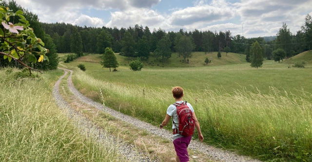
Hiking
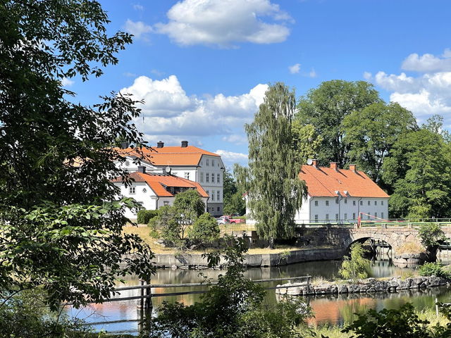
Glotternskogen – Lilla Älgsjön, Östgötaleden
- Municipality: Norrköping
- 6780.19 km away from you
- 11.0 km
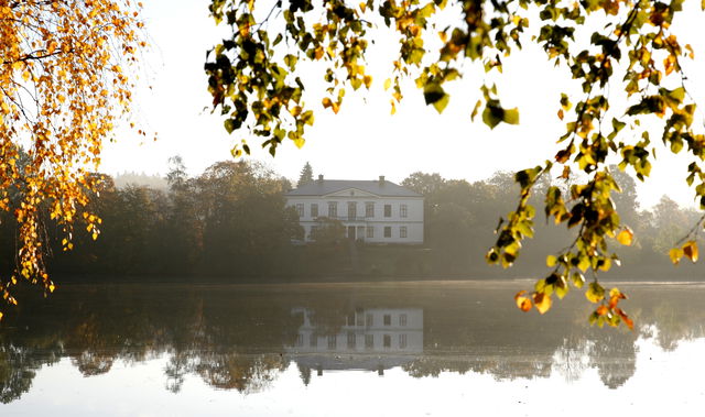
Best hiking trails in Östergötlands län
Naturkartan samlar de vandringslederna i Östergötlands län som är populärast bland våra användare.
Hiking

Hiking
 Circular trail
![|Translated by Google translation| [Atvidaberg] Månebo-Templet](https://uploads.naturkartan-cdn.se/a680486f3b8f554af29ee1299f10e4ca.jpg?width=640&height=480)
Hiking
![[Boxholm ] Boxholm - Strålsnäs EN](https://uploads.naturkartan-cdn.se/66e0739390ca293d13a1cefed634c8d2.jpg?width=640&height=480)
Hiking
![|Translated by Google translation| [Kinda] Horn Smaland limit](https://uploads.naturkartan-cdn.se/5a216f0f965de768da4156a6e0345080.jpg?width=640&height=480)
Hiking
![[Boxholm ] Blåvik - Sundsudden EN](https://uploads.naturkartan-cdn.se/c24994aee50c846dc641339b0dae275c.jpg?width=640&height=480)
Hiking


Hiking
 Walking
Hiking
![|Translated by Google translation| [Mjölby] Södragården - Skogssjön](https://uploads.naturkartan-cdn.se/fd5d325e5f8994a4ece8ed5389c2f968.jpg?width=640&height=480)
Hiking

Hiking
![|Translated by Google translation| [Soderkoping] Pour-Forsum](https://uploads.naturkartan-cdn.se/6bbf961fc766ca278c6a2bf2b1208480.jpg?width=640&height=480)
Hiking