 Best hiking trails in Kalmar län och Öland
Naturkartan samlar de vandringslederna i Kalmar län och Öland som är populärast bland våra användare.
Map
De bästa vandringslederna (466):
 Information
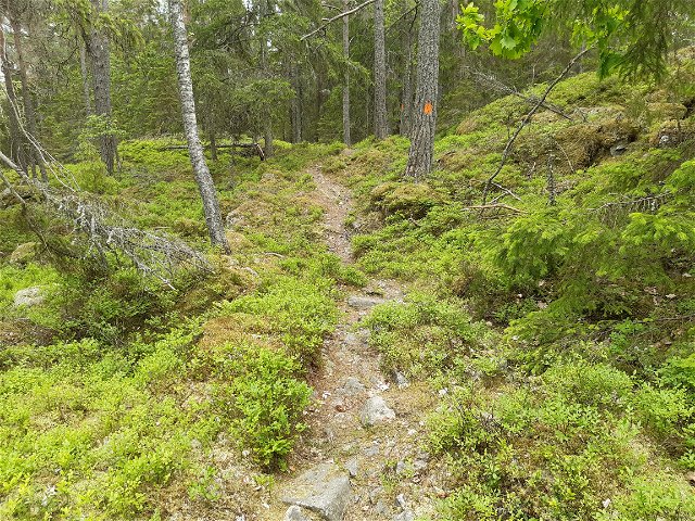
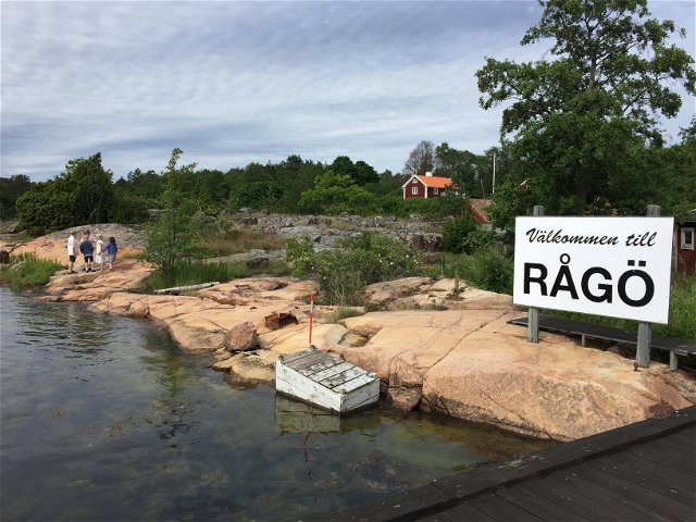
Hiking
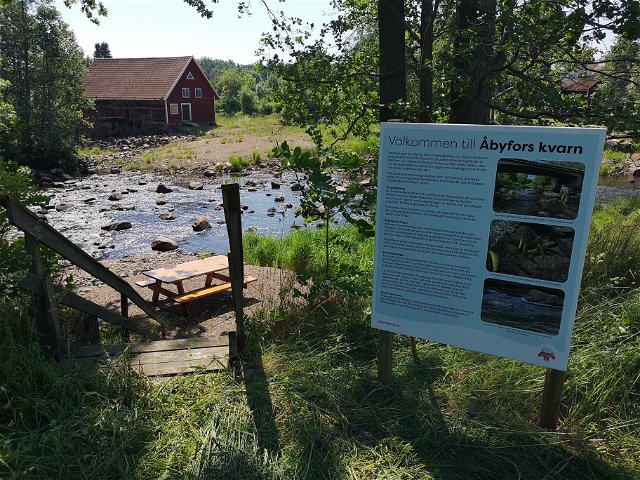
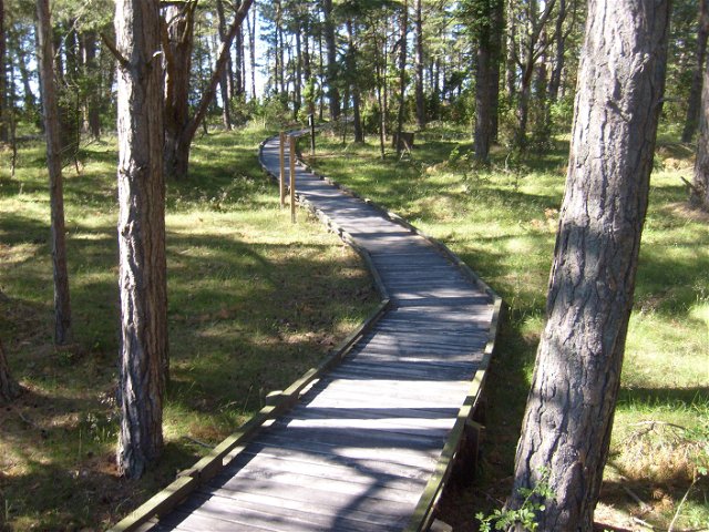
Led till Glasrikets mittpunkt
- Municipality: Nybro
- 6846.5 km away from you
- 0.9 km
- Difficulty: Green

 Biking
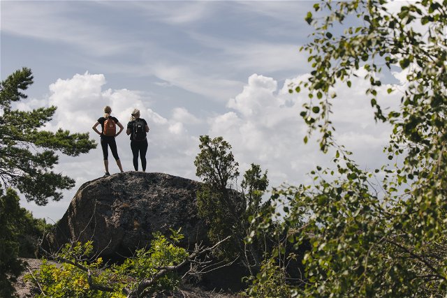
Stora Alvaret leden (Karlevi till mittmuren)
- Municipality: Mörbylånga
- 6913.69 km away from you
- 5.4 km

Hiking
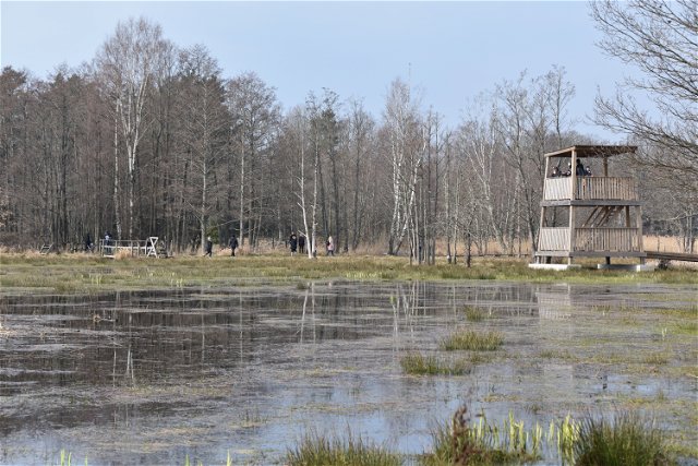
Vandringsled Penåsa - Tingstad flisor
- Municipality: Mörbylånga
- 6921.96 km away from you
- 5.5 km
Hiking
Vandringsled Kastlösa till mittmuren, Millerstenen och Penåsa
- Municipality: Mörbylånga
- 6919.74 km away from you
- 9.0 km
Hiking
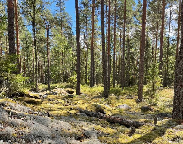
Mjöshyltanslingan, Allgunnen
- Municipality: Nybro
- 6866.09 km away from you
- 0.5 km
- Difficulty: Green
Hiking
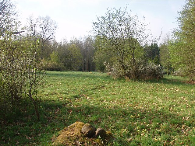
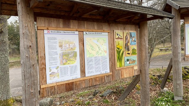
Natur- & Kulturstig vid Hermanstorp
- Municipality: Västervik
- 6851.21 km away from you
- 0.6 km
- Difficulty: Green