


Hiking along ARK56 in Blekinge - discover beautiful nature and yourself
Regardless of whether you are a hardcore hiker and want to hike for a week,…


Hiking
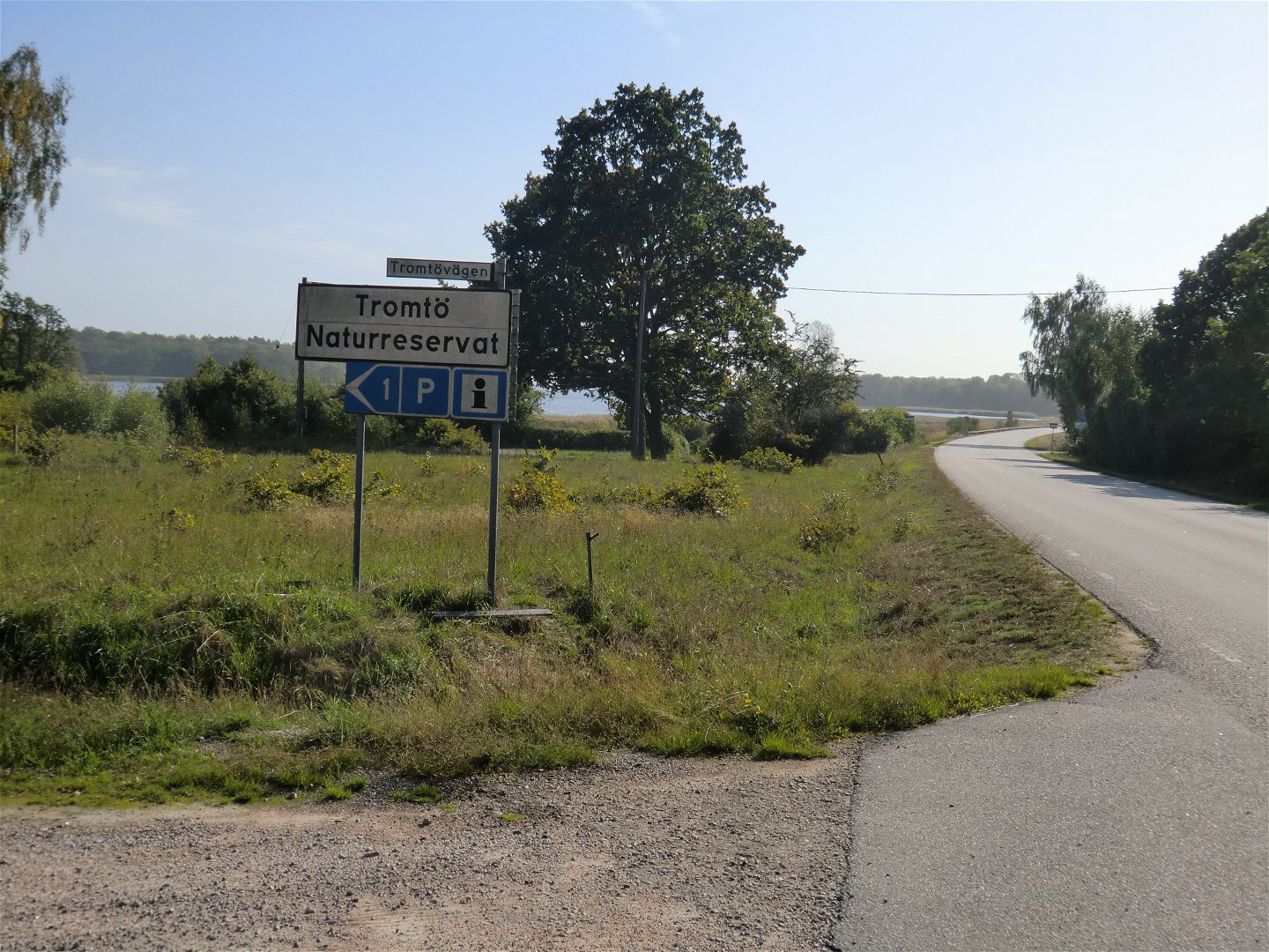
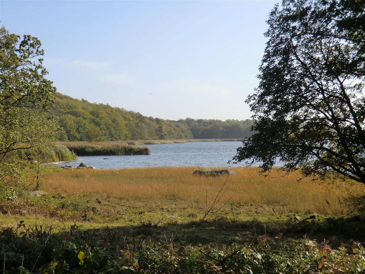
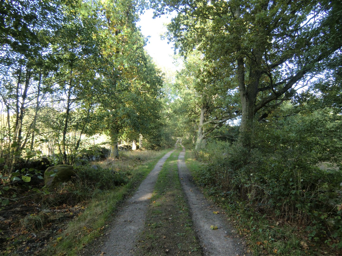
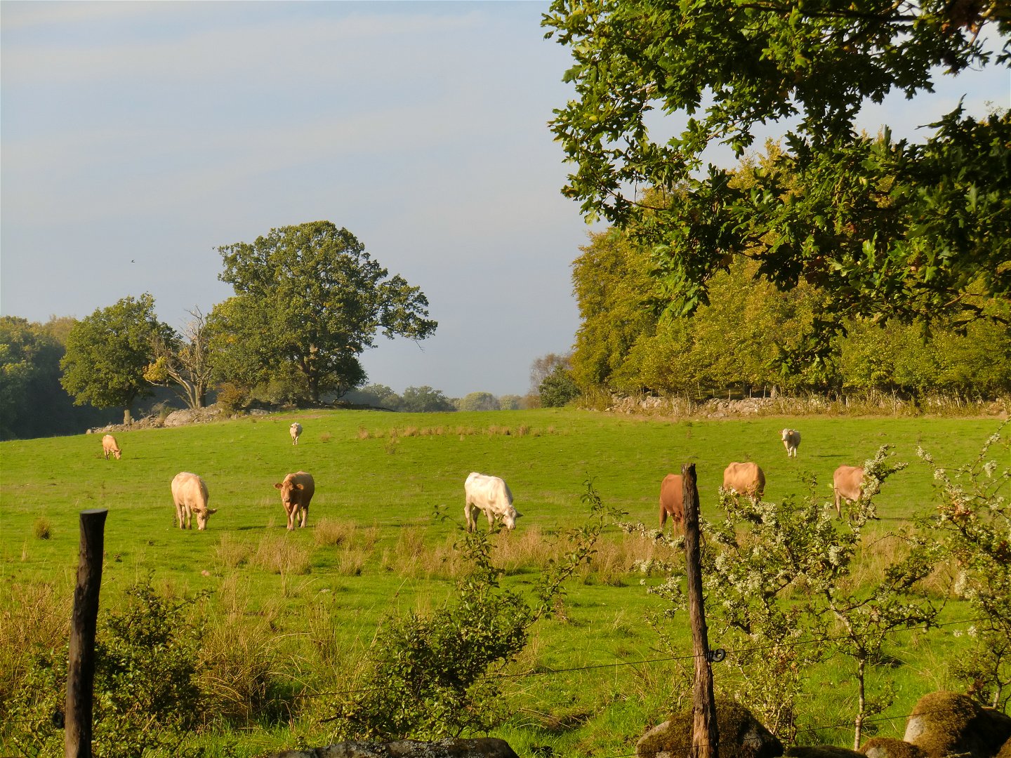
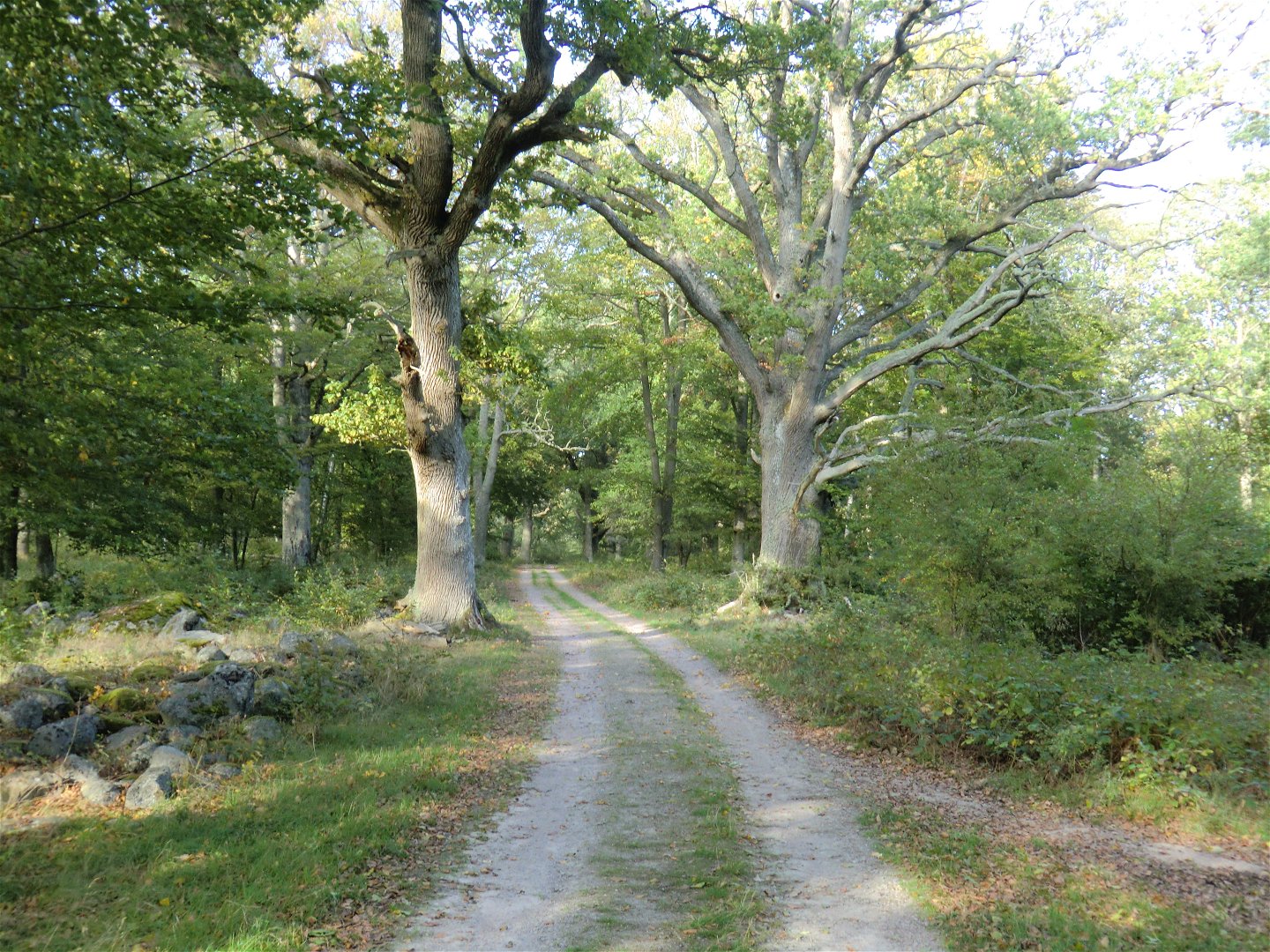
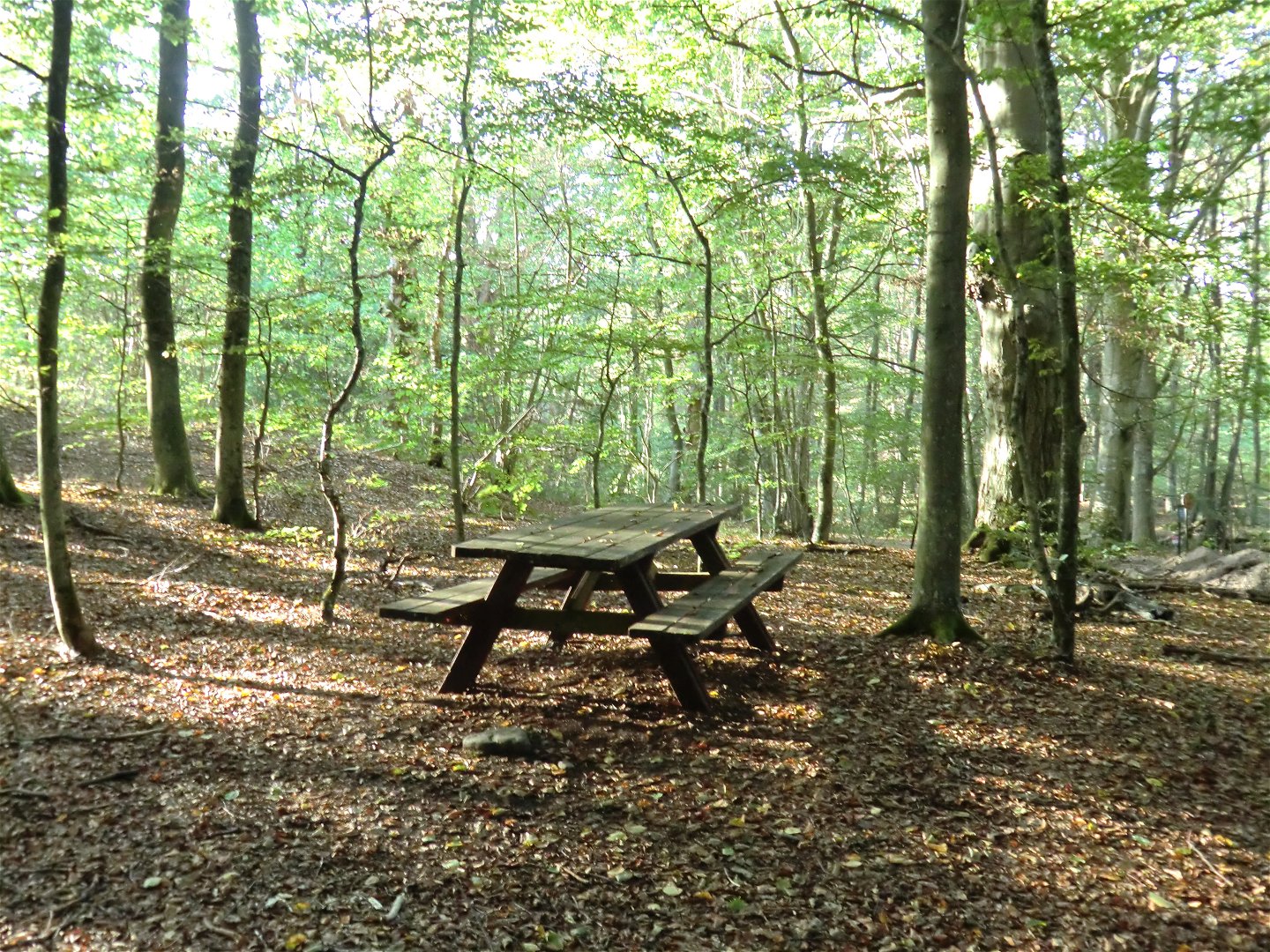
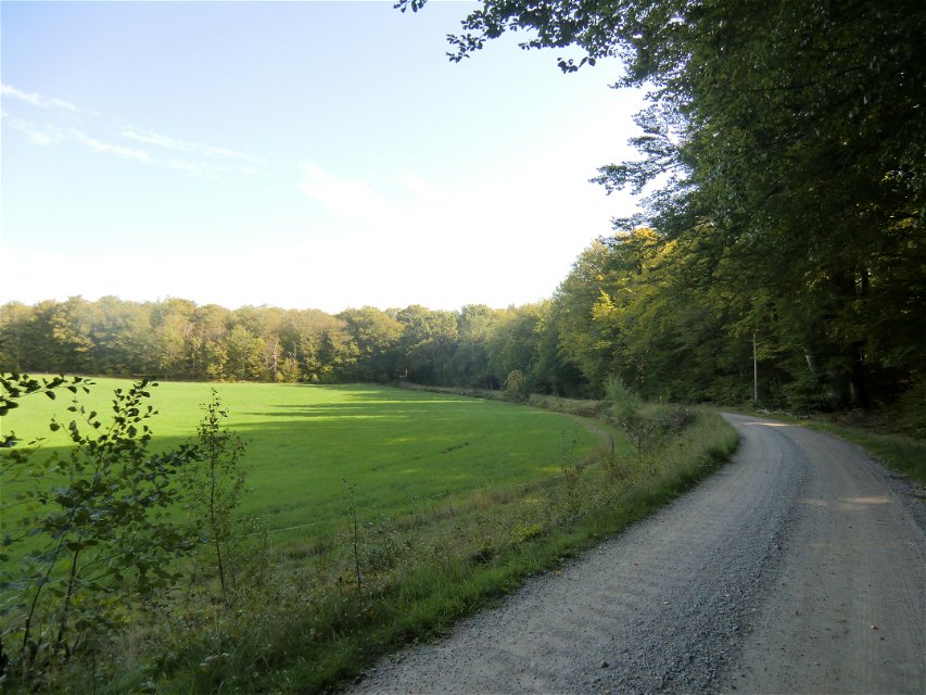
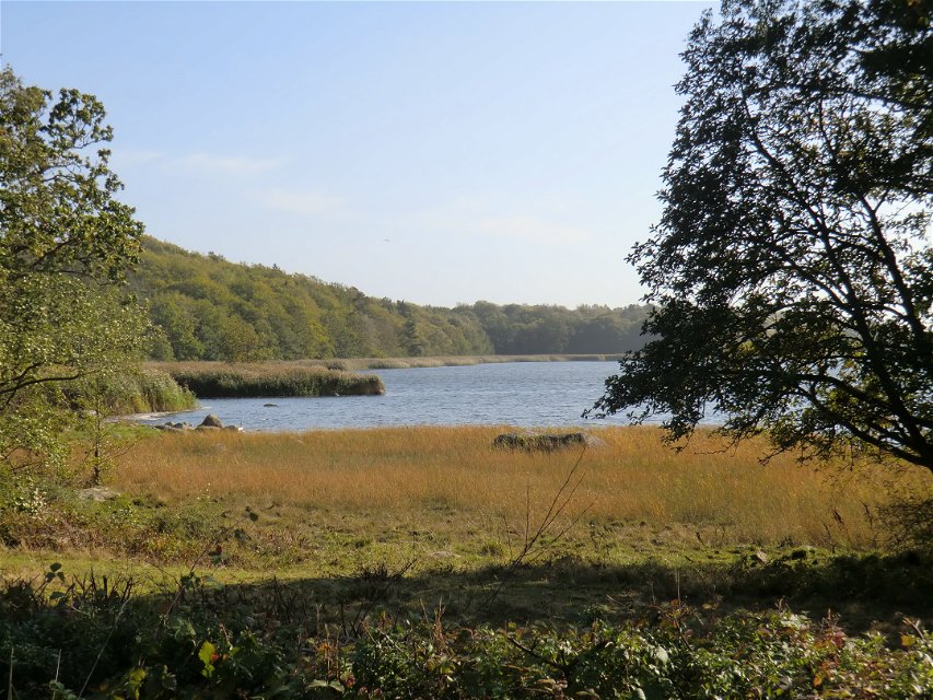
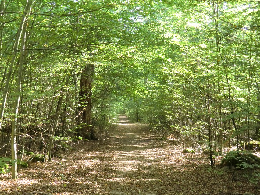
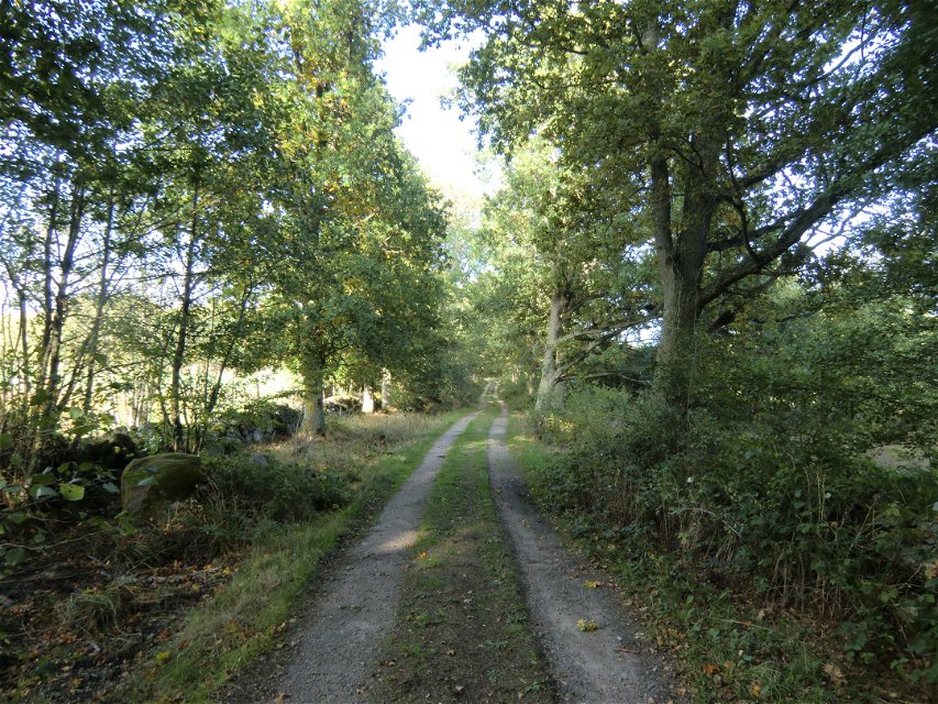
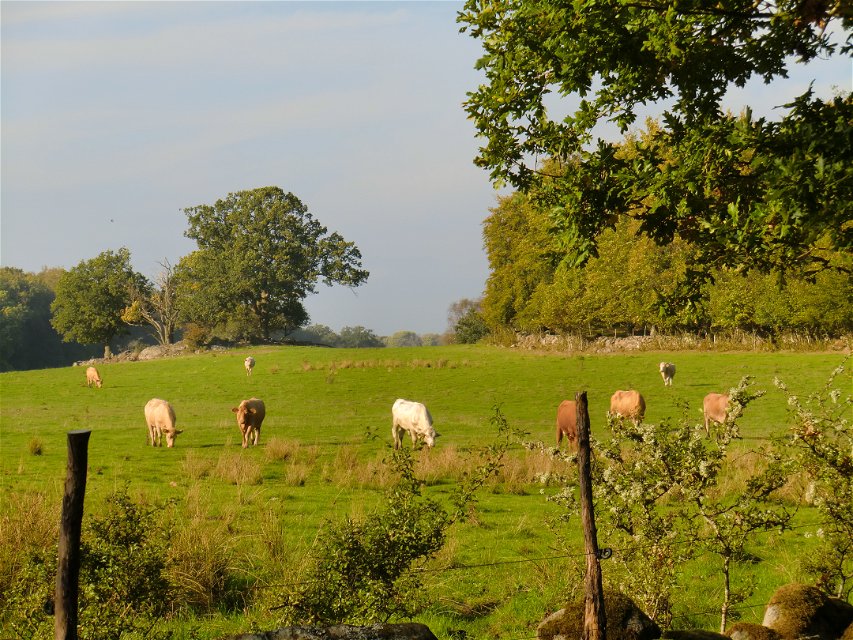
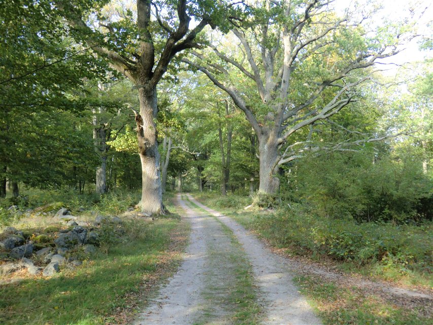
A circular walk in the Tromtö nature reserve running through woodland, meadows and pasture with ancient oak trees.
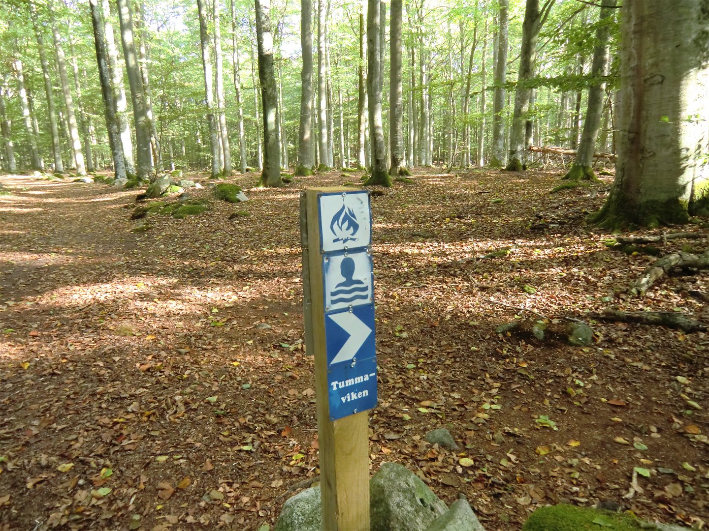
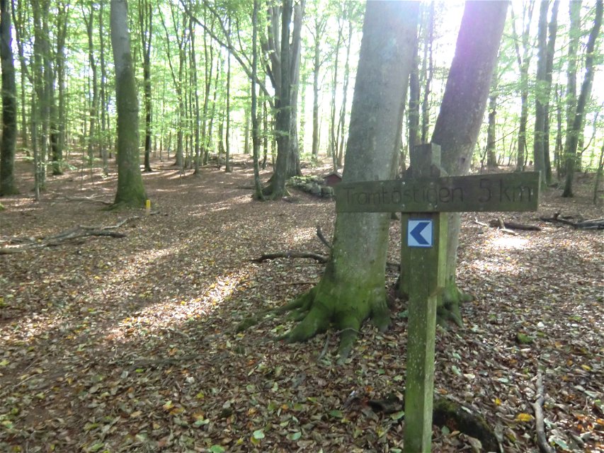
There are places to stop and barbecue along the water’s edge on the unmarked “Strandstigen” (shore path, see map) and in the far east at Tummaviken. The trail is marked on posts and trees in yellow.
Hiking
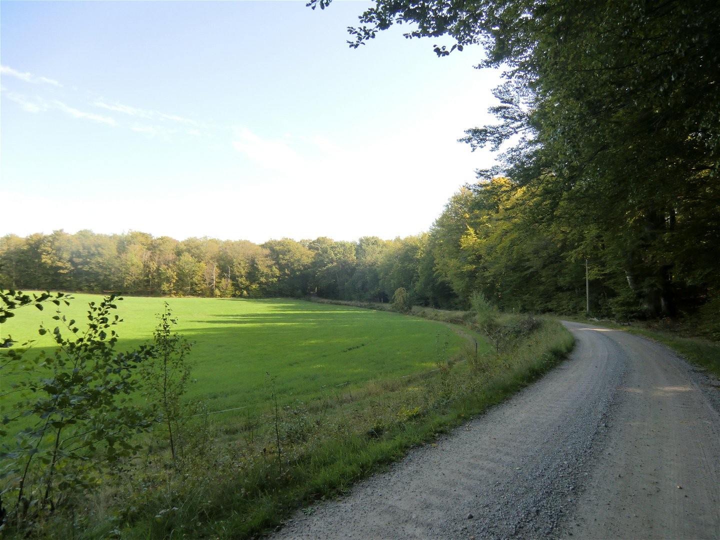
Wide path, narrow path and dirt road.
Bus 154 towards Hasslö, get off at the Gravfältet stop, a few hundred meters from the reserve.
Blekinge Arkipelag
Kurpromenaden 4
372 36 Ronneby
Team ARK56
![]()
Please be aware that some of these texts have been automatically translated.
Ask a question to other Naturkartan users.
Regardless of whether you are a hardcore hiker and want to hike for a week,…

Ta med familjen på äventyr i skogen Kallt om kinderna, varmt i magen, höstlovet är…
