
Hiking along ARK56 in Blekinge - discover beautiful nature and yourself
Regardless of whether you are a hardcore hiker and want to hike for a week,…


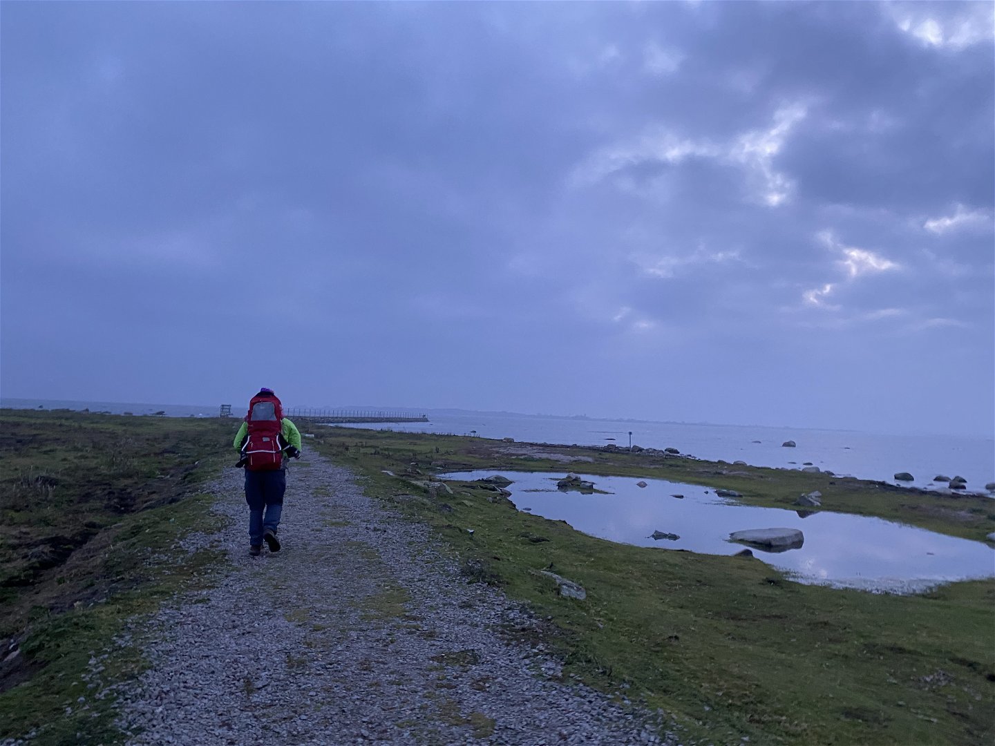
Hiking
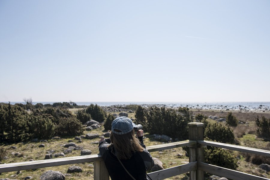
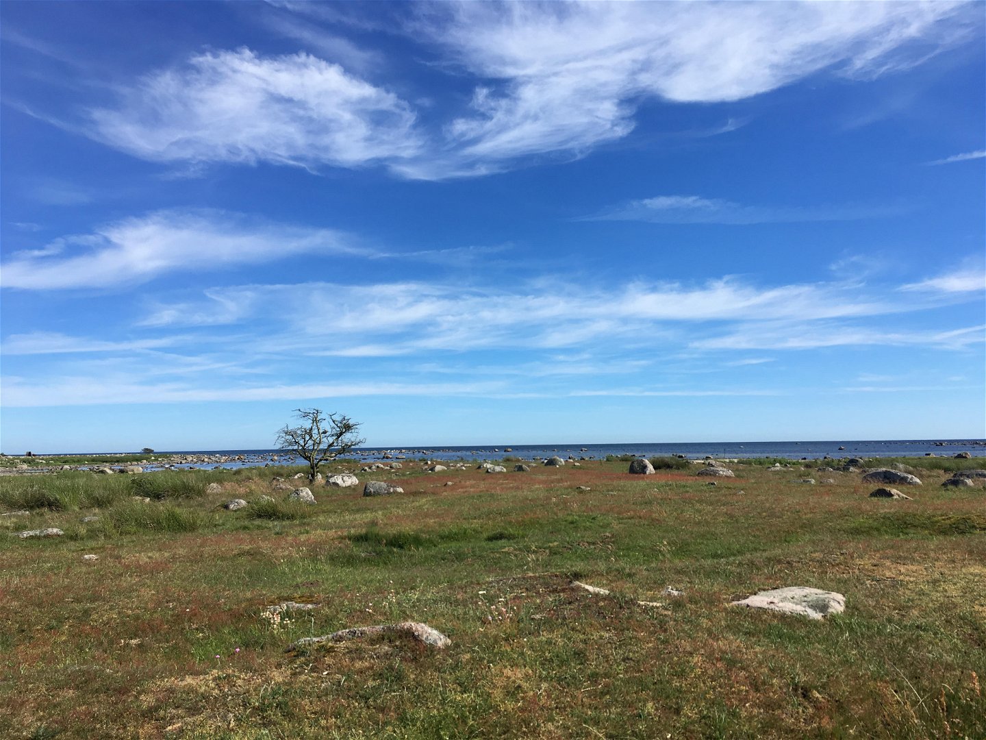
An easy access walk on the Torhamns Udde headland which is known for its birdlife. The path runs through fields of grass and coastal meadows with birdwatching towers along the way to stop off for a rest.
Hiking
 Stroller accessible
 Wheelchair accessible
The part of the trail is accessible by wheelchair/stroller. When arriving at the parking lot, it is possible to reach Torhamn's cape (the road straight ahead from the parking lot to the south) on a wide gravel road.
NOTE: Not the circular loop!
Stig.
Länsstyrelsen Blekinge
![]()
Please be aware that some of these texts have been automatically translated.
Ask a question to other Naturkartan users.
Regardless of whether you are a hardcore hiker and want to hike for a week,…

Ta med familjen på äventyr i skogen Kallt om kinderna, varmt i magen, höstlovet är…

