
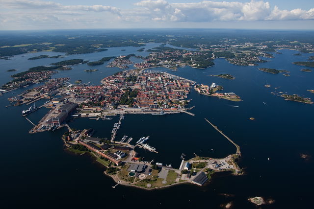
Karlskrona, a World Heritage Site
Anchor in Karlskrona, the town that was founded in 1680 when Karl XI decided to…
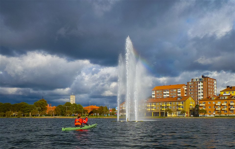

Paddling
This circular route basically shows you the whole of Karlskrona from the water. You explore the really sheltered north side through a narrow channel/canal, the archipelago to the west of the town, kayak through the town itself and then round the big islands of Hästö and Verkö east of the centre. Mainly sheltered. Slightly open and unprotected between Karlskrona and Verkö.
Paddling
Blekinge Arkipelag
Kurpromenaden 4
372 36 Ronneby
Team ARK56
![]()
Ask a question to other Naturkartan users.
Anchor in Karlskrona, the town that was founded in 1680 when Karl XI decided to…
