
Kayaking ARK56
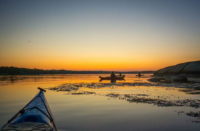
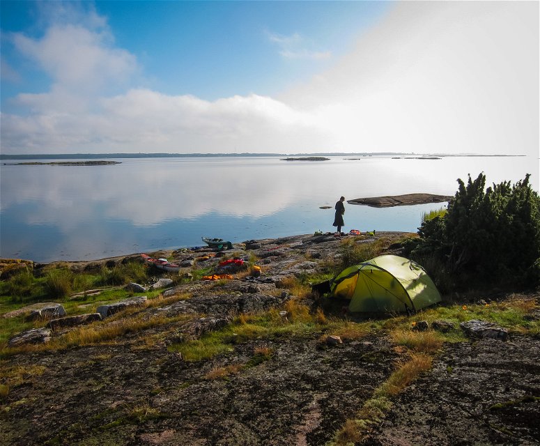
Paddling through the Blekinge archipelago is one of the best ways to truly experience the…

Paddling
From Senoren it’s a sheltered route in Rörsfjärden with a few rocks and skerries, bird protection areas, and its share of reeds. To the south, following the mainland, there are cottages and little islands. Svenö nature reserve makes a good spot to stop before passing the ferry between the mainland and Ytterön/Hästholmen. The last bit to Torhamn passes the shallow bay Gissleviken, with a campsite in the middle of the shore.
Paddling
Blekinge Arkipelag
Kurpromenaden 4
372 36 Ronneby
Team ARK56
![]()
Ask a question to other Naturkartan users.
Paddling through the Blekinge archipelago is one of the best ways to truly experience the…
