Kayaking ARK56
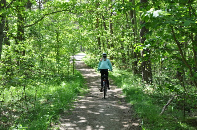
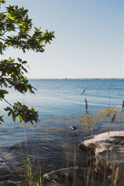
Paddling through the Blekinge archipelago is one of the best ways to truly experience the…


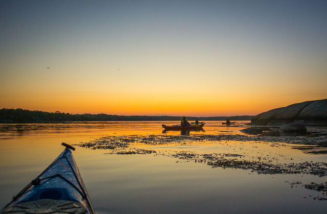
Paddling
Here the trail runs north of the large islands of Sturkö and Tjurkö with views of Karlskrona all the way. Mainly sheltered, as long as there isn’t a north wind. The passage between Aspö and Tjurkö is completely unprotected from winds from the south. Kungsholmen is an imposing military facility and Kastellet, the fortress on Aspö, is an impressive feature to drift past.
Paddling
Blekinge Arkipelag
Kurpromenaden 4
372 36 Ronneby
Team ARK56
![]()
Ask a question to other Naturkartan users.
Paddling through the Blekinge archipelago is one of the best ways to truly experience the…