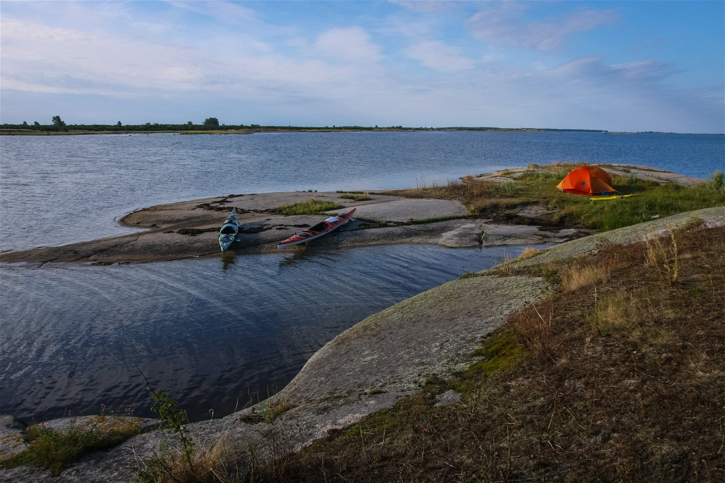
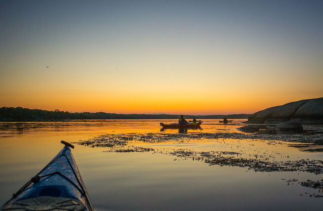
Teknisk uppgradering av Naturkartan måndag morgon

På måndag morgon driftsätter vi en stor teknisk uppgradering av Naturkartan som vi arbetat med i 18 månader. Uppgraderingen ger en snabbare och mer stabil plattform och lägger grunden för de nya funktioner som kommer i Naturkartan version 3 under hösten. Det kan förekomma kortare driftstörningar under början av veckan men vi gör vårt bästa för att lösa alla problem som uppstår. Hjälp oss gärna genom att tipsa oss på emil@outdoormap.com - om något inte fungerar som det skall!

Paddling

Kayaking trail Torhamn – Stenshamn

Paddling

0 of 5 stars — (see reviews)

Trail details

  • Length 11.8 km
  • Difficulty Blue - medium

Actions

Description

A route round the easternmost part of the Blekinge archipelago and probably the most rock-strewn ;). Here there’s a mix of open water just off Torhamn as you pass the pilot lookout point on Långören. Between Vieskär and Tobisaflöten the water is shallow so you could easily walk from one island to the next. Stenshamn is a nice little fishing village.

Get here by public transport

Activities And Facilities

  • Paddling Paddling

Downloads

Contact

Address

Blekinge Arkipelag
Kurpromenaden 4
372 36 Ronneby

Email address

Team ARK56

team@ark56.se

Questions & Answers

Ask a question to other Naturkartan users.

Reviews

Naturkartan

Naturkartan

Open this in the app