47 nature reserves in the Blekinge Archipelago Biosphere Reserve
You’ll find 47 nature reserves in the Blekinge Archipelago Biosphere Reserve, all of which offer…
På måndag morgon driftsätter vi en stor teknisk uppgradering av Naturkartan som vi arbetat med i 18 månader. Uppgraderingen ger en snabbare och mer stabil plattform och lägger grunden för de nya funktioner som kommer i Naturkartan version 3 under hösten. Det kan förekomma kortare driftstörningar under början av veckan men vi gör vårt bästa för att lösa alla problem som uppstår. Hjälp oss gärna genom att tipsa oss på emil@outdoormap.com - om något inte fungerar som det skall!


Nature reserve
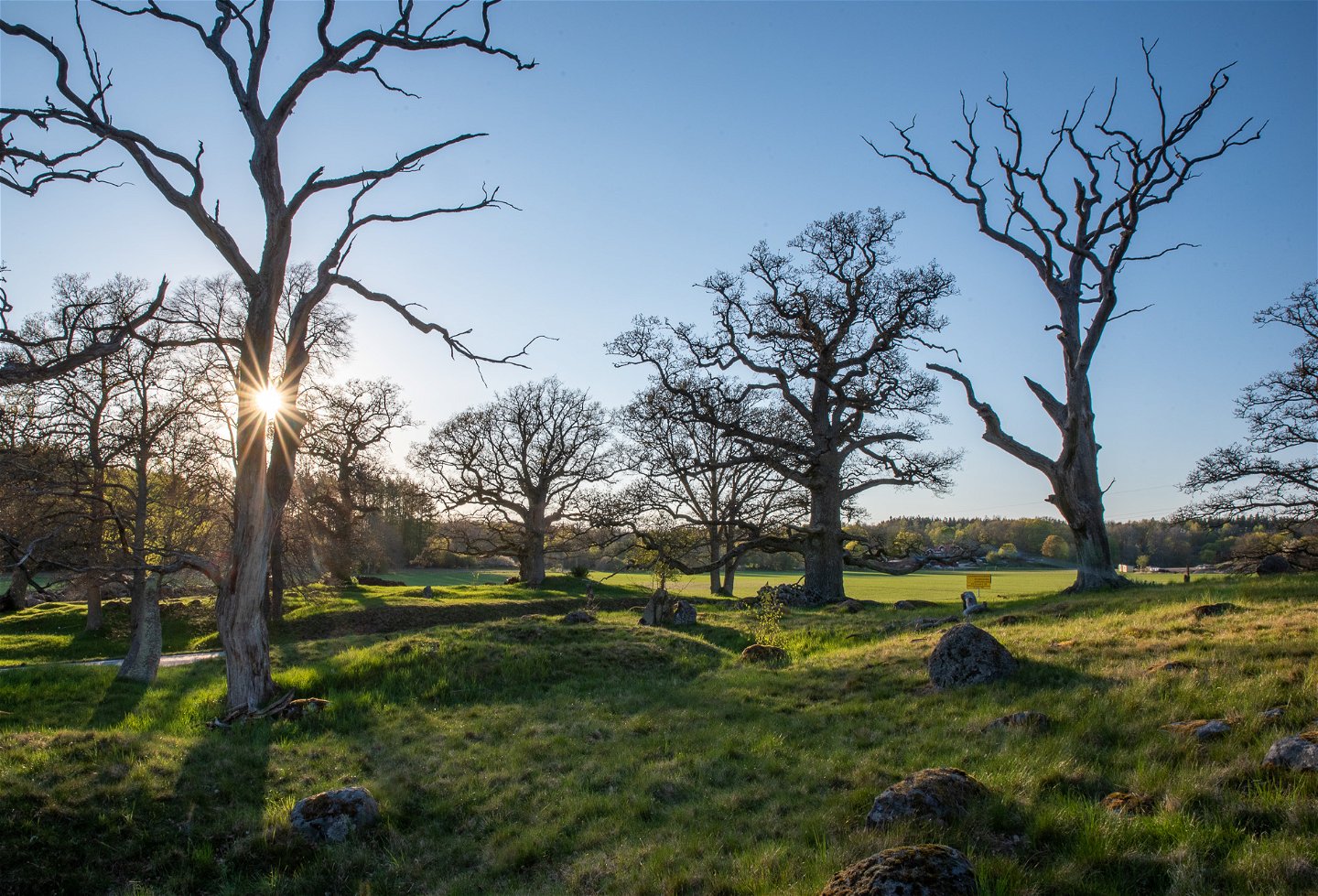
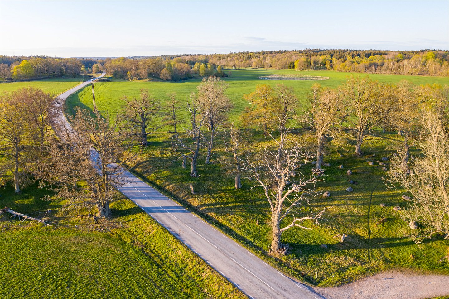
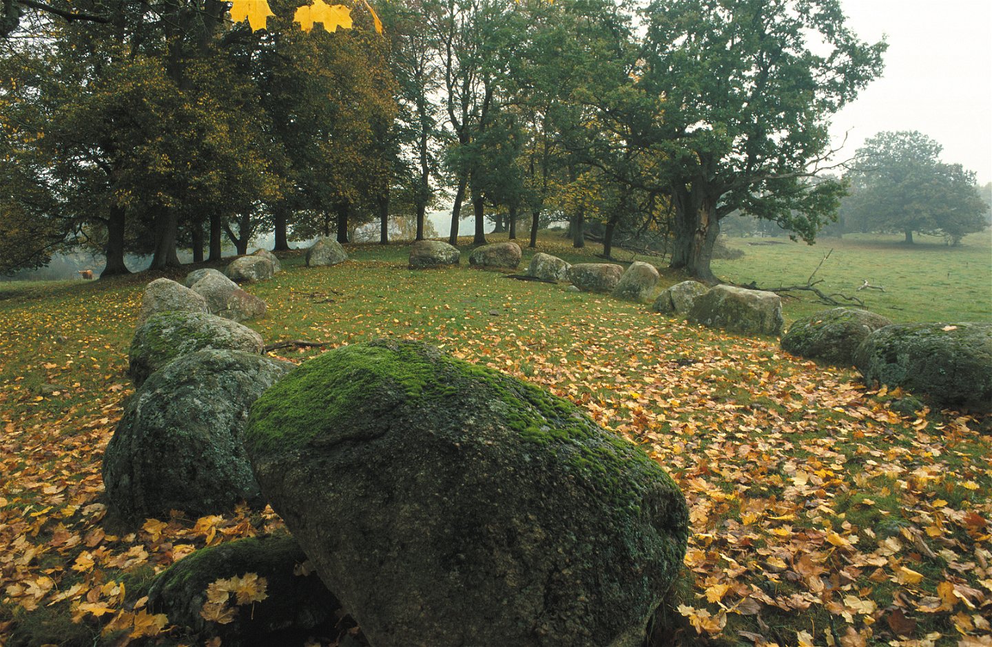
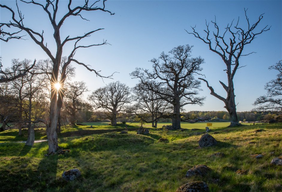
The Johannishusåsen ridge gently rises on the horizon, wending its way through fertile farmland. The nature reserve runs for 6 kilometres from Hillerslätt in the north to Hjortsberga in the south. The ridge is mainly grazing land with ancient knotty oak trees. This beautiful park-like landscape is primarily the result of the formation of the Johannishus Gods estate in the late seventeenth century. The estate maintained the meadows and grazing land for centuries.
Nature reserve
Bus 255 from Ronneby travel center to the stop "Tvingsvägen Ronneby" takes twelve minutes. From the stop it is 400 meters to the nearest part of the nature reserve.
Länsstyrelsen Blekinge
![]()
Please be aware that some of these texts have been automatically translated.
Ask a question to other Naturkartan users.
You’ll find 47 nature reserves in the Blekinge Archipelago Biosphere Reserve, all of which offer…
