

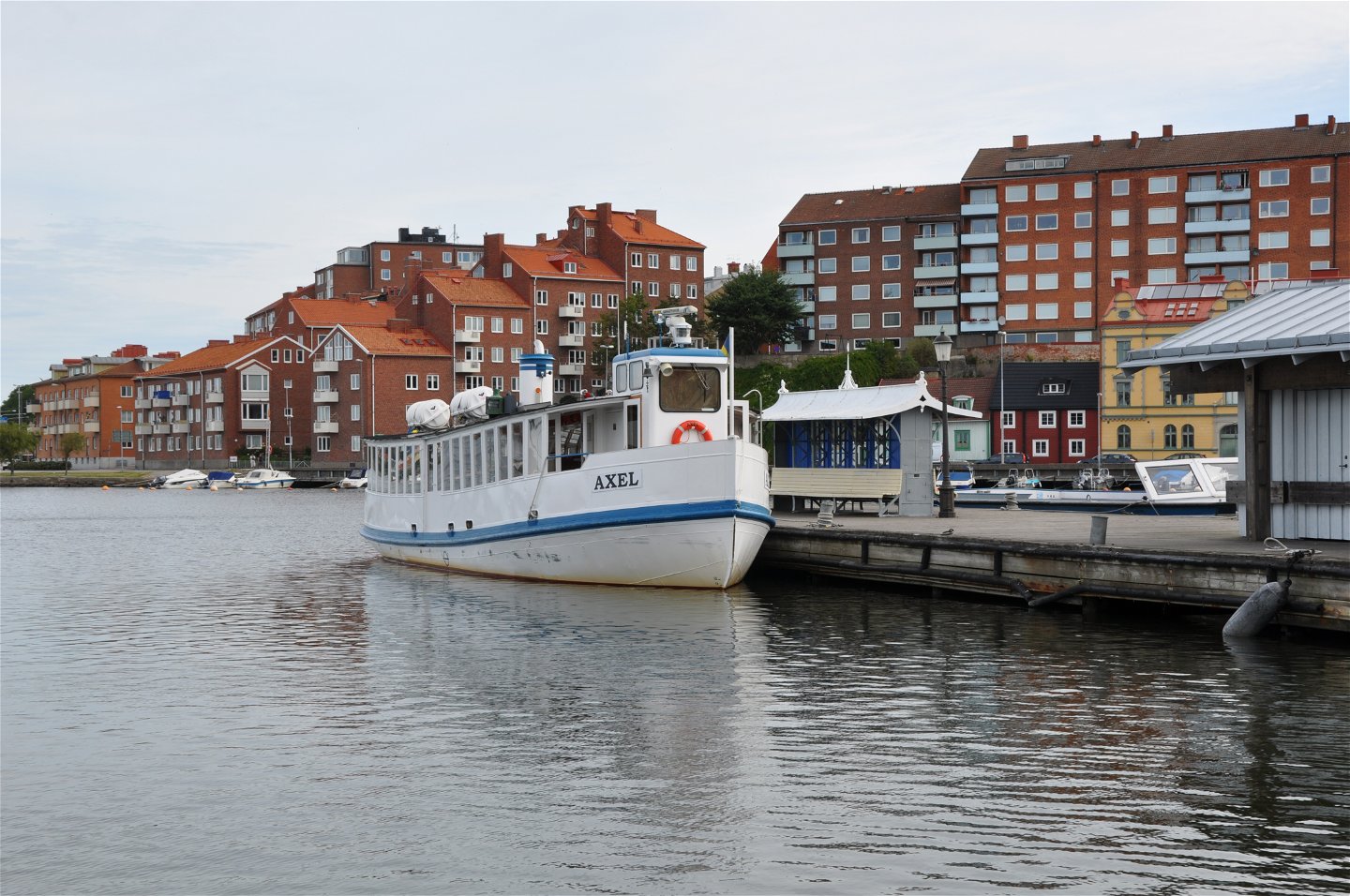

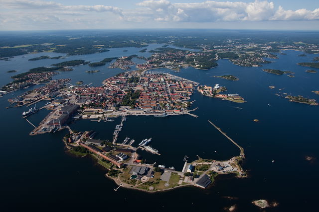
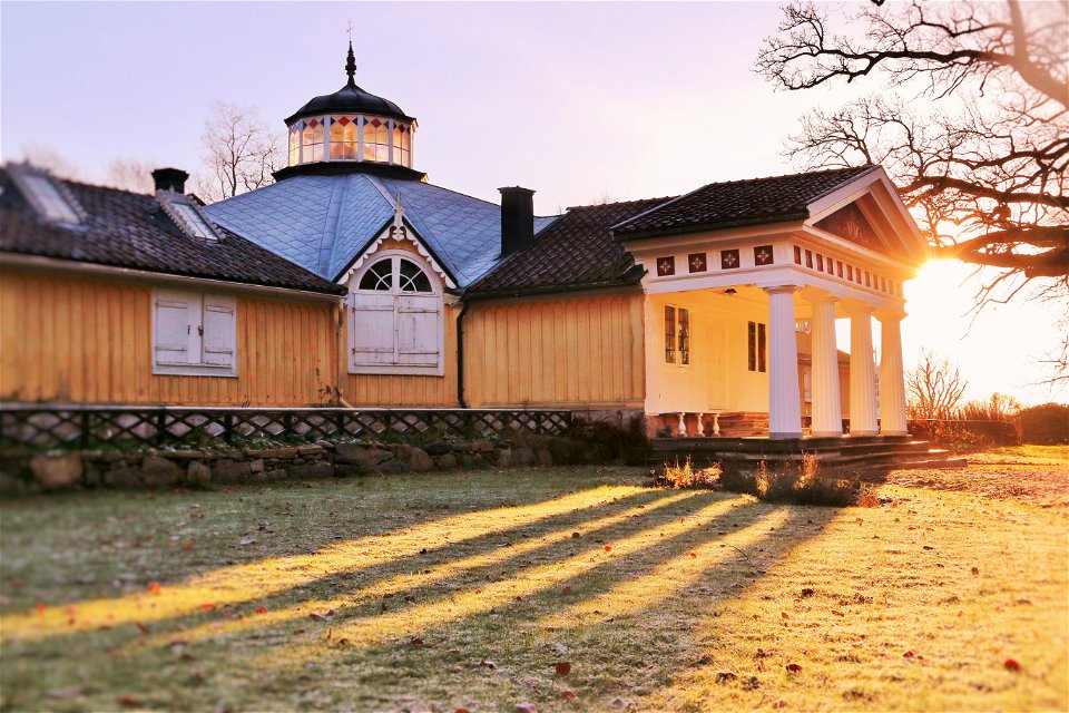
Karlskrona, a World Heritage Site
Anchor in Karlskrona, the town that was founded in 1680 when Karl XI decided to…

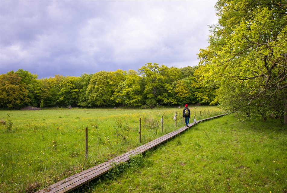


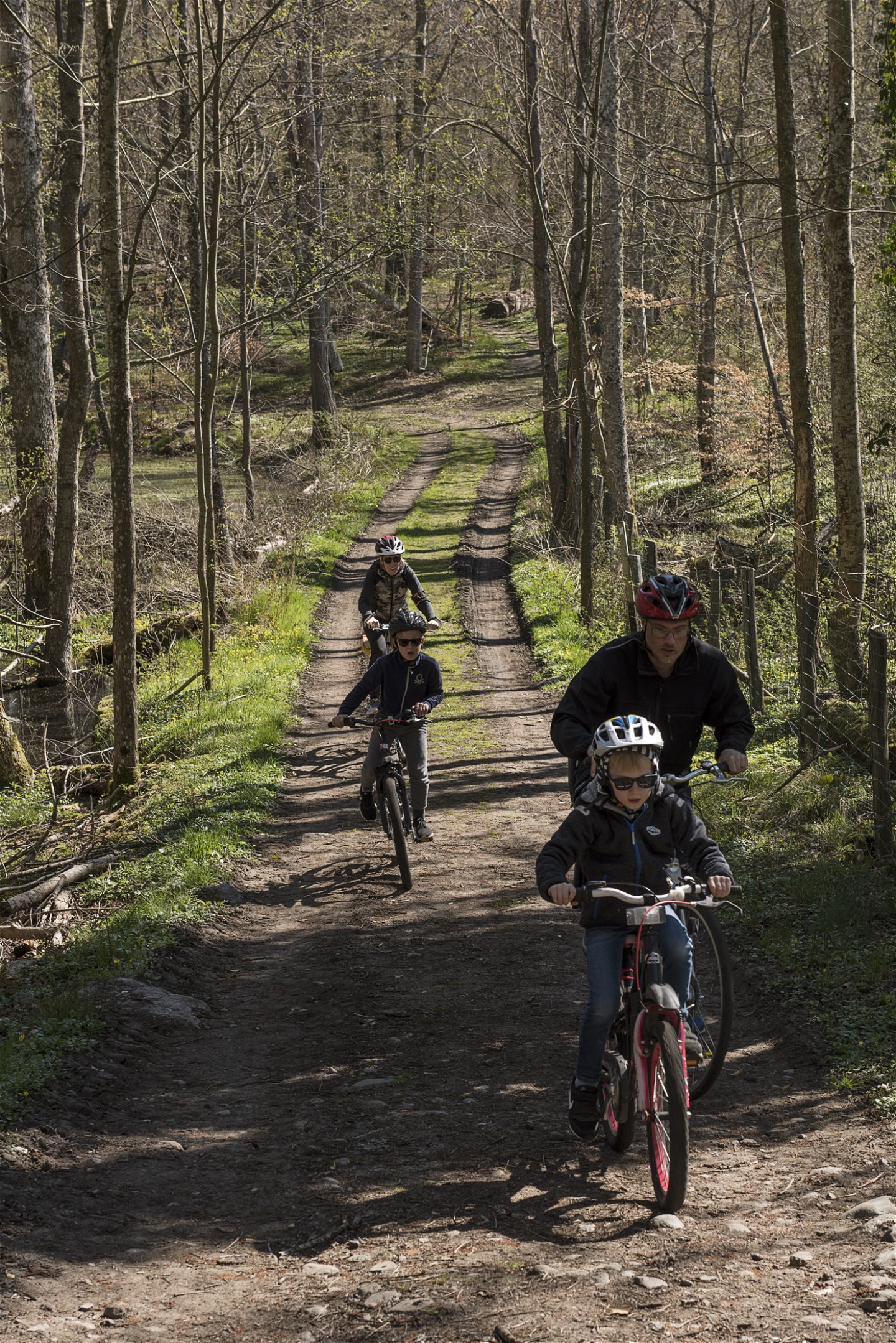
Biking
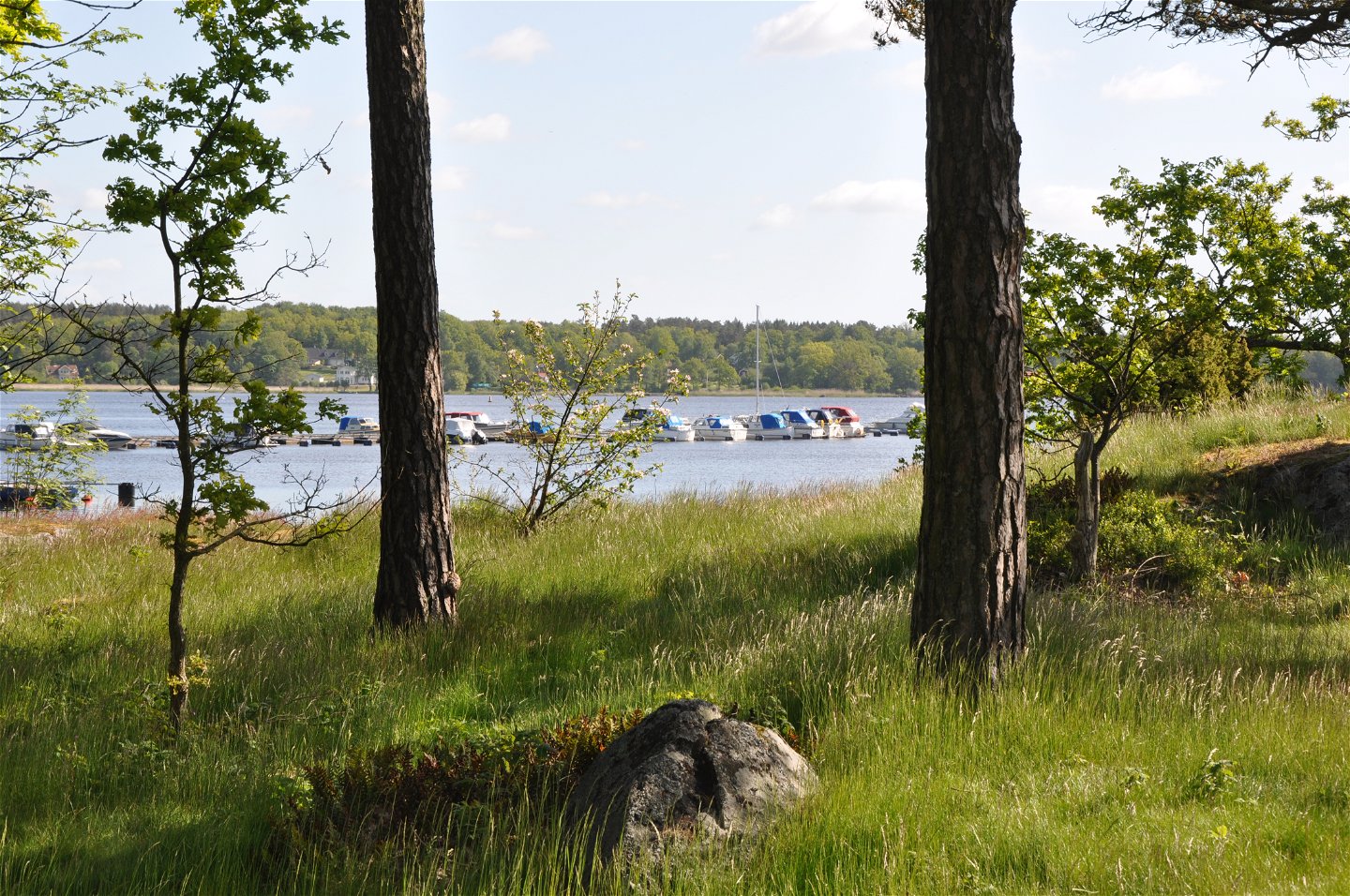
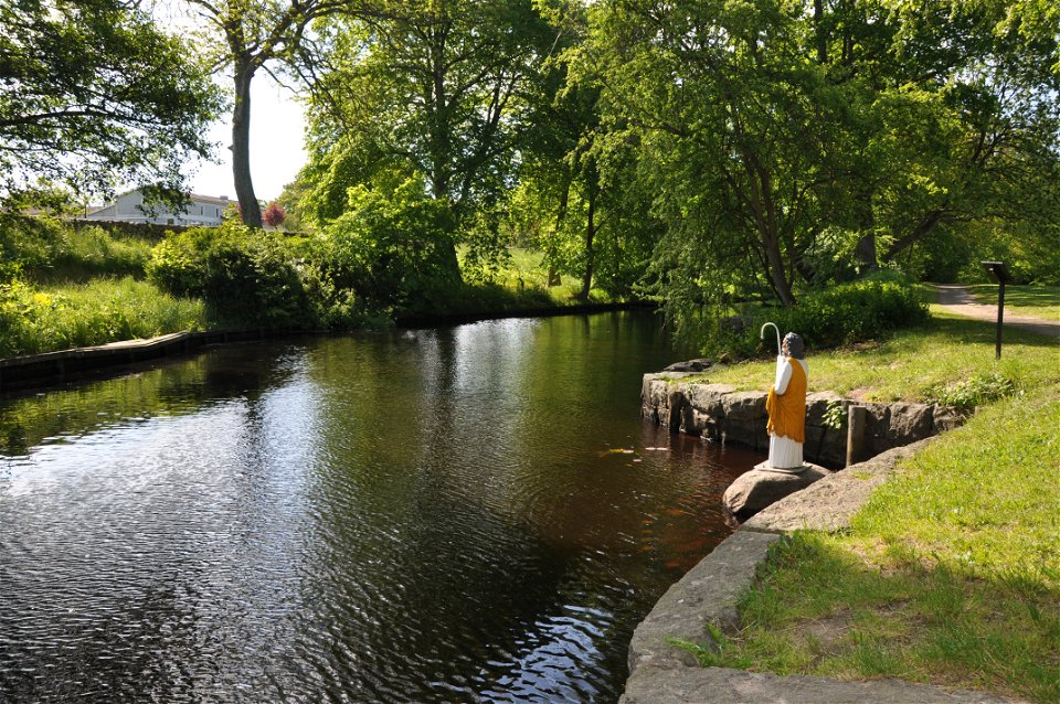
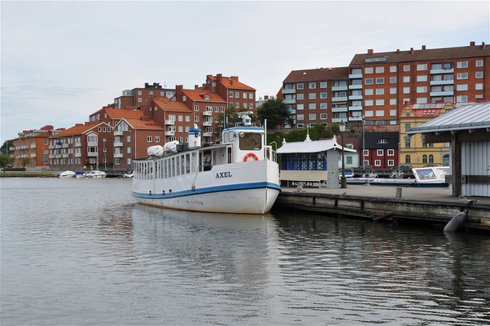
The trail links the natural environment of the archipelago with an archipelago town as you cycle along the coast and on the islands that make up Karlskrona. The trail is an excellent way of exploring the Naval Port of Karlskrona, which is on UNESCO’s list of unmissable World Heritage Sites. Read more about the World Heritage Site and the places it includes here in the app. There is a lot to do in Karlskrona and lots of options for continuing your travels on foot, by kayak, on the archipelago ferries or by bike.
The trail is unmarked so it is best followed in the app or on a map available from the companies in the app or the tourist offices in Karlshamn, Ronneby and Karlskrona.
Biking
Blekinge Arkipelag
Kurpromenaden 4
372 36 Ronneby
Team ARK56
![]()
Ask a question to other Naturkartan users.
Anchor in Karlskrona, the town that was founded in 1680 when Karl XI decided to…
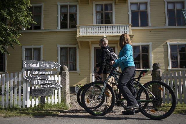
The ARK56 cycle trail runs along winding minor roads through the archipelago landscape. The natural…
