Cycling ARK56
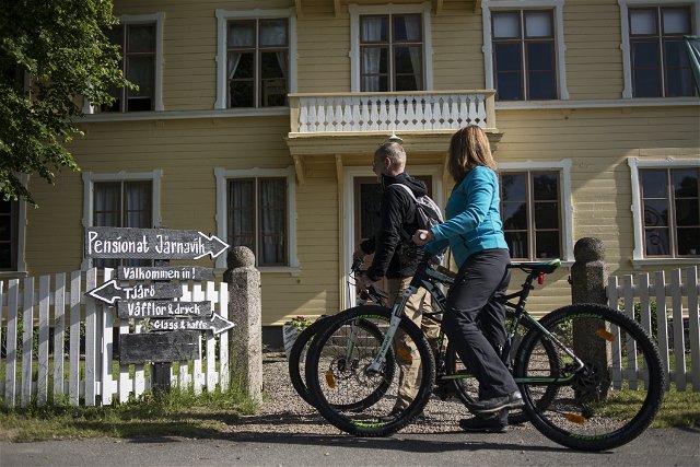
The ARK56 cycle trail runs along winding minor roads through the archipelago landscape. The natural…


Biking
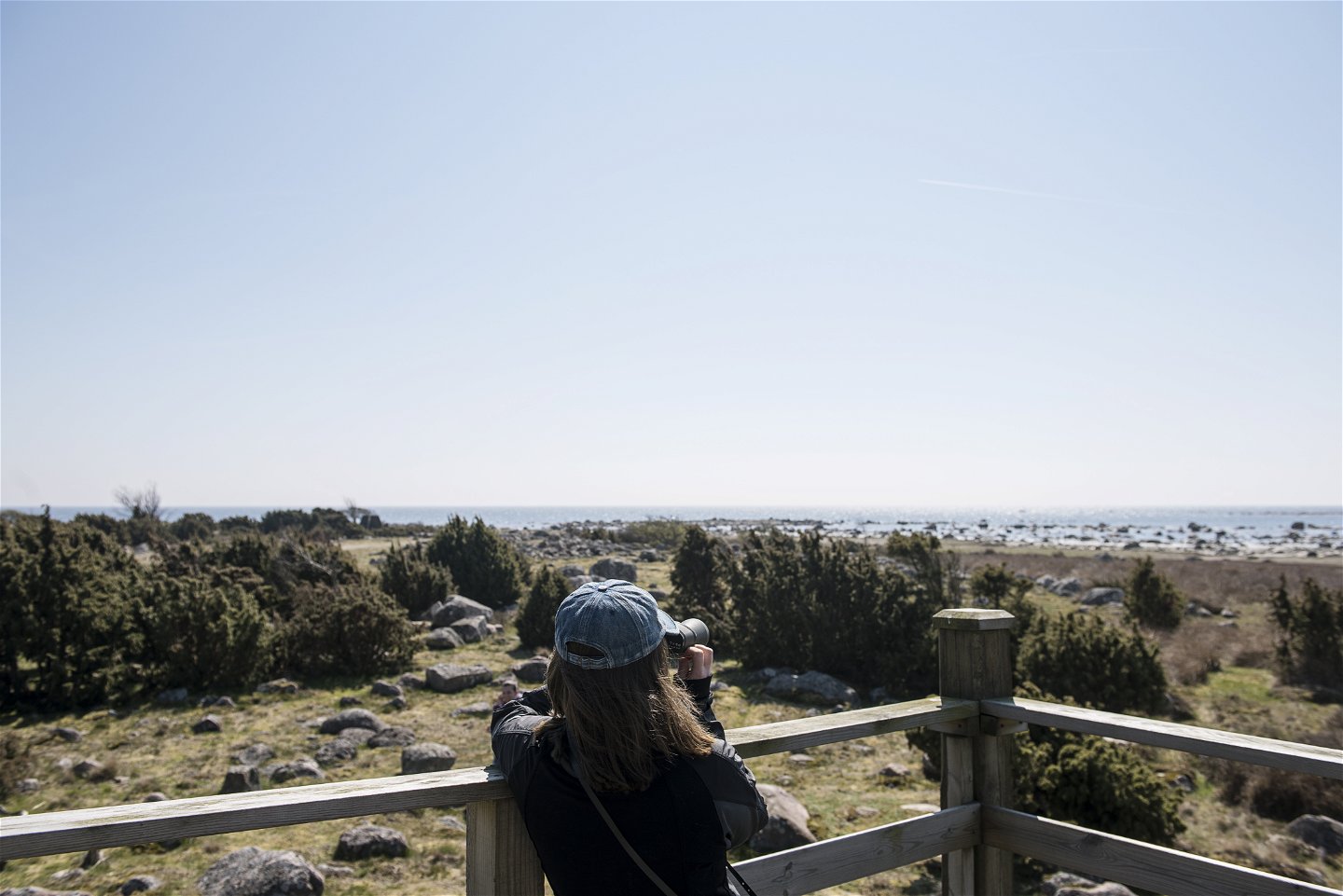
Seeing as you are on the Torhamnslandet headland, it would be a pity not to visit the south-easternmost point on the Swedish mainland at Torhamns udde. Here you get views across the archipelago and can do a spot of birdwatching in the coastal meadows of the nature reserve.
The trail is unmarked so it is best followed in the app or on a map available from the companies in the app or the tourist offices in Karlshamn, Ronneby and Karlskrona.
Biking
Blekinge Arkipelag
Kurpromenaden 4
372 36 Ronneby
Team ARK56
![]()
Ask a question to other Naturkartan users.
The ARK56 cycle trail runs along winding minor roads through the archipelago landscape. The natural…
