Two new ARK56 trails on Almö
Blekinge’s archipelago is known for its calm pace and the variation between open fields, lush forests and coastal landscapes — and Almö is no exception.…


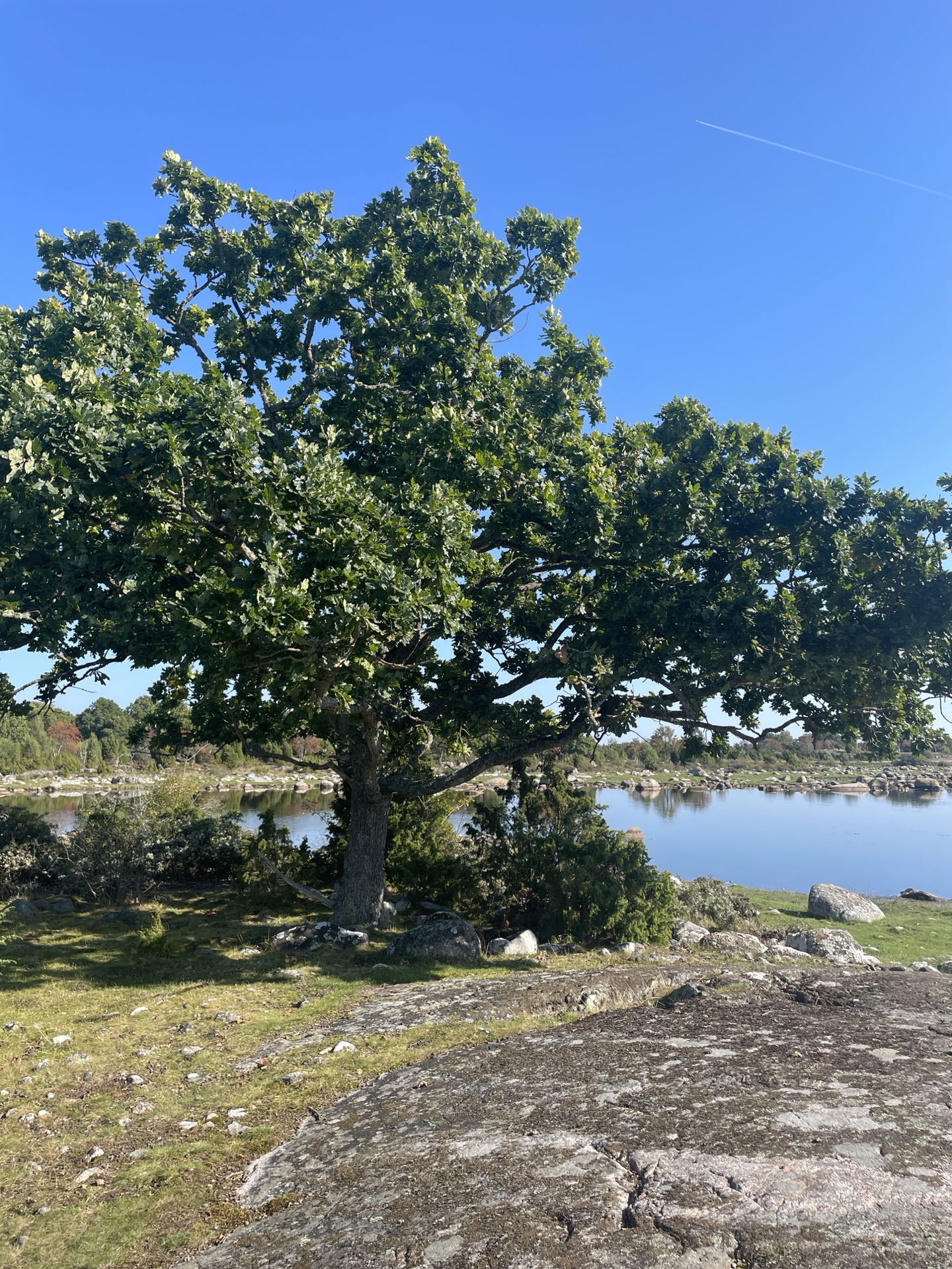
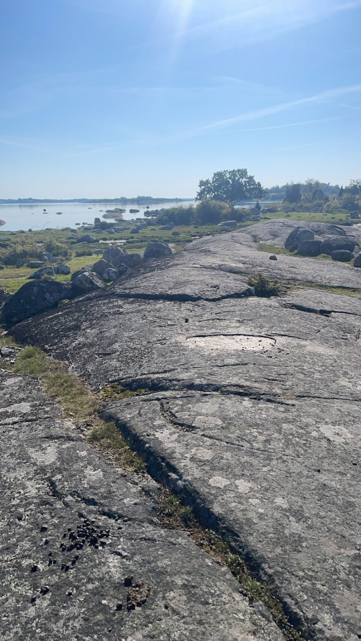
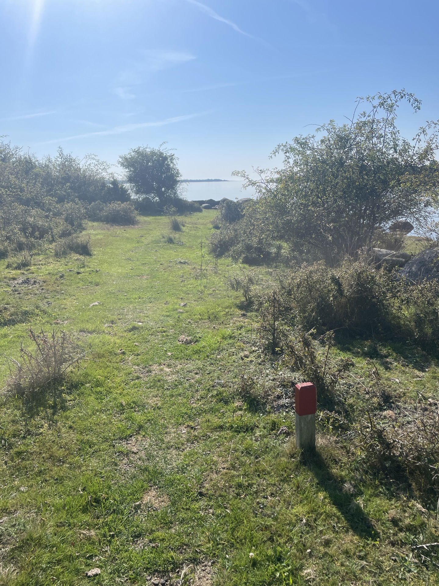
The Udden Trail is a path that runs across open pastures, rocky outcrops and coastal meadows on the western side of Almö Udde. The trail starts at Hasslövägen, opposite the parking area at the southern tip of the nature reserve, and continues north to connect with the accessible trail east of Slätthammar.
There are boardwalks on the wettest sections of the trail, and four picnic tables are placed along the route. The Udden Trail can easily be combined with the longer Almö Trail if you want to walk a circular loop on Almö Udde or continue further north from Slätthammar. The trail follows the coastline and offers beautiful views.
The trail is marked with ARK56 signs along the entire route.
 Hiking
Länsstyrelsen Blekinge
![]()
Ask a question to other Naturkartan users.
