Teknisk uppgradering av Naturkartan måndag morgon

På måndag morgon driftsätter vi en stor teknisk uppgradering av Naturkartan som vi arbetat med i 18 månader. Uppgraderingen ger en snabbare och mer stabil plattform och lägger grunden för de nya funktioner som kommer i Naturkartan version 3 under hösten. Det kan förekomma kortare driftstörningar under början av veckan men vi gör vårt bästa för att lösa alla problem som uppstår. Hjälp oss gärna genom att tipsa oss på emil@outdoormap.com - om något inte fungerar som det skall!

Wandern

Naturstigen

Wandern

0 von 5 Sternen — (siehe Bewertungen)

Details zum Weg

  • Länge 5.0 km

Aktionen

Beschreibung

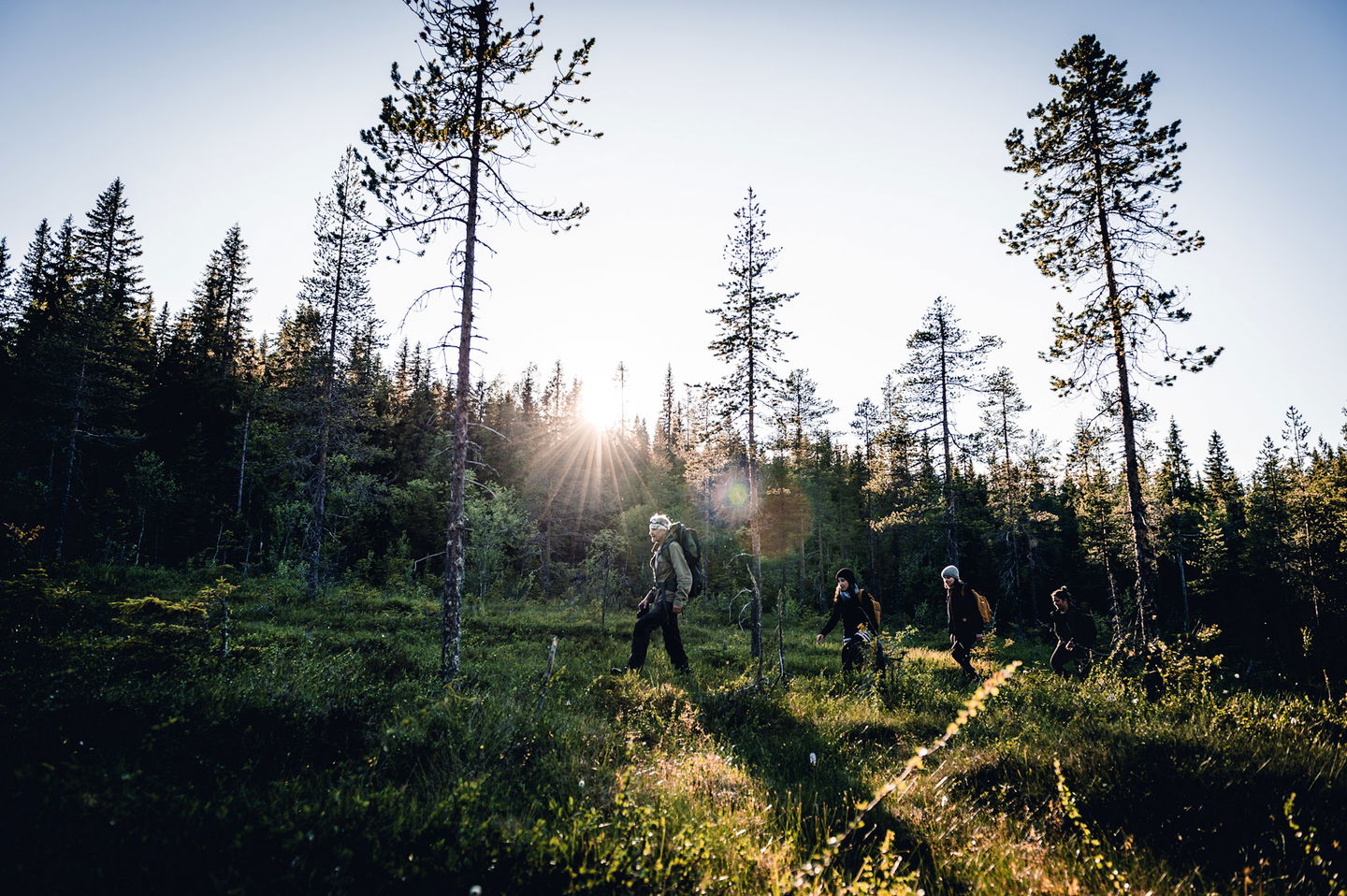
The path goes in hilly terrain with a few short, steeper sections. The path is well marked with blue/white hiking trail signs. Along the path there are signs with information about the landscape, culture, geology and more.

Anreise mit öffentlichen Verkehrsmitteln

Aktivitäten und Einrichtungen

  • Wandern Wandern
  • Feuerstelle Feuerstelle

Fakten

The nature trail runs in hilly terrain with a few short, steeper sections. Along the trail you will find rest areas, shelters and information about landscape, culture and geology. Old forest with high nature values just before large windbreaks

Oberfläche

forest, jogging tracks, hills

Parking

At the Vitberget railway station

Anleitung

Drive Slalomvägen up towards Vitberget's track center.

Kontakt

E-Mail-Adresse

Kundtjänst Skellefteå kommun

+46 910 73 50 00

kundtjanst@skelleftea.se

Bitte beachten Sie, dass einige dieser Texte automatisch übersetzt worden sind.

Fragen & Antworten

Stellen Sie eine Frage an andere Naturkartan-Nutzer.

Bewertungen

Naturkartan

Naturkartan

Öffnen Sie dies in der App