

Skellefteå
Vandringsleder i Skellefteå kommun
Ett bra sätt att hålla sig i form och samtidigt…



Wandern
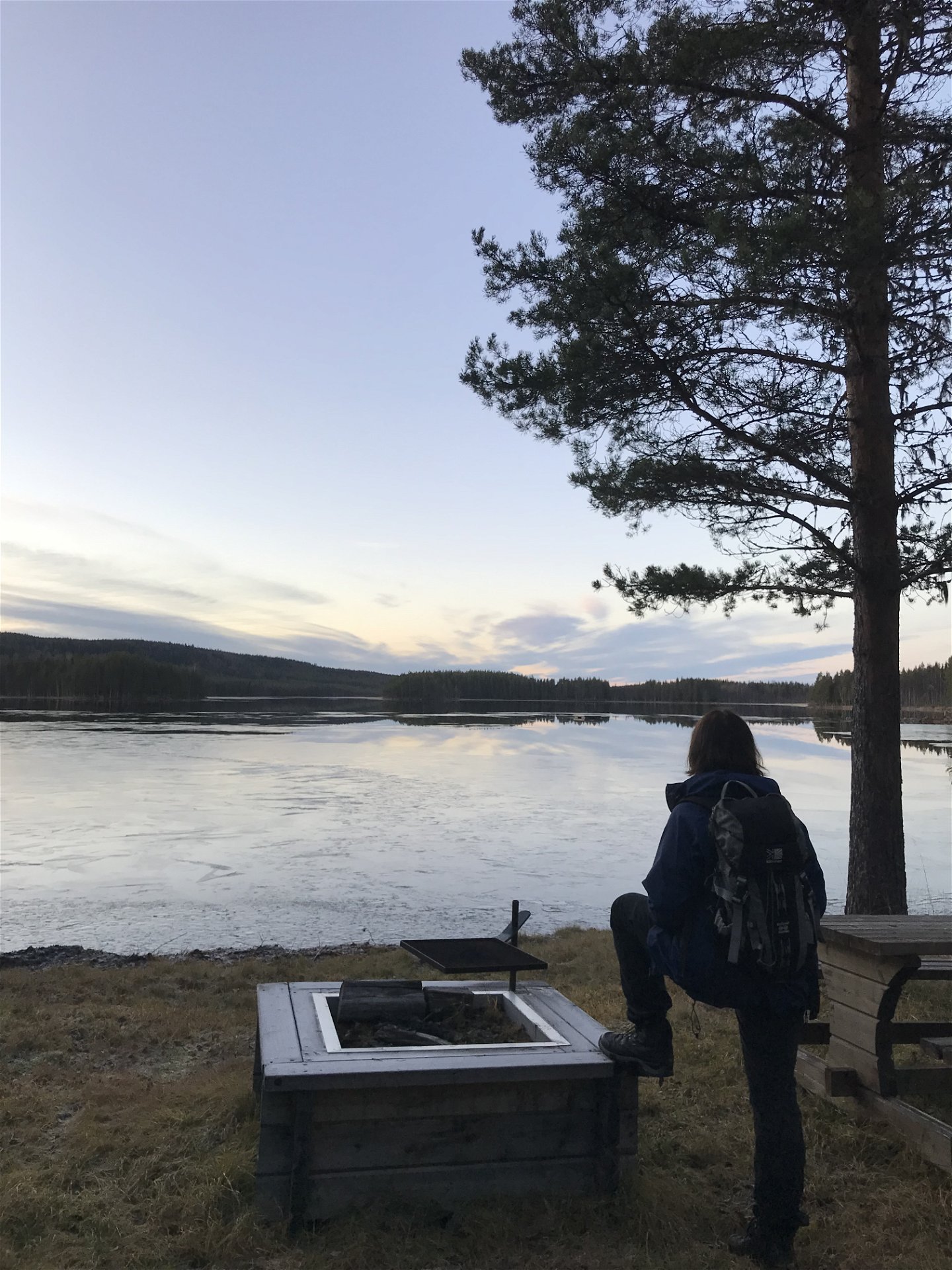
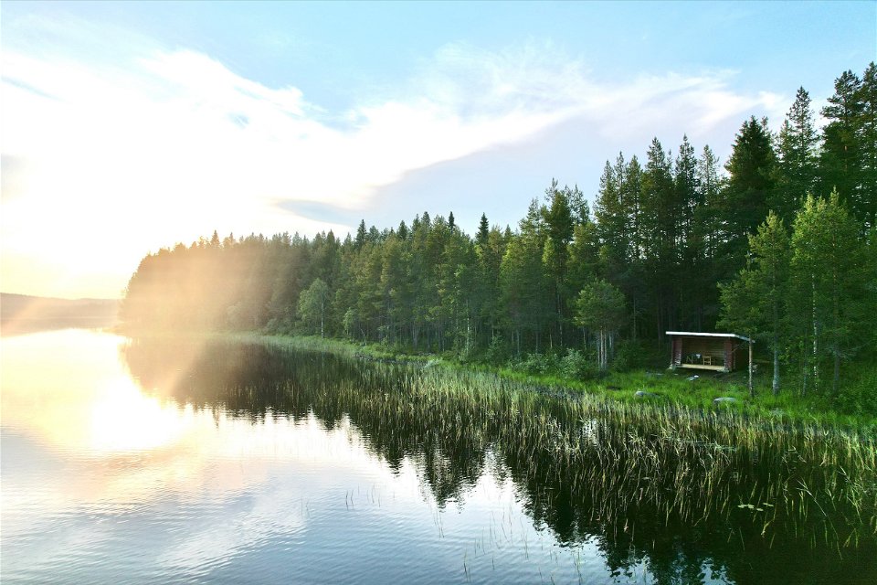
Welcome to Brännvattnet, which is located about 23 km west-northwest of Burträsk. The trail consists of several hundred years old paths that are still used today for those who want to go out and hike.
Wandern
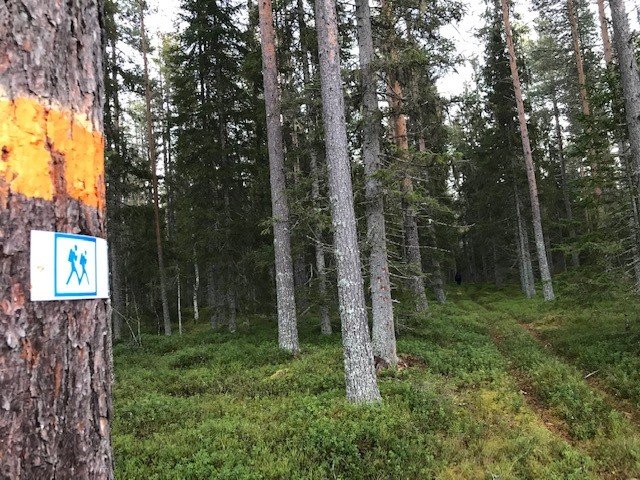
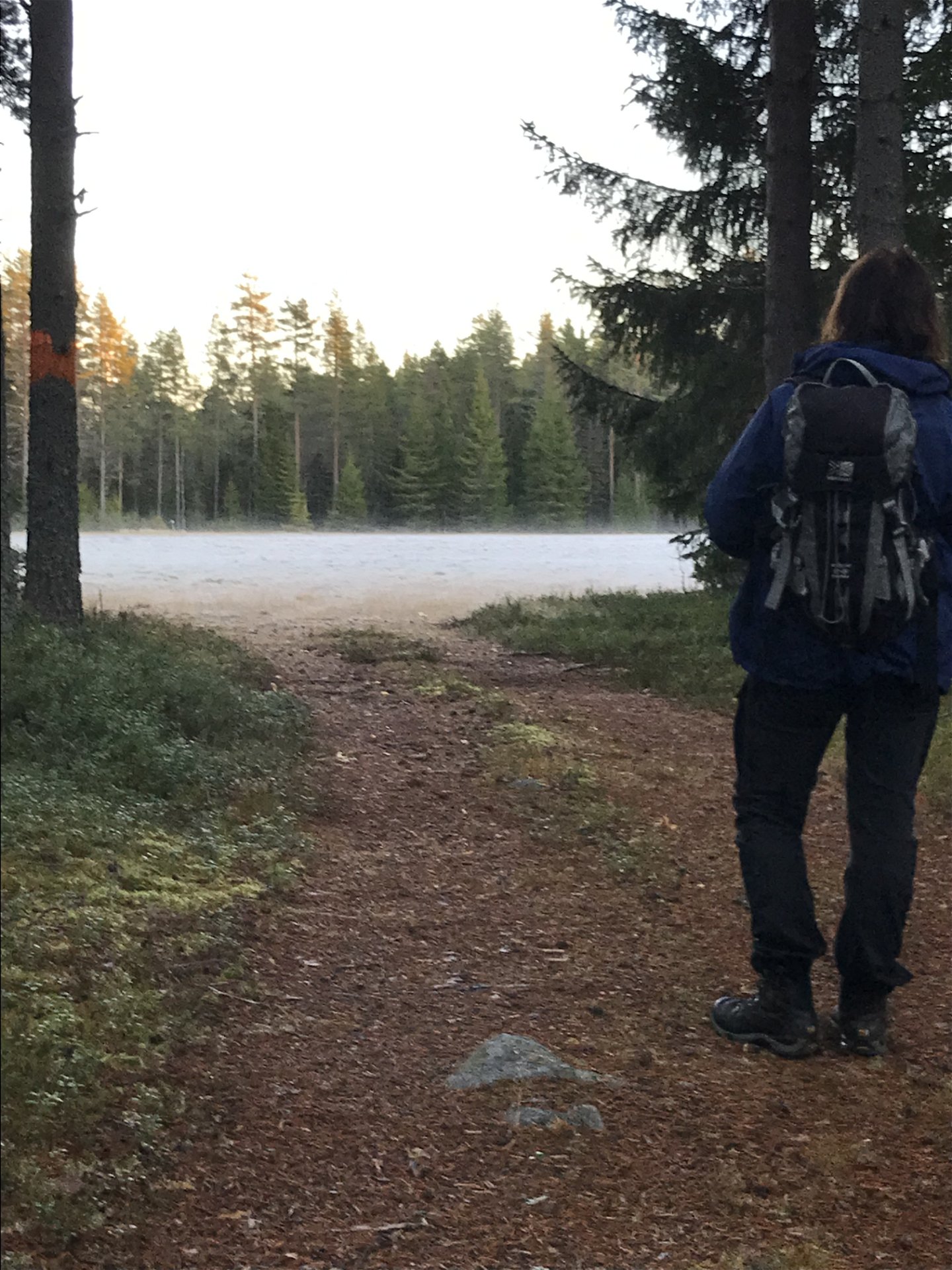
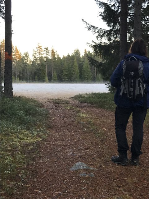
Risåkläppen - Brännvattnet (circular trail) An old road to Åheden that continues to Brännvattnet. Goes through varied terrain that can provide opportunities for nice nature experiences.
dirt road, forest path, forest road
Risåkläppen - Parking instructions are available at the large roundhouse by the road. You can also start in Brännvattnet. Go to the map of hiking trails in Skellefteå municipality and choose the starting point that suits you best. (see route on the map)
Go from Burträsk, west towards Kalvträsk. Two km after Storbränna, turn north towards Brännvattnet.
Kundtjänst Skellefteå kommun

Bitte beachten Sie, dass einige dieser Texte automatisch übersetzt worden sind.
Stellen Sie eine Frage an andere Naturkartan-Nutzer.
Ett bra sätt att hålla sig i form och samtidigt…