


Vandringsstig Njakajaure, Abisko nationalpark
Wandern
- Landkreis: Norrbottens län
- 6378.32 km von Ihnen entfernt
Details zum Weg
- Länge 5.0 km
Aktionen
Beschreibung
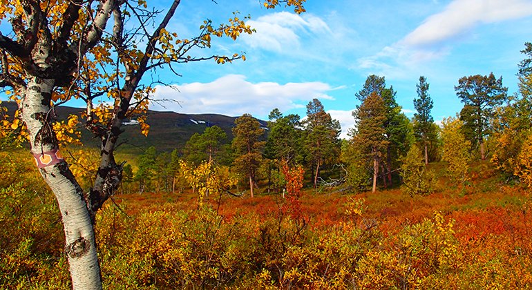
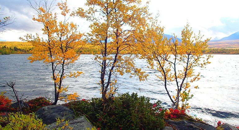
This loop offers changing scenery in the form of birch forest, bogs, moors and a small lake.
Follow the orange trail marks (and the King´s Trail) nearly three kilometres to "Marmorbrottet". It is a high, yellowish-white rock composed of dolomite, a limestone. Here a meditation stone is placed. It is part of the Swedish Church´s Dag Hammarsköld trail.
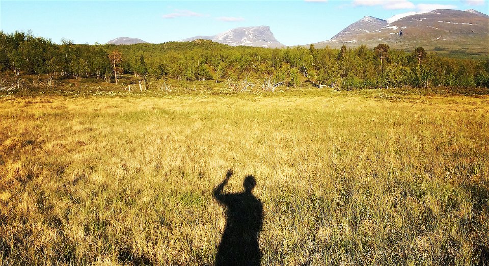
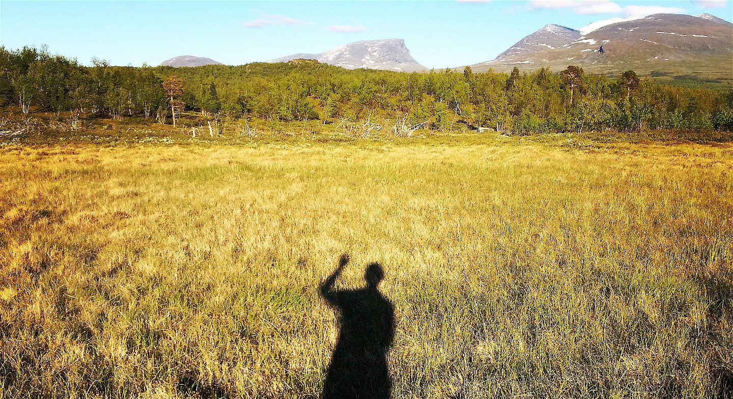
Up on the cliff, the Njakajaure trail leaves the King´s trail. Next, you reach the small lake Vuolip Njáhkájávri (Njakajaure) where you can see the red-throated diver and tufted duck swim. There is a bench and an information sign near the lake.
Going further, back to Abisko, you walk across open moors with an interesting flora. If you lika you can of course take the trail the other way around. The whole trail is 5 kilometres.
Aktivitäten und Einrichtungen
-
Wandern
Kontakt
E-Mail-Adresse
Länsstyrelsen Norrbotten
Logotyp der Organisation
![]()
Bitte beachten Sie, dass einige dieser Texte automatisch übersetzt worden sind.
Fragen & Antworten
Stellen Sie eine Frage an andere Naturkartan-Nutzer.
